Loading...
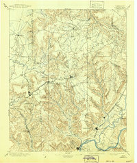
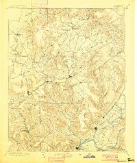
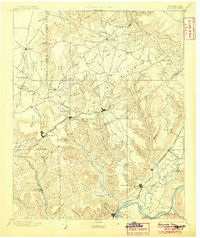
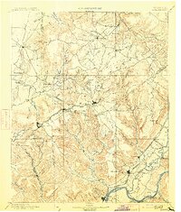
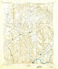
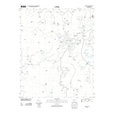
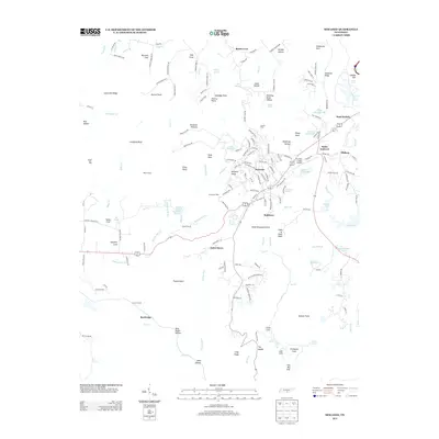
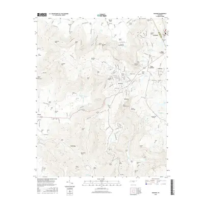
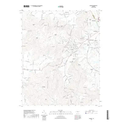
Loading map...1895 Map of Sewanee
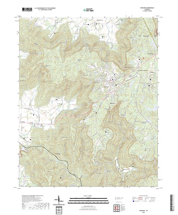
USGS Topo · Published 1941About this map
The Cumberland Plateau in the late 19th century is defined by steep escapements and the early development of resort and educational communities. High on the ridge, the settlement of Sewanee sits near the Cowan Tunnel, a critical engineering feat for the Nashville Chattanooga and St. Louis RR Main Line. The topography is marked by deep coves such as Sweden Cove and Hubbard Cove, which dictate the paths of travel between the plateau and the valley floors.
Find a feature on this map
126 named features on this map. Tap any name to fly to it.
Don’t see what you’re looking for? This feature index may not catch every label — zoom into the map to look around manually.
Map Details
Date Portrayed1895
Date Published1941
PublisherU.S. Geological Survey
Map TypeTopographic
Scale1:125,000
Physical Dimensions16.8 x 20 inches
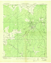
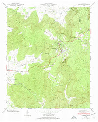
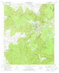
Editions of this 1895 Sewanee Map
6 editions found

Historical Maps of South Pittsburg Through Time
9 maps found
Featured Locations
Source Details
SourceU.S. Geological Survey
CopyrightPublic Domain