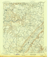
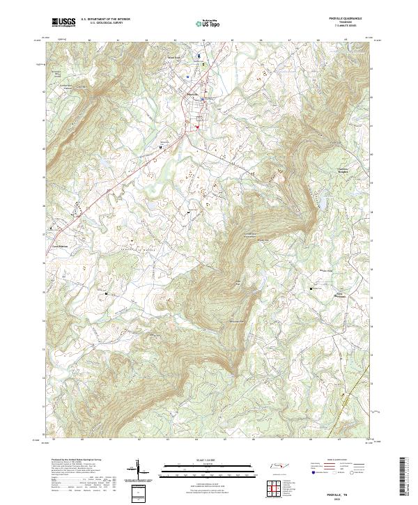
1892 Map of Pikeville
USGS Topo · Published 1892About this map
Cumberland plateau topography dominates this late nineteenth-century survey, revealing a landscape defined by sharp elevation changes and early Appalachian transportation routes. The major settlements of Sparta and Crossville serve as hubs for a network of smaller communities and landings, including Hodge Ferry crossing the Caney Fork river. Industrial and social footprints are visible through sites like Bon Air, Taylor Mill, and Eastland Stand, illustrating the region's early logging and milling economy.
Find a feature on this map
155 named features on this map. Tap any name to fly to it.
Don’t see what you’re looking for? This feature index may not catch every label — zoom into the map to look around manually.
Map Details
Editions of this 1892 Pikeville Map
This is the sole edition of this map. No revisions or reprints were ever made.
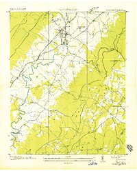
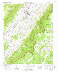
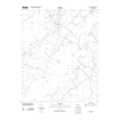
Historical Maps of Crossville Through Time
9 maps found