
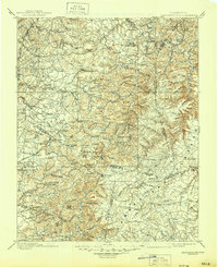
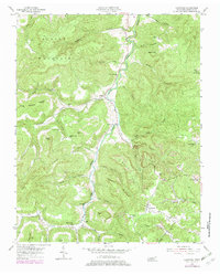
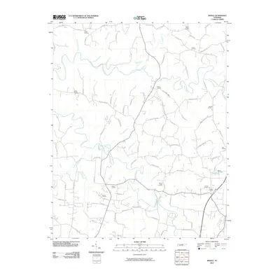
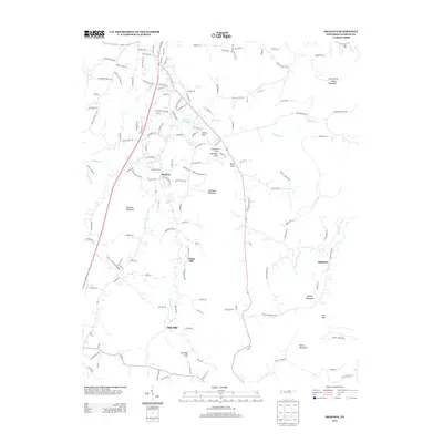
1897 Map of Standingstone
USGS Topo · Published 1897About this map
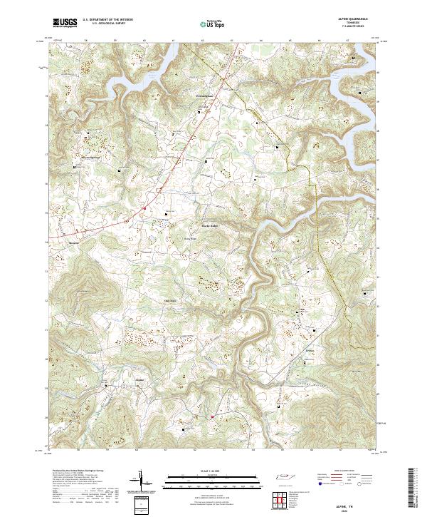
Livingston serves as a primary hub in this late 19th-century survey of the Upper Cumberland, where the plateau's complex drainage systems meet the rising ridges of Alpine Mountain and Skinner Mountain. The landscape is defined by its deep coves and gaps, such as Copeland Cove and Thorn Gap, which directed early settlement patterns and mountain travel. The emergence of the Nashville and Knoxville railroad through the southern portion of the map provided a vital connection for the towns of Algood and Monterey, bridging the gap between the plateau and the valley below.
Find a feature on this map
188 named features on this map. Tap any name to fly to it.
Don’t see what you’re looking for? This feature index may not catch every label — zoom into the map to look around manually.
Map Details
Editions of this 1897 Standingstone Map
This is the sole edition of this map. No revisions or reprints were ever made.
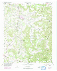
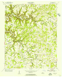
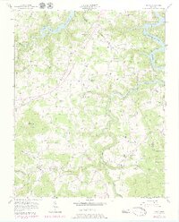
Historical Maps of Cookeville Through Time
34 maps found
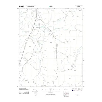
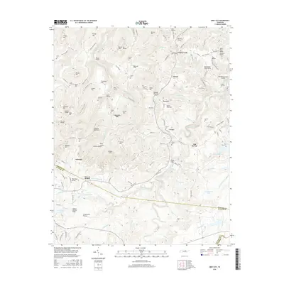
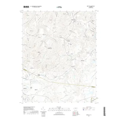
1897 Standingstone
Overton County, TN
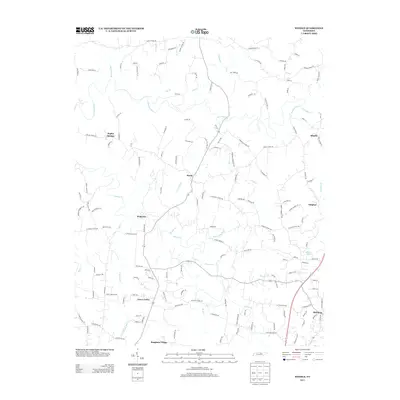
1898 Standingstone
Overton County, TN
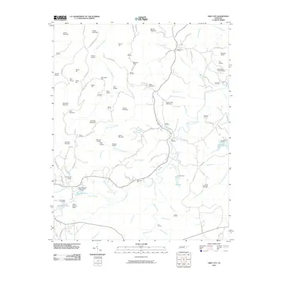
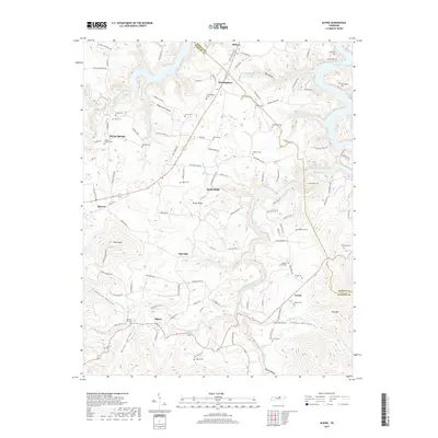
1946 Obey City
Overton County, TN
1950 Obey City
Overton County, TN
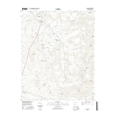
1951 Windle
Overton County, TN
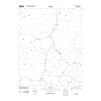
1954 Crawford
Overton County, TN
1955 Okalona
Overton County, TN
1955 Windle
Overton County, TN
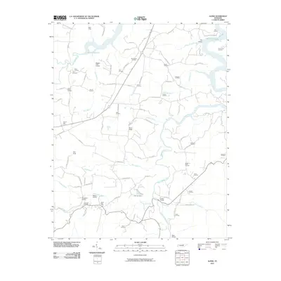
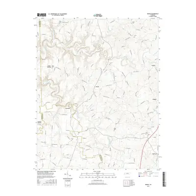
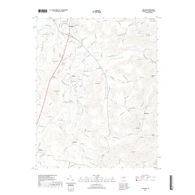
1956 Alpine
Overton County, TN
2010 Alpine
Overton County, TN
2010 Crawford
Overton County, TN
2010 Obey City
Overton County, TN
2010 Okalona
Overton County, TN
2010 Windle
Overton County, TN
2013 Alpine
Overton County, TN
2013 Crawford
Overton County, TN
2013 Obey City
Overton County, TN
2013 Okalona
Overton County, TN
2013 Windle
Overton County, TN
2016 Alpine
Overton County, TN
2016 Crawford
Overton County, TN
2016 Obey City
Overton County, TN
2016 Okalona
Overton County, TN
2016 Windle
Overton County, TN
2019 Alpine
Overton County, TN

2019 Crawford
Overton County, TN
2019 Obey City
Overton County, TN
2019 Okalona
Overton County, TN
2019 Windle
Overton County, TN
2022 Alpine
Overton County, TN
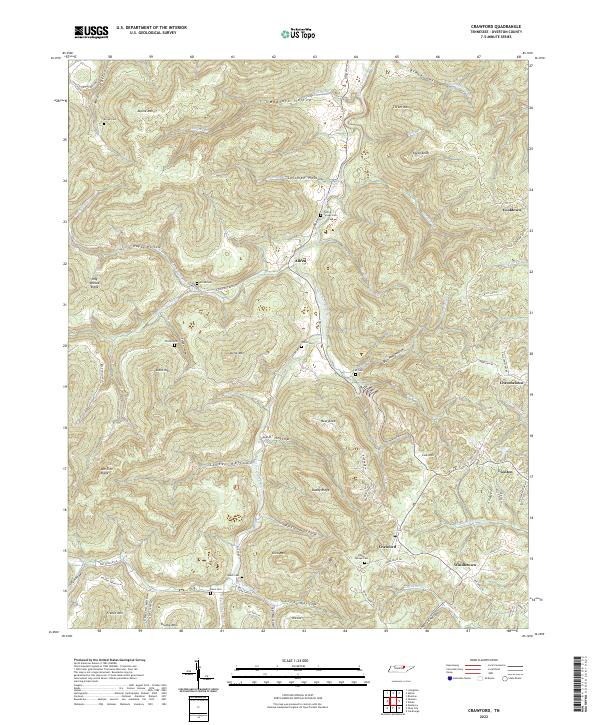
2022 Crawford
Overton County, TN
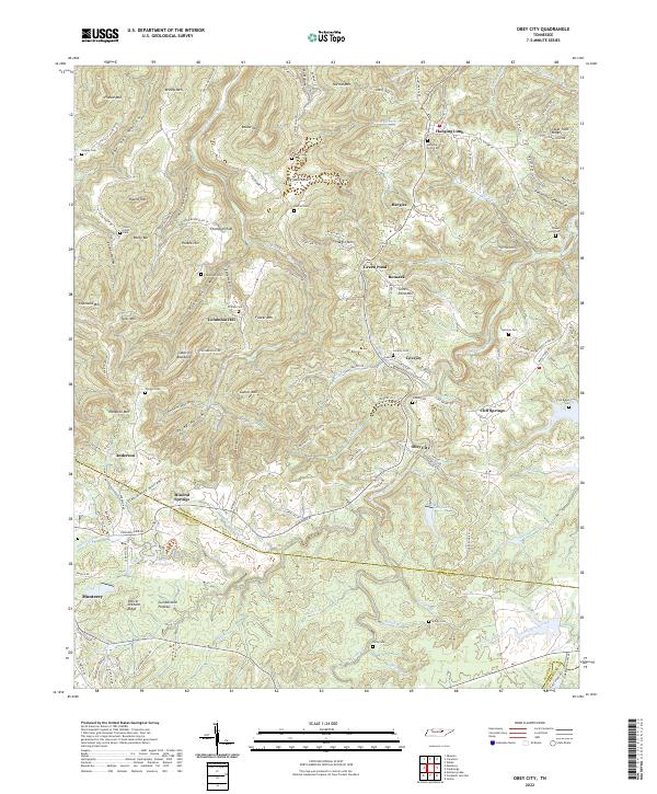
2022 Obey City
Overton County, TN
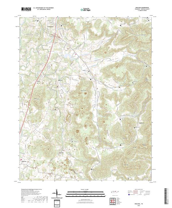
2022 Okalona
Overton County, TN
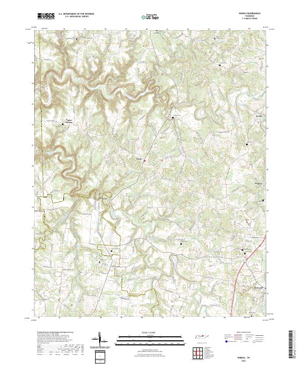
2022 Windle
Overton County, TN