
1913 Map of Hollow Springs
USGS Topo · Published 1913About this map
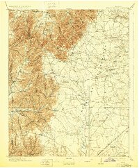
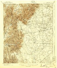
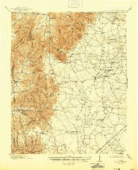
The Barrens dominates the eastern half of this Tennessee landscape, a distinct geographic transition where the rolling highland plateau meets the dissected hills of the Central Basin. The 1911 survey captures a highly localized economy defined by small rural schools and family-run stores, such as Wisers Store and Hickerson Store, which served as hubs for the surrounding farmsteads. The Duck River and its tributaries, including Teal Creek and Messick Creek, carve through the southern plains, while the western edge is defined by sharp elevation changes at Wisers Bluff and Gilly Hill.
Find a feature on this map
87 named features on this map. Tap any name to fly to it.
Don’t see what you’re looking for? This feature index may not catch every label — zoom into the map to look around manually.
Map Details
Editions of this 1913 Hollow Springs Map
4 editions found
Other maps of this area

1893 · Mc Minnville
USGS Topo · 1:125,000

1895 · Mc Minnville
USGS Topo · 1:125,000

1895 · Sewanee
USGS Topo · 1:125,000

1908 · Woodbury
USGS Topo · 1:62,500

1916 · Murfreesboro
USGS Topo · 1:62,500

1936 · Ovoca
USGS Topo · 1:24,000

1936 · Webbs Jungle
USGS Topo · 1:24,000

1936 · Fredonia
USGS Topo · 1:24,000

1936 · Manchester
USGS Topo · 1:24,000

1936 · Beech Grove
USGS Topo · 1:24,000