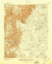
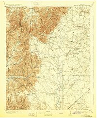
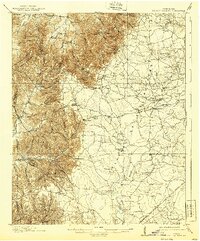
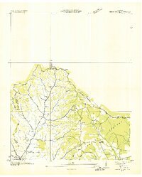
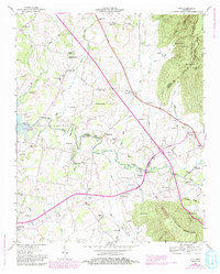
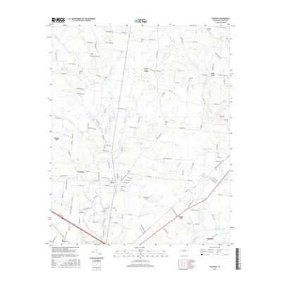
1913 Map of Hollow Springs
USGS Topo · Published 1944About this map
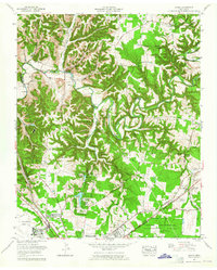
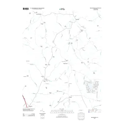
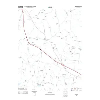
Bradyville and the high ridges of the Cumberland Watershed dominate this 1911 survey of the Tennessee hill country. The landscape is defined by a dense network of family-named hollows and ridges, such as Raines Ridge and Boogher Hill, where small communities supported an array of local institutions. Education and faith were central to life here, evidenced by the numerous small schoolhouses like Gnat Hill School, Ivy Bluff School, and Goose Pond School scattered across the valleys.
Find a feature on this map
98 named features on this map. Tap any name to fly to it.
Don’t see what you’re looking for? This feature index may not catch every label — zoom into the map to look around manually.
Map Details
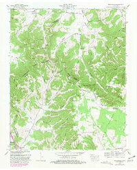
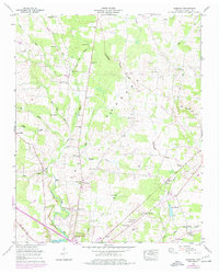
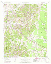
Editions of this 1913 Hollow Springs Map
4 editions found

Historical Maps of Manchester Through Time
40 maps found
1913 Hollow Springs
Coffee County, TN

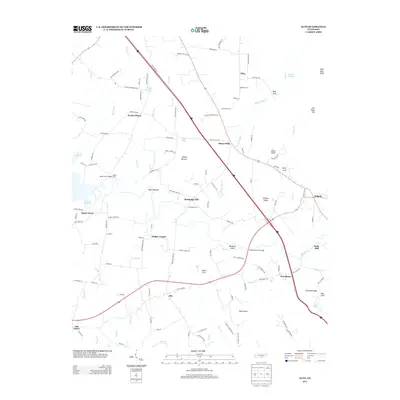
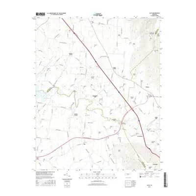
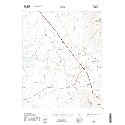
1936 Alto
Coffee County, TN
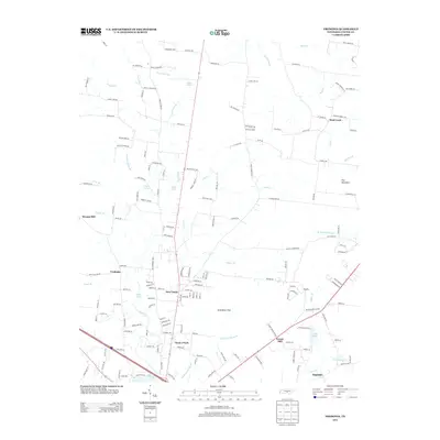
1936 Beech Grove
Coffee County, TN

1936 Fredonia
Coffee County, TN

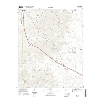
1936 Noah
Coffee County, TN

1936 Ovoca
Coffee County, TN

1941 Ovoca
Coffee County, TN
1947 Alto
Coffee County, TN
1953 Beechgrove
Coffee County, TN
1956 Fredonia
Coffee County, TN
1956 Noah
Coffee County, TN
1962 Ovoca
Coffee County, TN
1972 Ovoca
Coffee County, TN
1976 Noah
Coffee County, TN
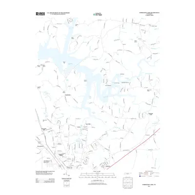
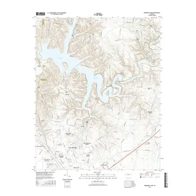
1976 Normandy Lake
Coffee County, TN
2010 Alto
Coffee County, TN
2010 Beechgrove
Coffee County, TN
2010 Fredonia
Coffee County, TN
2010 Noah
Coffee County, TN
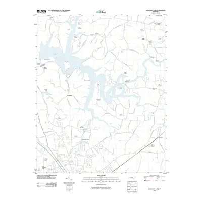
2010 Normandy Lake
Coffee County, TN
2013 Alto
Coffee County, TN
2013 Beechgrove
Coffee County, TN
2013 Fredonia
Coffee County, TN
2013 Noah
Coffee County, TN
2013 Normandy Lake
Coffee County, TN
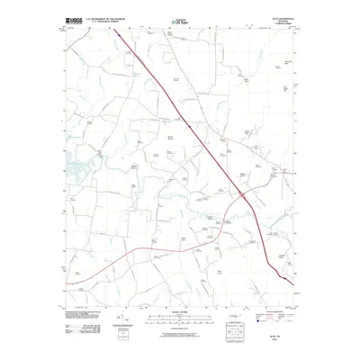
2016 Alto
Coffee County, TN
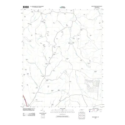
2016 Beechgrove
Coffee County, TN
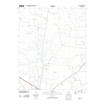
2016 Fredonia
Coffee County, TN
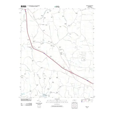
2016 Noah
Coffee County, TN
2016 Normandy Lake
Coffee County, TN
2019 Alto
Coffee County, TN
2019 Beechgrove
Coffee County, TN
2019 Fredonia
Coffee County, TN
2019 Noah
Coffee County, TN
2019 Normandy Lake
Coffee County, TN
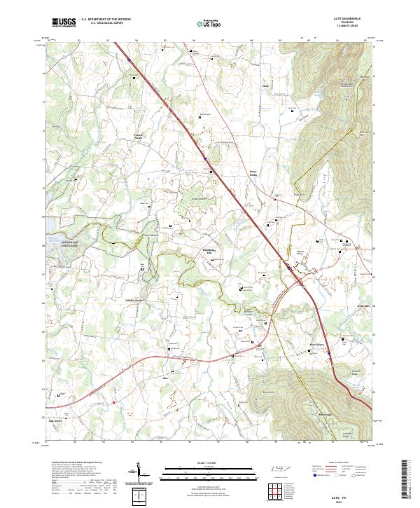
2022 Alto
Coffee County, TN
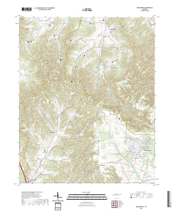
2022 Beechgrove
Coffee County, TN
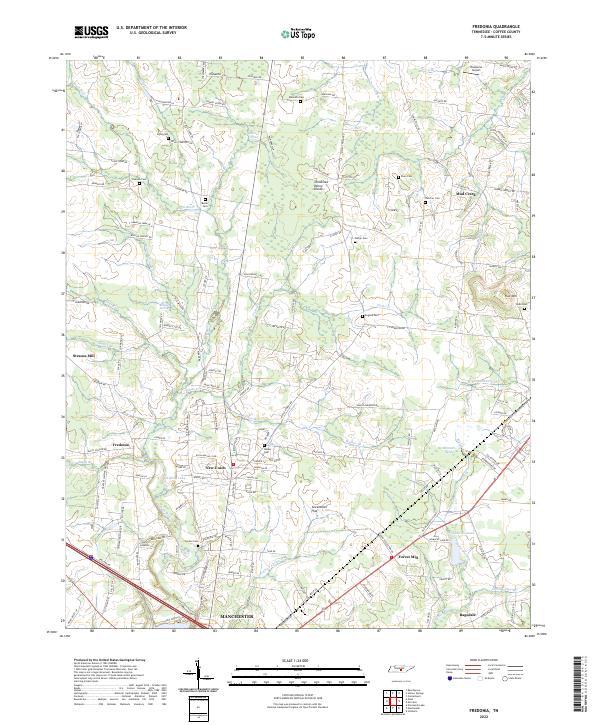
2022 Fredonia
Coffee County, TN
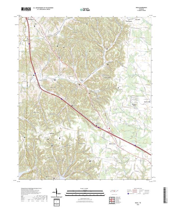
2022 Noah
Coffee County, TN
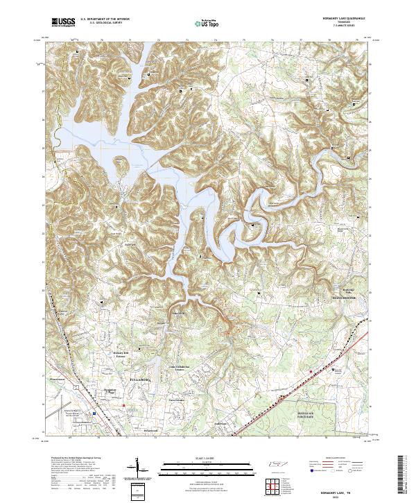
2022 Normandy Lake
Coffee County, TN