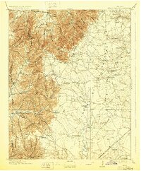
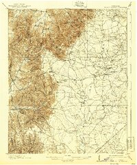
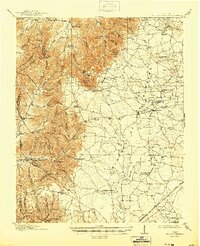
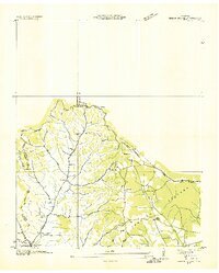
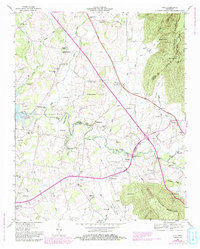
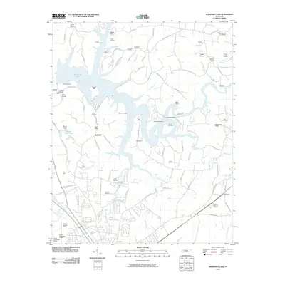
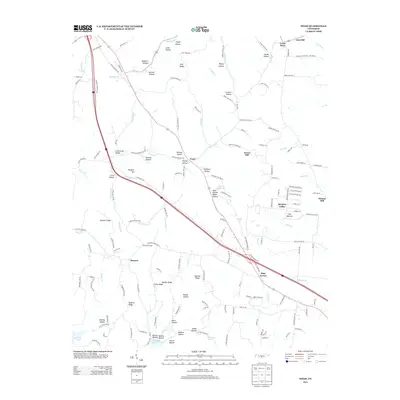
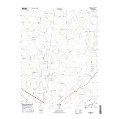
1913 Map of Hollow Springs
USGS Topo · Published 1929About this map
Cumberland Watershed and Tennessee Watershed divides define the high ridges and deep hollows of this central Tennessee landscape, where small agricultural communities thrived just before the First World War. The terrain transitions from the broken hills of Dickens Ridge and Raines Ridge to the flat, open reaches known as the Barrens. Local life is anchored by a dense network of one-room schoolhouses like Gnat Hill School, Farrar Hill School, and Ragsdale School, alongside country gathering points like Wisers Store. The Nashville Chattanooga and St Louis RR cuts through the southeastern corner, while the Duck River and Barren Fork drain the diverse topography. From the vanished commerce at Hickersons Store to the rural quiet of Noah and Beech Grove, the map captures a period of early 20th-century settlement before modern infrastructure transformed these county lines.
Find a feature on this map
88 named features on this map. Tap any name to fly to it.
Don’t see what you’re looking for? This feature index may not catch every label — zoom into the map to look around manually.
Map Details
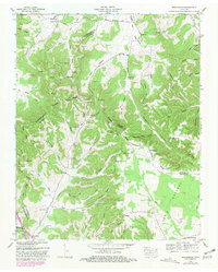
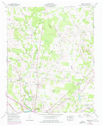
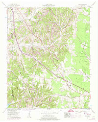
Editions of this 1913 Hollow Springs Map
4 editions found

Historical Maps of Manchester Through Time
40 maps found
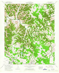
1913 Hollow Springs
Coffee County, TN

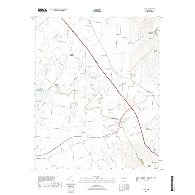
1936 Alto
Coffee County, TN
1936 Beech Grove
Coffee County, TN

1936 Fredonia
Coffee County, TN

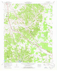
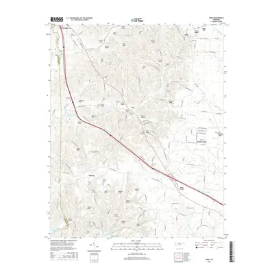
1936 Noah
Coffee County, TN

1936 Ovoca
Coffee County, TN

1941 Ovoca
Coffee County, TN
1947 Alto
Coffee County, TN
1953 Beechgrove
Coffee County, TN
1956 Fredonia
Coffee County, TN
1956 Noah
Coffee County, TN
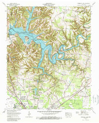
1962 Ovoca
Coffee County, TN
1972 Ovoca
Coffee County, TN
1976 Noah
Coffee County, TN
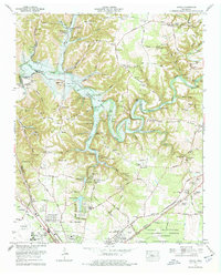
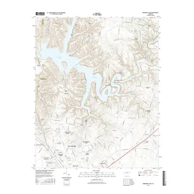
1976 Normandy Lake
Coffee County, TN
2010 Alto
Coffee County, TN
2010 Beechgrove
Coffee County, TN
2010 Fredonia
Coffee County, TN
2010 Noah
Coffee County, TN
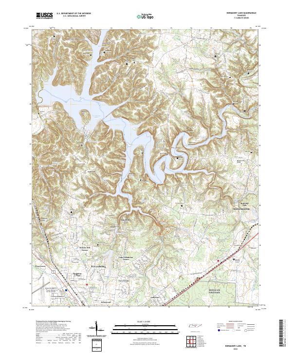
2010 Normandy Lake
Coffee County, TN
2013 Alto
Coffee County, TN
2013 Beechgrove
Coffee County, TN
2013 Fredonia
Coffee County, TN
2013 Noah
Coffee County, TN
2013 Normandy Lake
Coffee County, TN
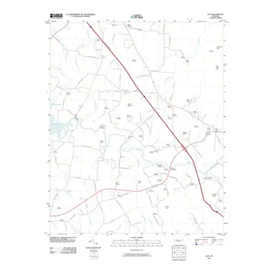
2016 Alto
Coffee County, TN
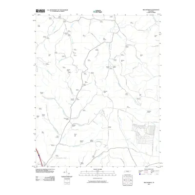
2016 Beechgrove
Coffee County, TN
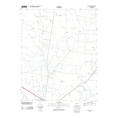
2016 Fredonia
Coffee County, TN
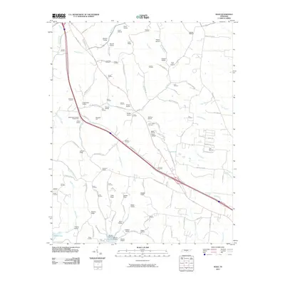
2016 Noah
Coffee County, TN
2016 Normandy Lake
Coffee County, TN
2019 Alto
Coffee County, TN
2019 Beechgrove
Coffee County, TN
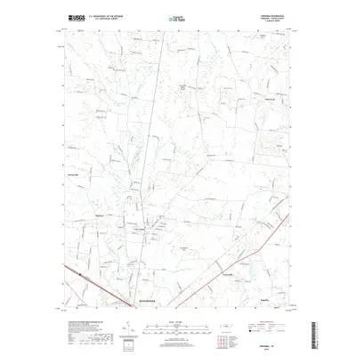
2019 Fredonia
Coffee County, TN
2019 Noah
Coffee County, TN
2019 Normandy Lake
Coffee County, TN
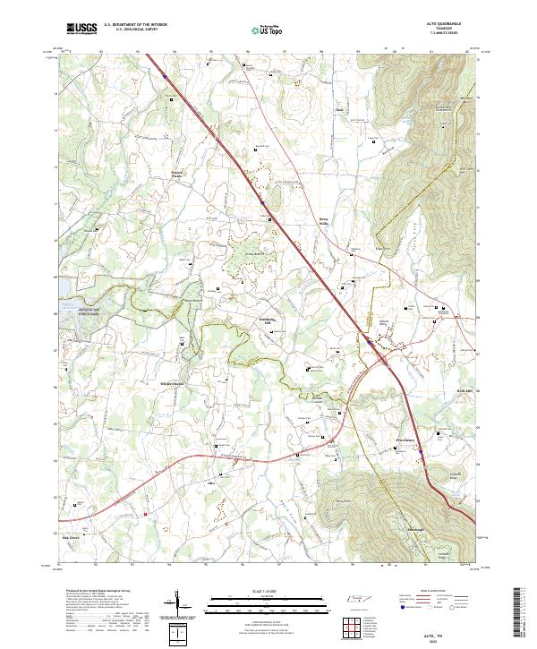
2022 Alto
Coffee County, TN
2022 Beechgrove
Coffee County, TN
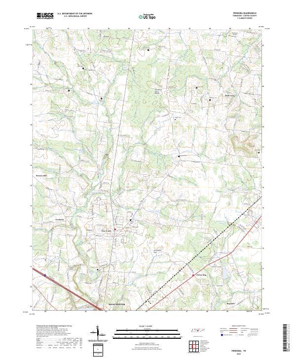
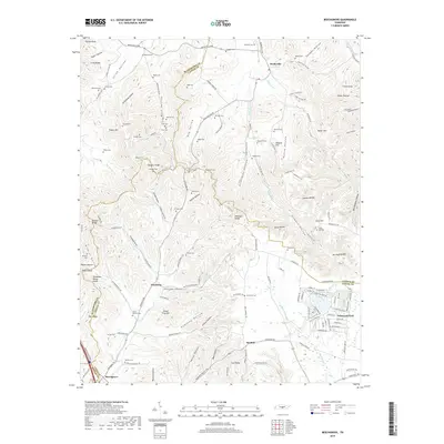
2022 Fredonia
Coffee County, TN
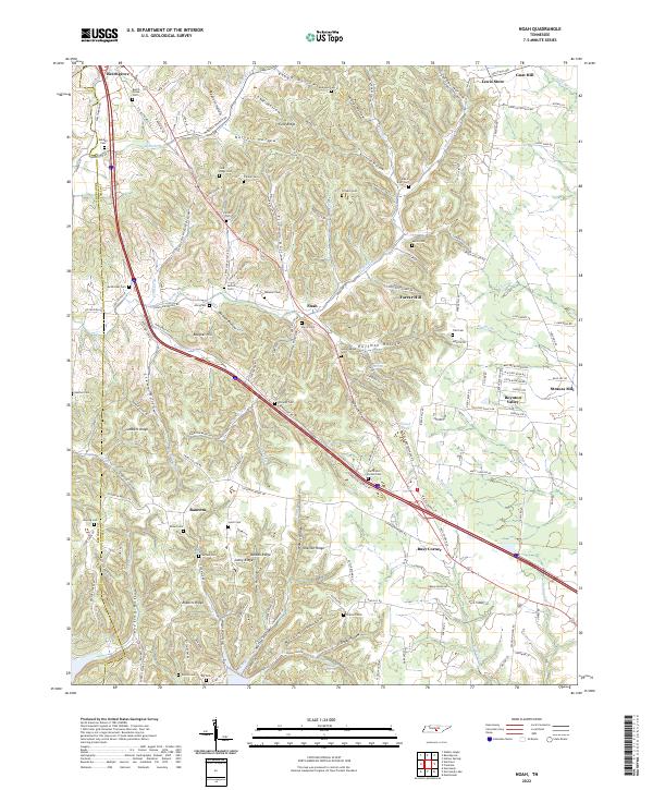
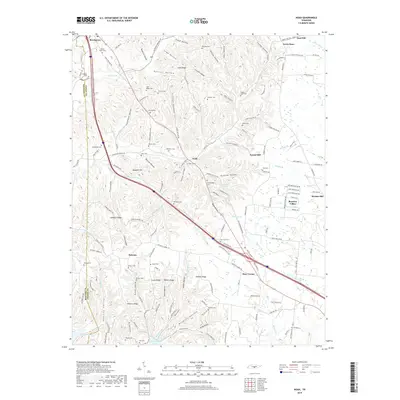
2022 Noah
Coffee County, TN
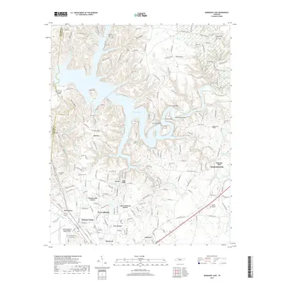
2022 Normandy Lake
Coffee County, TN