
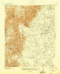
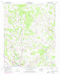
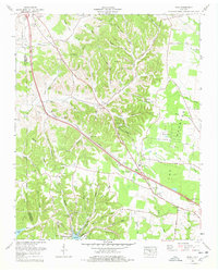
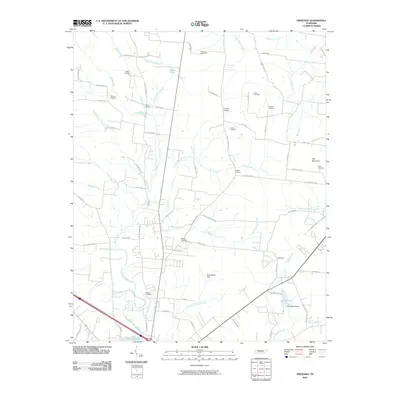
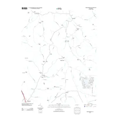
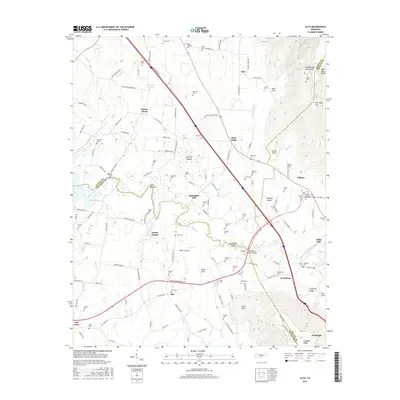
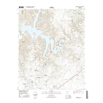
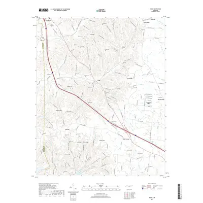
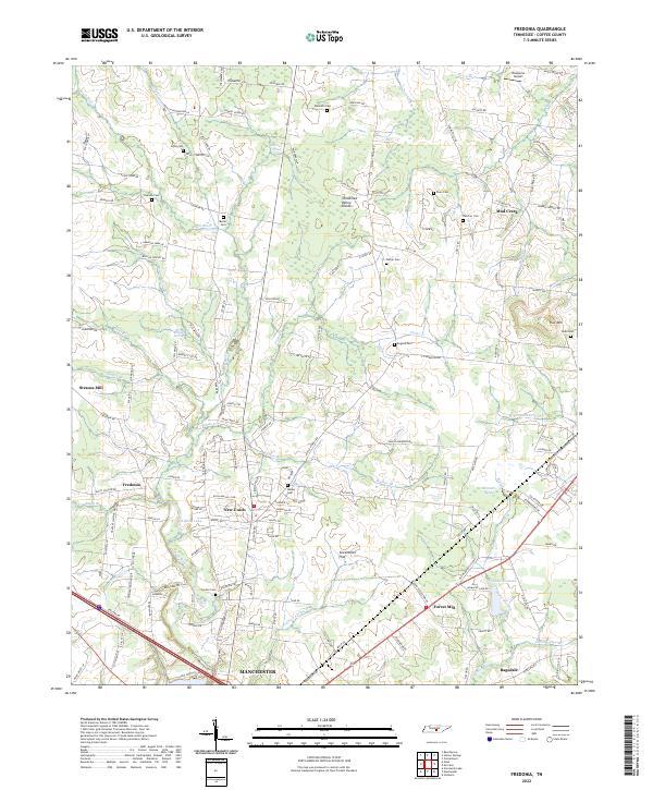
1936 Map of Fredonia
USGS Topo · Published 1936About this map
The Tennessee Basin Divide cuts across this 1930s landscape, separating the intricate drainage of the Duck River from the surrounding uplands. Local life is centered around small rural hubs like Fredonia and Holly, while the agrarian economy is reflected in the numerous schools and churches scattered across the terrain. Education was clearly a priority for these remote communities, as evidenced by specialized sites like Maple Springs Sch, Mud Creek Sch, and the Patmos Chapel Sch.
Find a feature on this map
65 named features on this map. Tap any name to fly to it.
Don’t see what you’re looking for? This feature index may not catch every label — zoom into the map to look around manually.
Map Details
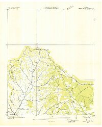
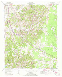
Editions of this 1936 Fredonia Map
This is the sole edition of this map. No revisions or reprints were ever made.
Historical Maps of Manchester Through Time
40 maps found
1913 Hollow Springs
Coffee County, TN

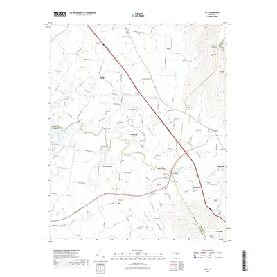
1936 Alto
Coffee County, TN
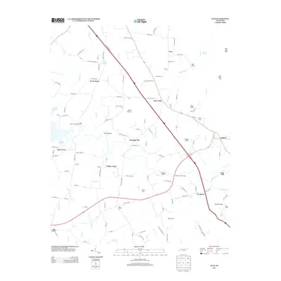
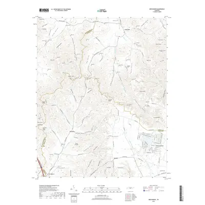
1936 Beech Grove
Coffee County, TN
1936 Fredonia
Coffee County, TN

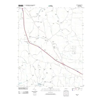
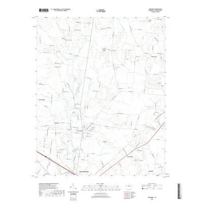
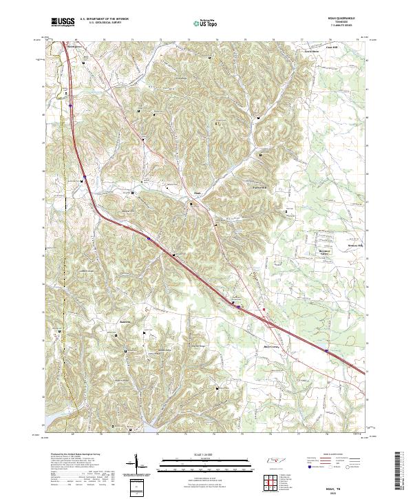
1936 Noah
Coffee County, TN

1936 Ovoca
Coffee County, TN

1941 Ovoca
Coffee County, TN
1947 Alto
Coffee County, TN
1953 Beechgrove
Coffee County, TN
1956 Fredonia
Coffee County, TN
1956 Noah
Coffee County, TN
1962 Ovoca
Coffee County, TN
1972 Ovoca
Coffee County, TN
1976 Noah
Coffee County, TN
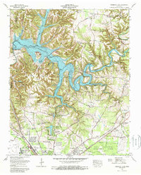
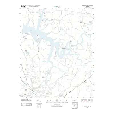
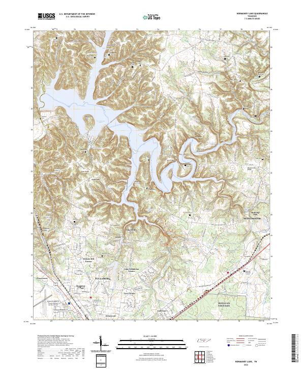
1976 Normandy Lake
Coffee County, TN
2010 Alto
Coffee County, TN
2010 Beechgrove
Coffee County, TN
2010 Fredonia
Coffee County, TN
2010 Noah
Coffee County, TN
2010 Normandy Lake
Coffee County, TN
2013 Alto
Coffee County, TN
2013 Beechgrove
Coffee County, TN
2013 Fredonia
Coffee County, TN
2013 Noah
Coffee County, TN
2013 Normandy Lake
Coffee County, TN
2016 Alto
Coffee County, TN
2016 Beechgrove
Coffee County, TN
2016 Fredonia
Coffee County, TN
2016 Noah
Coffee County, TN
2016 Normandy Lake
Coffee County, TN
2019 Alto
Coffee County, TN
2019 Beechgrove
Coffee County, TN
2019 Fredonia
Coffee County, TN
2019 Noah
Coffee County, TN
2019 Normandy Lake
Coffee County, TN
2022 Alto
Coffee County, TN
2022 Beechgrove
Coffee County, TN
2022 Fredonia
Coffee County, TN
2022 Noah
Coffee County, TN
2022 Normandy Lake
Coffee County, TN