
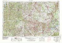
1956 Map of Columbia
USGS Topo · Published 1960About this map
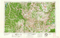
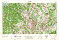
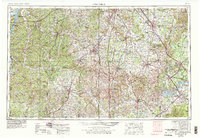
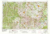
Duck River and its many tributaries, including Swan Cr and Richland Cr, dominate the central drainage of this mid-century Middle Tennessee landscape. The map captures a region defined by established market towns and the expanding infrastructure of the postwar era, such as the Arnold Engineering Development Center near Tullahoma. To the northwest, the massive expanse of Kentucky Lake is visible, bordered by the Tennessee National Wildlife Refuge. The spatial relationship between historic sites like Stones River National Military Park and the industrial growth of Murfreesboro and Shelbyville illustrates a transition from the area's 19th-century agrarian roots toward modern development. Significant rail networks, including the Louisville and Nashville and the Nashville Chattanooga and St Louis, cross the terrain, connecting Columbia and Lewisburg to the larger regional economy.
Find a feature on this map
64 named features on this map. Tap any name to fly to it.
Don’t see what you’re looking for? This feature index may not catch every label — zoom into the map to look around manually.
Map Details
Editions of this 1956 Columbia Map
6 editions found
Other maps of this area

1886 · Stevenson
USGS Topo · 1:125,000

1888 · Scottsboro
USGS Topo · 1:125,000

1888 · Huntsville
USGS Topo · 1:125,000

1892 · Huntsville
USGS Topo · 1:125,000

1892 · Scottsboro
USGS Topo · 1:125,000

1892 · Stevenson
USGS Topo · 1:125,000

1893 · Mc Minnville
USGS Topo · 1:125,000

1895 · Stevenson
USGS Topo · 1:125,000

1895 · Mc Minnville
USGS Topo · 1:125,000

1895 · Sewanee
USGS Topo · 1:125,000