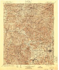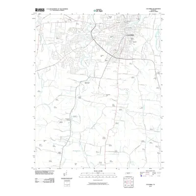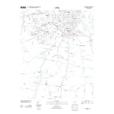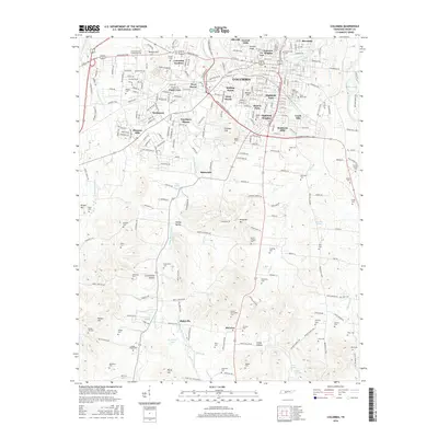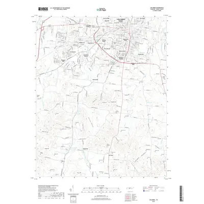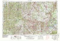
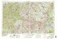
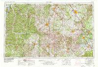
1956 Map of Columbia
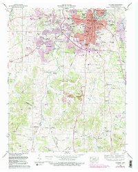
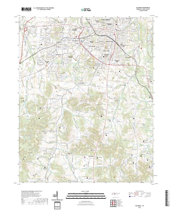
USGS Topo · Published 1984About this map
The Duck River and Buffalo River systems anchor this mid-century survey of Middle Tennessee, illustrating a region balanced between its agricultural roots and burgeoning cold-war era industrialization. The landscape is marked by significant federal and state investments, from the sprawling Arnold Air Force Station and its Arnold Engineering Development Center near Tullahoma, to the preservation of pioneer history along the Natchez Trace Parkway. Major regional hubs like Columbia, Murfreesboro, and Shelbyville are connected by a developing highway system, including Interstate 65, which cuts through the heart of the territory.
Find a feature on this map
51 named features on this map. Tap any name to fly to it.
Don’t see what you’re looking for? This feature index may not catch every label — zoom into the map to look around manually.
Map Details
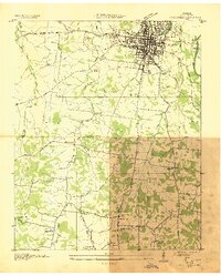
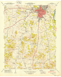
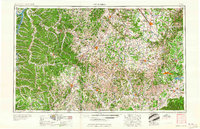
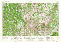
Editions of this 1956 Columbia Map
6 editions found

Historical Maps of Nashville Through Time
10 maps found