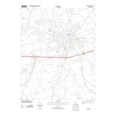
2010 Map of Lebanon
USGS Topo · Published 2010About this map
The city of Lebanon serves as the focal point of this 2010 survey, showcasing the urban expansion of this Wilson County hub. Notable institutional landmarks such as Cumberland University and the Lebanon Municipal Airport are central to the landscape, alongside recreational spaces like Hunters Point Golf Course. The terrain is defined by a network of drainage systems including Bartons Creek, Sinking Creek, and Walker Branch, which flow through a topography punctuated by Seay Hill and Fourmile Hill.
Find a feature on this map
71 named features on this map. Tap any name to fly to it.
Don’t see what you’re looking for? This feature index may not catch every label — zoom into the map to look around manually.
Map Details
Editions of this 2010 Lebanon Map
This is the sole edition of this map. No revisions or reprints were ever made.
Other maps of this area

1942 · Statesville
USGS Topo · 1:100,000

1942 · Gallatin
USGS Topo · 1:100,000

1942 · Lebanon
USGS Topo · 1:100,000

1951 · Lebanon
USGS Topo · 1:24,000

1951 · Martha
USGS Topo · 1:24,000

1955 · Laguardo
USGS Topo · 1:24,000

1955 · Hunters Point
USGS Topo · 1:24,000

1956 · Vine
USGS Topo · 1:24,000

1956 · Gladeville
USGS Topo · 1:24,000

1956 · Nashville
USGS Topo · 1:250,000