
1956 Map of Gladeville
USGS Topo · Published 1957About this map
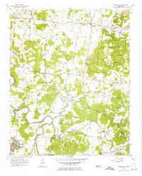
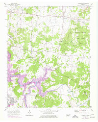
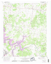
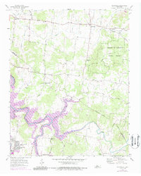
Cedars of Lebanon State Forest dominates the eastern portion of this Middle Tennessee landscape, its dense woodlands providing a sharp contrast to the surrounding agricultural patchwork. Near the western boundary, the expansive footprint of Stewart Air Force Base and the Stones River Homes housing area reflect the Cold War era's local military influence. The terrain is defined by the winding course of the Stones River and its numerous tributaries, including Fall Creek and Hurricane Creek, which have historically dictated the placement of small rural crossroads like Gladeville and Jefferson Springs. Local community life is evidenced by the distribution of country churches and schools, such as Fellowship Ch, Powells Chapel, and the John Colemon Sch. This survey also documents the transition from older routes like Couchville Pike and Stewart Pike to more modern infrastructure, while marking landmarks such as an Airway Beacon and a local Quarry.
Find a feature on this map
39 named features on this map. Tap any name to fly to it.
Don’t see what you’re looking for? This feature index may not catch every label — zoom into the map to look around manually.
Map Details
Editions of this 1956 Gladeville Map
5 editions found
Other maps of this area

1903 · Nashville
USGS Topo · 1:125,000

1916 · Murfreesboro
USGS Topo · 1:62,500

1932 · Hermitage
USGS Topo · 1:62,500

1942 · Lebanon
USGS Topo · 1:100,000

1950 · Walterhill
USGS Topo · 1:24,000

1951 · Lebanon
USGS Topo · 1:24,000

1951 · Martha
USGS Topo · 1:24,000

1952 · Hermitage
USGS Topo · 1:24,000

1952 · La Vergne
USGS Topo · 1:24,000

1956 · Vine
USGS Topo · 1:24,000