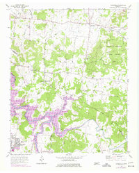
1956 Map of Gladeville
USGS Topo · Published 1977About this map
Gladeville serves as the focal point for this survey of the Tennessee landscape where Wilson and Rutherford counties meet. The area is defined by the significant presence of Percy Priest Lake and the meandering course of the Stones River. Revisions from the mid-1970s, shown in purple, highlight the development of the Sewart Air Force Base and residential growth at Stones River Homes. The map documents a rural network of churches and cemeteries that anchored the local community, such as Hamilton Chapel, Fellowship Ch, and Caraway Cem. To the east, the Cedars of Lebanon State Forest marks a significant protected area of cedar glades. This survey captures a moment of transition as the natural river system was managed for reservoir creation, impacting older settlements like Jefferson Springs and the surrounding farmland along Fall Creek.
Find a feature on this map
43 named features on this map. Tap any name to fly to it.
Don’t see what you’re looking for? This feature index may not catch every label — zoom into the map to look around manually.
Map Details
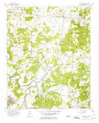
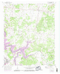
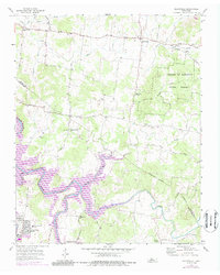
Editions of this 1956 Gladeville Map
5 editions found

Other maps of this area

1903 · Nashville
USGS Topo · 1:125,000

1916 · Murfreesboro
USGS Topo · 1:62,500

1932 · Hermitage
USGS Topo · 1:62,500

1942 · Lebanon
USGS Topo · 1:100,000

1950 · Walterhill
USGS Topo · 1:24,000

1951 · Lebanon
USGS Topo · 1:24,000

1951 · Martha
USGS Topo · 1:24,000

1952 · Hermitage
USGS Topo · 1:24,000

1952 · La Vergne
USGS Topo · 1:24,000

1956 · Vine
USGS Topo · 1:24,000