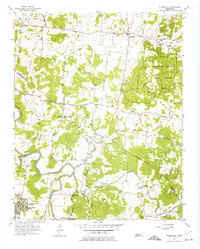
1956 Map of Gladeville
USGS Topo · Published 1975About this map
Cedars of Lebanon State Forest dominates the eastern upland, providing a stark contrast to the agricultural bottomlands along the Stones River and its meandering tributaries. In the mid-1950s, this landscape in Wilson and Rutherford Counties was characterized by a network of rural pikes like Stewart Ferry Pike and Couchville Pike, connecting small communities such as Gladeville, Rockdale, and Vesta. The presence of Sewart Air Force Base in the southwest corner indicates the growing strategic military footprint in middle Tennessee during the Cold War era.
Find a feature on this map
40 named features on this map. Tap any name to fly to it.
Don’t see what you’re looking for? This feature index may not catch every label — zoom into the map to look around manually.
Map Details
Editions of this 1956 Gladeville Map
5 editions found

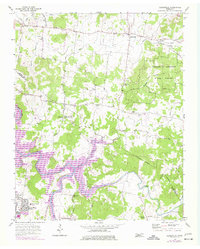
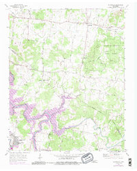
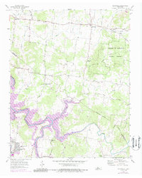
Other maps of this area

1903 · Nashville
USGS Topo · 1:125,000

1916 · Murfreesboro
USGS Topo · 1:62,500

1932 · Hermitage
USGS Topo · 1:62,500

1942 · Lebanon
USGS Topo · 1:100,000

1950 · Walterhill
USGS Topo · 1:24,000

1951 · Lebanon
USGS Topo · 1:24,000

1951 · Martha
USGS Topo · 1:24,000

1952 · Hermitage
USGS Topo · 1:24,000

1952 · La Vergne
USGS Topo · 1:24,000

1956 · Vine
USGS Topo · 1:24,000