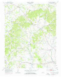
1953 Map of Cottontown
USGS Topo · Published 1977About this map
The hills of Sumner County are characterized here by a dense network of small family cemeteries and country churches, reflecting a deeply rooted rural community in the mid-20th century. Cottontown sits at the heart of this landscape, surrounded by named elevations like O'Ryan Knob and Kill Buck Knob. The settlement pattern follows the drainage of Station Camp Creek and its many tributaries, such as Pee Dee Creek and Liberty Branch.
Find a feature on this map
98 named features on this map. Tap any name to fly to it.
Don’t see what you’re looking for? This feature index may not catch every label — zoom into the map to look around manually.
Map Details
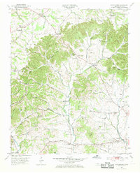
Editions of this 1953 Cottontown Map
3 editions found
Other maps of this area

1903 · Nashville
USGS Topo · 1:125,000

1931 · Adolphus
USGS Topo · 1:62,500

1942 · Gallatin
USGS Topo · 1:100,000

1952 · Goodlettsville
USGS Topo · 1:24,000

1952 · Hendersonville
USGS Topo · 1:24,000

1953 · Cottontown
USGS Topo · 1:24,000

1953 · Orlinda
USGS Topo · 1:24,000
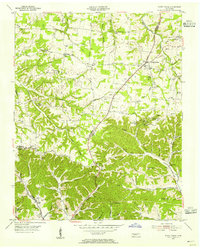
1954 · White House
USGS Topo · 1:24,000

1955 · Laguardo
USGS Topo · 1:24,000

1955 · Gallatin
USGS Topo · 1:24,000