
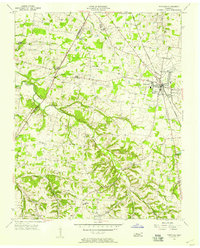
1955 Map of Gallatin
USGS Topo · Published 1956About this map
Gallatin serves as the focal point of this mid-1950s survey, showing the town's concentration of civic life around the Post Office and City Hall. The local infrastructure is deeply tied to the Louisville and Nashville railroad, which cuts through the landscape to the north via South Tunnel. This engineering feature highlights the transition between the rolling hills of the Highland Rim and the flatter terrain of the Central Basin.
Find a feature on this map
50 named features on this map. Tap any name to fly to it.
Don’t see what you’re looking for? This feature index may not catch every label — zoom into the map to look around manually.
Map Details
Editions of this 1955 Gallatin Map
5 editions found
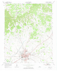
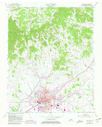
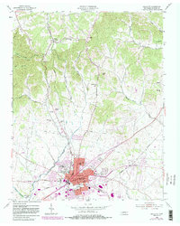
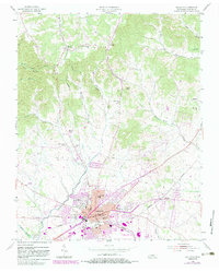
Other maps of this area

1903 · Nashville
USGS Topo · 1:125,000

1931 · Adolphus
USGS Topo · 1:62,500

1942 · Gallatin
USGS Topo · 1:100,000

1952 · Hendersonville
USGS Topo · 1:24,000

1953 · Cottontown
USGS Topo · 1:24,000

1955 · Bethpage
USGS Topo · 1:24,000

1955 · Laguardo
USGS Topo · 1:24,000

1955 · Hunters Point
USGS Topo · 1:24,000
1956 · Portland
USGS Topo · 1:24,000

1956 · Nashville
USGS Topo · 1:250,000