
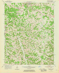
1954 Map of Petroleum
USGS Topo · Published 1955About this map
The Louisville and Nashville railroad tracks cut a diagonal path across this 1950s landscape, connecting the county seat of Scottsville with the namesake settlement of Petroleum. This mid-century survey reveals an economy deeply tied to the land, dotted with numerous active Oil Wells concentrated near Rodemer and along the banks of Trammel Fork. The terrain is defined by a dense network of hollows and creeks, including Florida Creek and Rough Creek, which dictate the placement of rural homesteads and family cemeteries.
Find a feature on this map
52 named features on this map. Tap any name to fly to it.
Don’t see what you’re looking for? This feature index may not catch every label — zoom into the map to look around manually.
Map Details
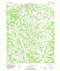
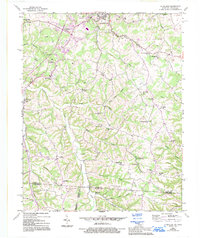
Editions of this 1954 Petroleum Map
4 editions found
Other maps of this area

1921 · Bowling Green
USGS Topo · 1:62,500

1923 · Bowling Green
USGS Topo · 1:62,500

1926 · Scottsville
USGS Topo · 1:62,500

1928 · Adolphus
USGS Topo · 1:48,000

1931 · Lafayette
USGS Topo · 1:62,500

1931 · Adolphus
USGS Topo · 1:62,500

1942 · Gallatin
USGS Topo · 1:100,000

1954 · Austin
USGS Topo · 1:24,000

1954 · Scottsville
USGS Topo · 1:24,000

1954 · Holland
USGS Topo · 1:24,000