
1954 Map of Scottsville
USGS Topo · Published 1955About this map
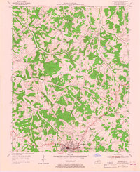
Scottsville serves as the focal point for this mid-century look at Allen County, revealing a landscape defined by an extensive network of petroleum extraction and small rural congregations. The topography is dotted with numerous Oil Wells and a Quarry, illustrating a local economy deeply tied to the land's natural resources. Beyond the industry, the community structure is preserved through scattered rural schools like Washington Sch and Sinking Spring Sch, along with several namesake churches including Greenville Ch and Clifton Ch. Drainage patterns are clearly marked by the forks of Bays Fork and the winding course of Difficult Creek, which shape the hilly terrain surrounding small settlements such as Settle and Gainesville. The mapping captures the balance between 1950s infrastructure development and established rural traditions.
Find a feature on this map
29 named features on this map. Tap any name to fly to it.
Don’t see what you’re looking for? This feature index may not catch every label — zoom into the map to look around manually.
Map Details
Editions of this 1954 Scottsville Map
4 editions found
Other maps of this area

1921 · Bowling Green
USGS Topo · 1:62,500

1923 · Bowling Green
USGS Topo · 1:62,500

1926 · Scottsville
USGS Topo · 1:62,500

1928 · Adolphus
USGS Topo · 1:48,000

1931 · Lafayette
USGS Topo · 1:62,500

1931 · Adolphus
USGS Topo · 1:62,500

1942 · Gallatin
USGS Topo · 1:100,000

1954 · Austin
USGS Topo · 1:24,000

1954 · Petroleum
USGS Topo · 1:24,000
1954 · Polkville
USGS Topo · 1:24,000