
1931 Map of Red Boiling Springs
USGS Topo · Published 1931About this map
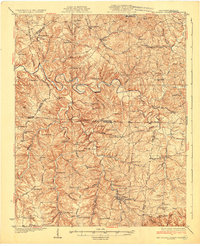
Red Boiling Springs and the surrounding hill country along the Kentucky Tennessee line appear here as they were surveyed in the late 1920s. This landscape is defined by the winding Barren River and a dense network of rural infrastructure, where nearly every ridge and hollow supported a namesake school or house of worship. The distribution of Wood Sch, New Design Sch, and Alexander Sch across the uplands reflects a period of decentralized community life before the consolidation of rural districts. Small commercial and social hubs like Roarks Store and Winkler Crossroads served the farming families of Macon Co and Allen Co. In the south, the resort character of the springs is balanced by the natural curiosity of Leonard Cave and the quiet reaches of Line Creek.
Find a feature on this map
87 named features on this map. Tap any name to fly to it.
Don’t see what you’re looking for? This feature index may not catch every label — zoom into the map to look around manually.
Map Details
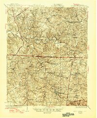
Editions of this 1931 Red Boiling Springs Map
3 editions found
Other maps of this area

1925 · Gainesboro
USGS Topo · 1:62,500

1926 · Scottsville
USGS Topo · 1:62,500

1929 · Gainesboro
USGS Topo · 1:62,500

1929 · Tompkinsville
USGS Topo · 1:62,500

1931 · Lafayette
USGS Topo · 1:62,500

1932 · Carthage
USGS Topo · 1:62,500

1953 · Tracy
USGS Topo · 1:24,000

1953 · Sulphur Lick
USGS Topo · 1:24,000

1953 · Freedom
USGS Topo · 1:24,000

1954 · Austin
USGS Topo · 1:24,000