Loading...
Loading map...1931 Map of Red Boiling Springs
USGS Topo · Published 1945About this map
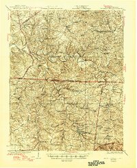
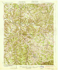
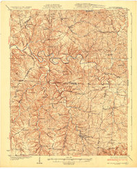
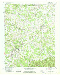
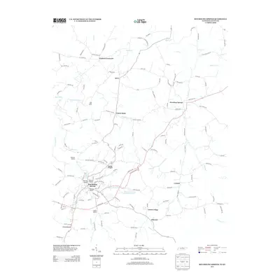
The Barren River snakes across this 1920s survey, marking a deeply dissected landscape along the Kentucky and Tennessee border. At the heart of the southern half, Red Boiling Springs serves as a primary hub, surrounded by a dense network of rural schools and houses of worship that supported these highland communities before modern consolidation. The map captures an era of intricate local commerce and social life, evidenced by landmarks like Rosses Store and the remote Hermitage Springs PO.
Find a feature on this map
76 named features on this map. Tap any name to fly to it.
Don’t see what you’re looking for? This feature index may not catch every label — zoom into the map to look around manually.
Map Details
Date Portrayed1931
Date Published1945
PublisherU.S. Geological Survey
Map TypeTopographic
Scale1:62,500
Physical Dimensions17.02 x 20.85 inches
Editions of this 1931 Red Boiling Springs Map
3 editions found
Historical Maps of Lafayette Through Time
7 maps found

Featured Locations
Source Details
SourceU.S. Geological Survey
CopyrightPublic Domain