
1953 Map of Sulphur Lick
USGS Topo · Published 1954About this map
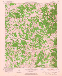
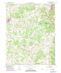
Sulphur Lick and the surrounding rural communities of Monroe County sit within a landscape deeply carved by the Barren River and its numerous tributaries. In the early 1950s, this area was defined by a dense network of one-room schoolhouses and country churches, such as Goodson Sch, Willow Springs Sch, and Red Hill Ch, serving dispersed farming families. The topography is notably rugged for the region, characterized by numerous hollows like Piercy Hollow and Shop Hollow, and distinct subterranean features including Miller Cave. The intersection of small-scale commerce and community life is visible in settlements like Merryville and Rockbridge, which sit along the winding valley roads. Notable landmarks like the Relay Radio Tower and various family cemeteries, including Wade Cem and Dubre Cem, provide specific points of interest for those tracing the social geography and family lineage of mid-century Kentucky.
Find a feature on this map
44 named features on this map. Tap any name to fly to it.
Don’t see what you’re looking for? This feature index may not catch every label — zoom into the map to look around manually.
Map Details
Editions of this 1953 Sulphur Lick Map
Other maps of this area

1929 · Tompkinsville
USGS Topo · 1:62,500

1931 · Red Boiling Springs
USGS Topo · 1:62,500

1953 · Temple Hill
USGS Topo · 1:24,000

1953 · Freedom
USGS Topo · 1:24,000

1953 · Edmonton
USGS Topo · 1:24,000

1953 · Summer Shade
USGS Topo · 1:24,000

1953 · Dubre
USGS Topo · 1:24,000

1954 · Gamaliel
USGS Topo · 1:24,000

1954 · Tompkinsville
USGS Topo · 1:24,000
1954 · Vernon
USGS Topo · 1:24,000