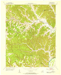
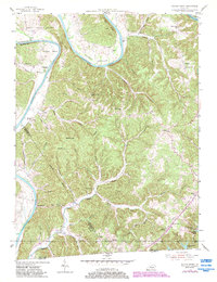
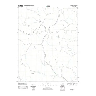
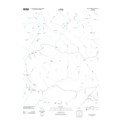
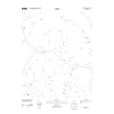
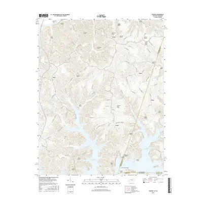
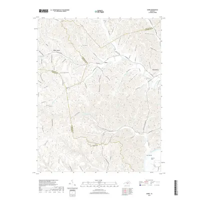
1953 Map of Dubre
USGS Topo · Published 1955About this map
Marrowbone Creek and its many winding tributaries carve through the heart of this rural Kentucky landscape, defining the character of small settlements like Dubre and Willow Shade. The terrain is marked by a series of narrow ridges and hollows, where life in the early 1950s centered around local institutions such as Pitman Sch and Marrowbone Ch. The map captures a pre-modern infrastructure of unpaved roads and numerous benchmark points, suggesting a community still deeply connected to its physical geography.
Find a feature on this map
86 named features on this map. Tap any name to fly to it.
Don’t see what you’re looking for? This feature index may not catch every label — zoom into the map to look around manually.
Map Details
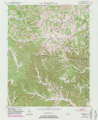
Editions of this 1953 Dubre Map
2 editions found
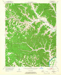
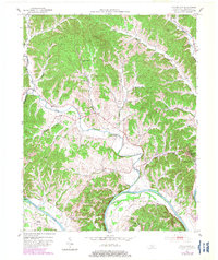
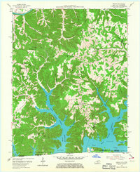
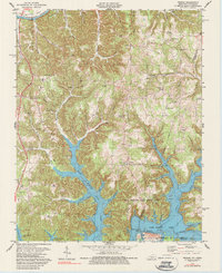
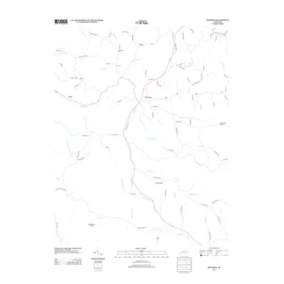
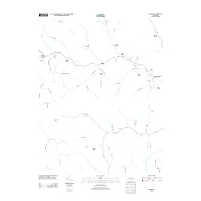
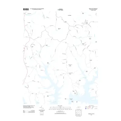
Historical Maps of Marrowbone Through Time
31 maps found
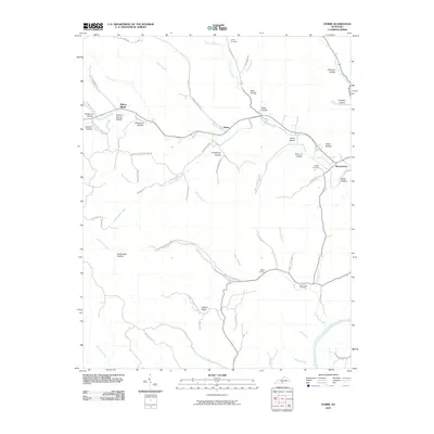
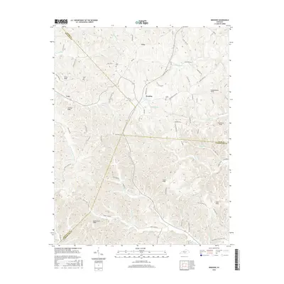
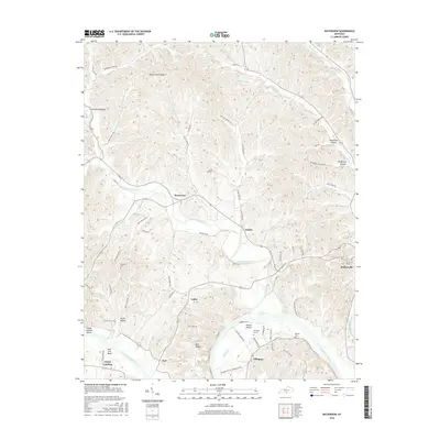
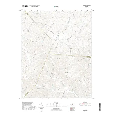
1953 Breeding
Cumberland County, KY
1953 Dubre
Cumberland County, KY
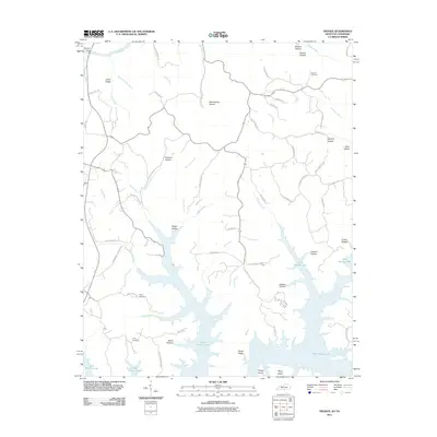
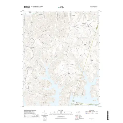
1953 Waterview
Cumberland County, KY
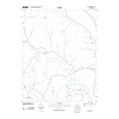
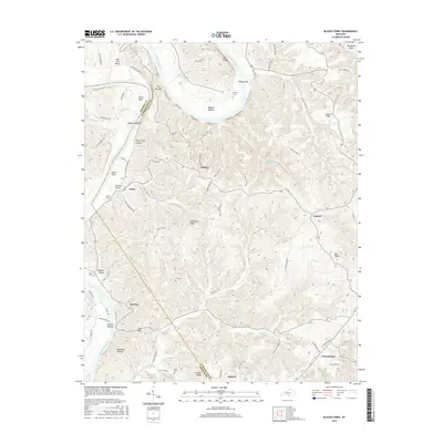
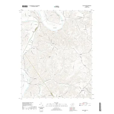
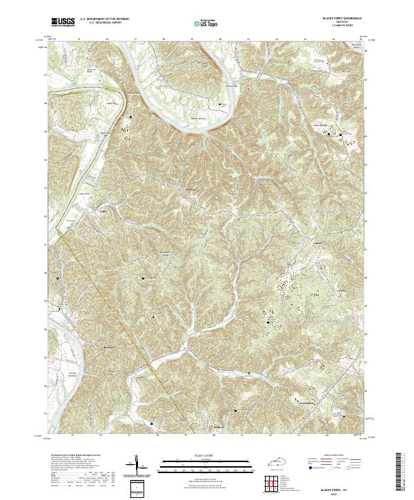
1954 Blacks Ferry
Cumberland County, KY
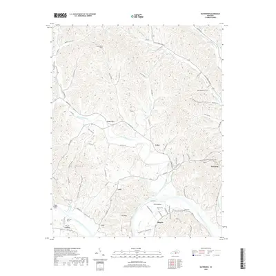
1954 Frogue
Cumberland County, KY
1978 Frogue
Cumberland County, KY
2010 Blacks Ferry
Cumberland County, KY
2010 Breeding
Cumberland County, KY
2010 Dubre
Cumberland County, KY
2010 Waterview
Cumberland County, KY
2011 Frogue
Cumberland County, KY
2013 Blacks Ferry
Cumberland County, KY
2013 Breeding
Cumberland County, KY
2013 Dubre
Cumberland County, KY
2013 Frogue
Cumberland County, KY
2013 Waterview
Cumberland County, KY
2016 Blacks Ferry
Cumberland County, KY
2016 Breeding
Cumberland County, KY
2016 Dubre
Cumberland County, KY
2016 Frogue
Cumberland County, KY
2016 Waterview
Cumberland County, KY
2019 Blacks Ferry
Cumberland County, KY
2019 Breeding
Cumberland County, KY
2019 Dubre
Cumberland County, KY
2019 Frogue
Cumberland County, KY
2019 Waterview
Cumberland County, KY
2022 Blacks Ferry
Cumberland County, KY
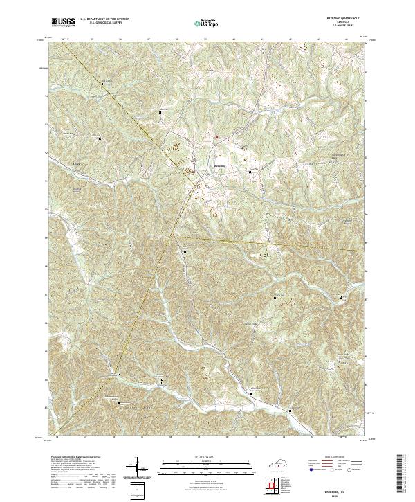
2022 Breeding
Cumberland County, KY
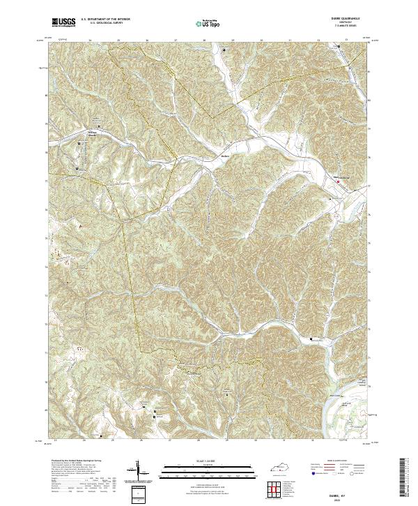
2022 Dubre
Cumberland County, KY
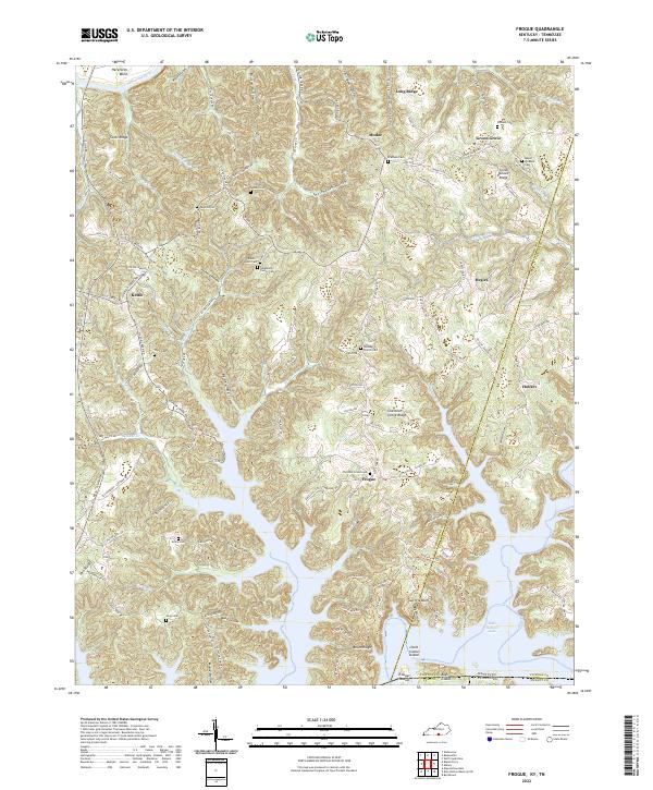
2022 Frogue
Cumberland County, KY
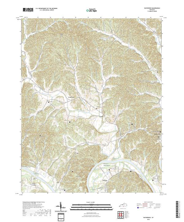
2022 Waterview
Cumberland County, KY