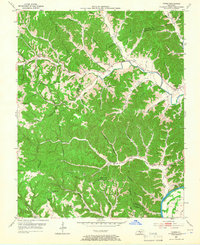
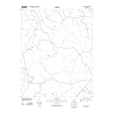
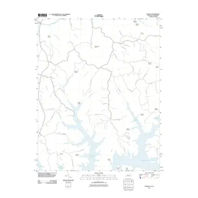
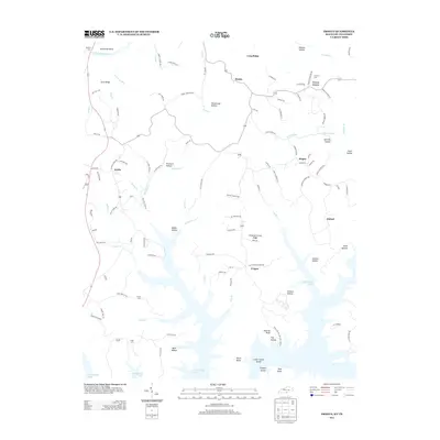
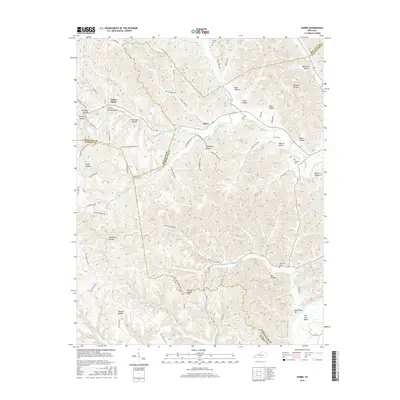
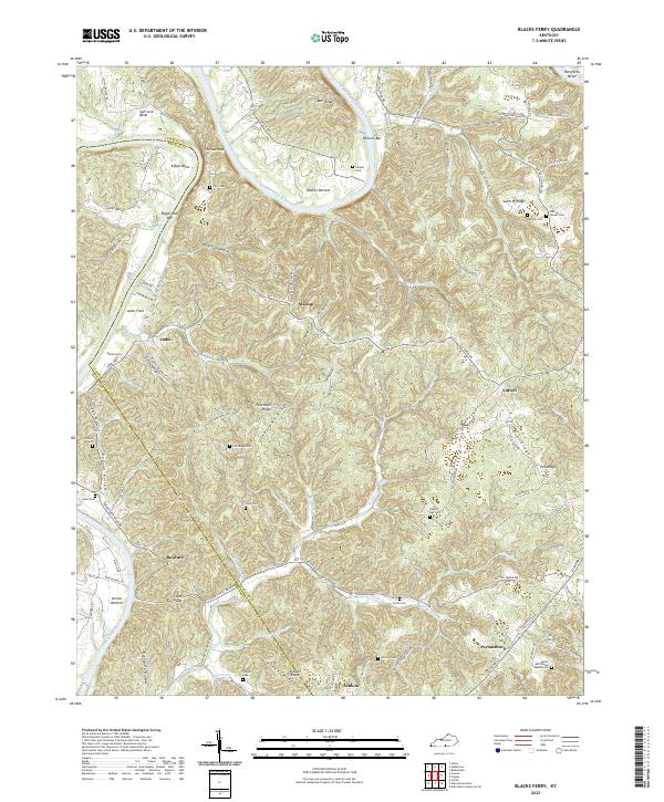
1954 Map of Blacks Ferry
USGS Topo · Published 1983About this map
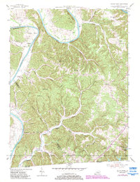
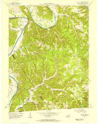
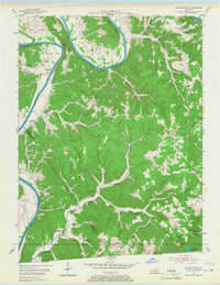
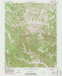
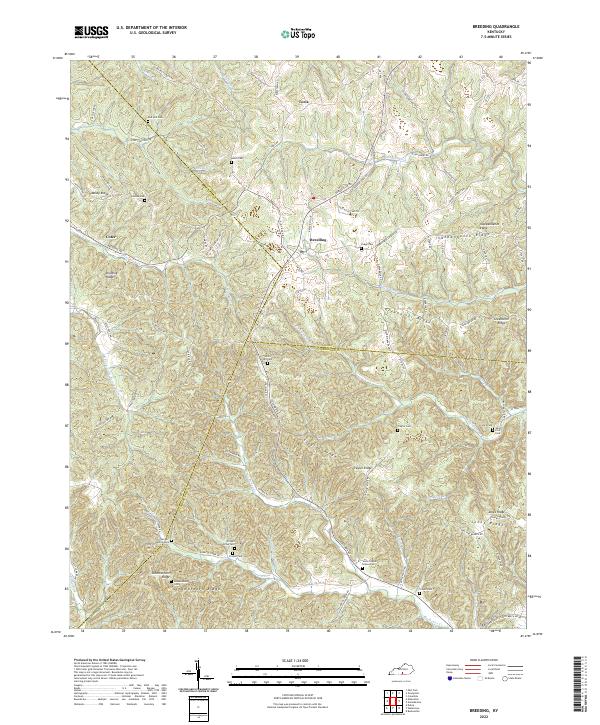
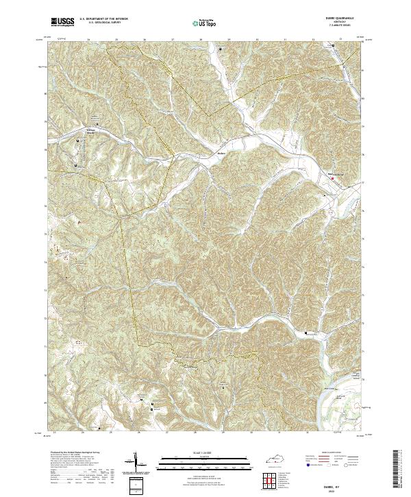
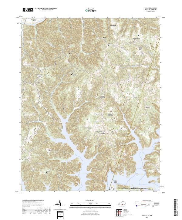
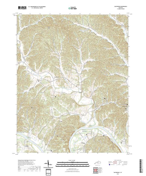
The Cumberland River defines the landscape of this Kentucky-Tennessee border region, carving dramatic horseshoe loops like Salt Lick Bend and Elbow Bend. Settlement patterns in the mid-1950s followed the intricate network of ridges and hollows, with small communities such as Martinsburg and Zeketown serving as local hubs. This topography is characterized by many small country schools, including Stalcup Sch, Coe Sch, and Xerxes Sch, many of which were located at remote ridge junctions or near the river bottomlands.
Find a feature on this map
52 named features on this map. Tap any name to fly to it.
Don’t see what you’re looking for? This feature index may not catch every label — zoom into the map to look around manually.
Map Details
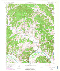
Editions of this 1954 Blacks Ferry Map
3 editions found
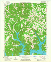
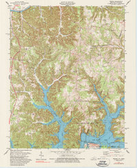
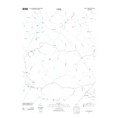
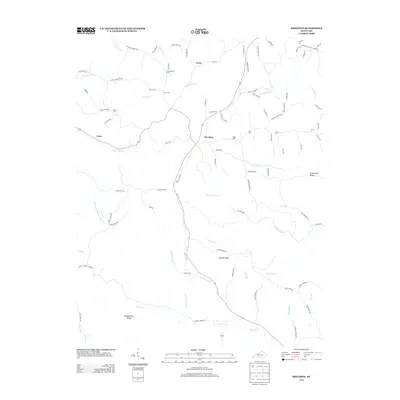
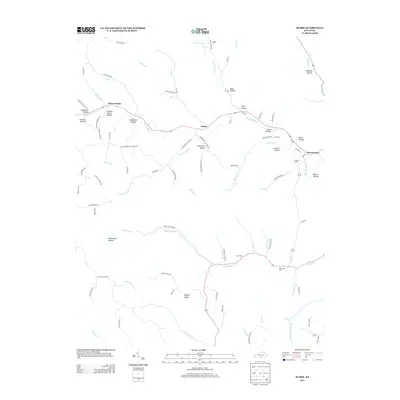
Historical Maps of Tanbark Through Time
31 maps found
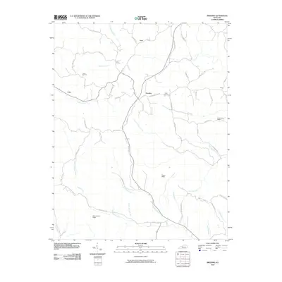
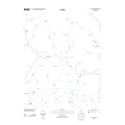
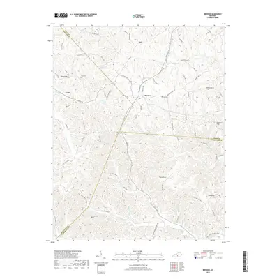
1953 Breeding
Cumberland County, KY
1953 Dubre
Cumberland County, KY
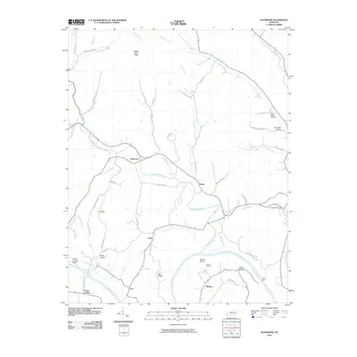
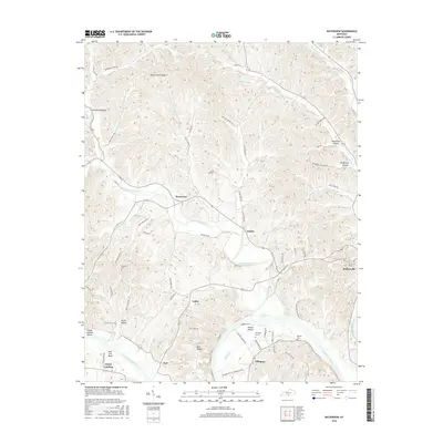
1953 Waterview
Cumberland County, KY
1954 Blacks Ferry
Cumberland County, KY
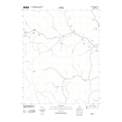
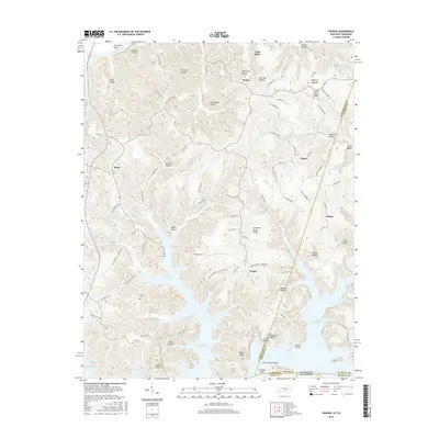
1954 Frogue
Cumberland County, KY
1978 Frogue
Cumberland County, KY
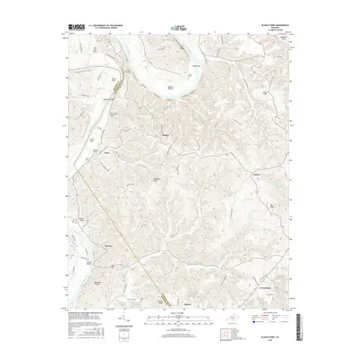
2010 Blacks Ferry
Cumberland County, KY
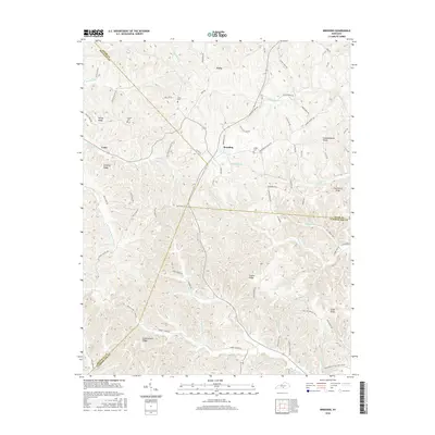
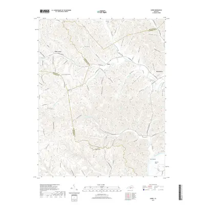
2010 Breeding
Cumberland County, KY
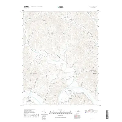
2010 Dubre
Cumberland County, KY
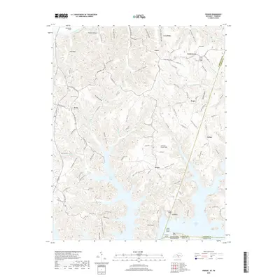
2010 Waterview
Cumberland County, KY
2011 Frogue
Cumberland County, KY
2013 Blacks Ferry
Cumberland County, KY
2013 Breeding
Cumberland County, KY
2013 Dubre
Cumberland County, KY
2013 Frogue
Cumberland County, KY
2013 Waterview
Cumberland County, KY
2016 Blacks Ferry
Cumberland County, KY
2016 Breeding
Cumberland County, KY
2016 Dubre
Cumberland County, KY
2016 Frogue
Cumberland County, KY
2016 Waterview
Cumberland County, KY

2019 Blacks Ferry
Cumberland County, KY
2019 Breeding
Cumberland County, KY
2019 Dubre
Cumberland County, KY
2019 Frogue
Cumberland County, KY
2019 Waterview
Cumberland County, KY
2022 Blacks Ferry
Cumberland County, KY
2022 Breeding
Cumberland County, KY
2022 Dubre
Cumberland County, KY
2022 Frogue
Cumberland County, KY
2022 Waterview
Cumberland County, KY