
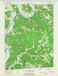
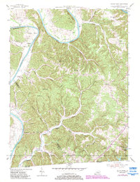
1954 Map of Blacks Ferry
USGS Topo · Published 1955About this map
The Cumberland River dominates this mid-century landscape as it winds through dramatic loops like Salt Lick Bend and Elbow Bend along the Cumberland and Monroe county line. This 1954 field check captures a rural river economy and upland ridge communities in the years before significant modern development. The namesake Blacks Ferry and the nearby Martinsburg settlement mark historic river crossings, while the interior is dotted with one-room schoolhouses and country churches that served as the backbone of local social life.
Find a feature on this map
66 named features on this map. Tap any name to fly to it.
Don’t see what you’re looking for? This feature index may not catch every label — zoom into the map to look around manually.
Map Details
Editions of this 1954 Blacks Ferry Map
3 editions found
Other maps of this area

1924 · Lillydale
USGS Topo · 1:62,500

1926 · Lillydale
USGS Topo · 1:62,500

1929 · Lillydale
USGS Topo · 1:62,500

1929 · Tompkinsville
USGS Topo · 1:62,500

1953 · Waterview
USGS Topo · 1:24,000

1953 · Burkesville
USGS Topo · 1:24,000

1953 · Dubre
USGS Topo · 1:24,000

1954 · Frogue
USGS Topo · 1:24,000
1954 · Vernon
USGS Topo · 1:24,000

1956 · Corbin
USGS Topo · 1:250,000