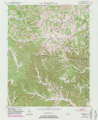
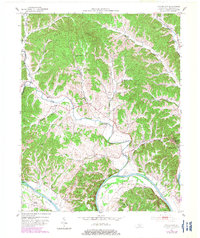
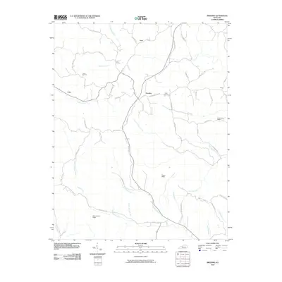
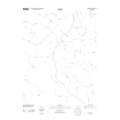
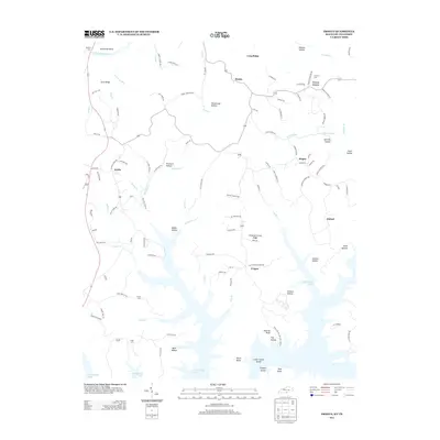
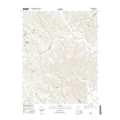
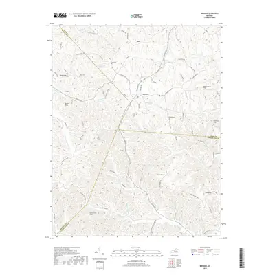
1953 Map of Breeding
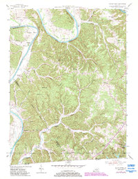
USGS Topo · Published 1983About this map
The community of Breeding serves as the focal point of this rural Kentucky landscape where Adair, Cumberland, and Metcalfe counties meet. Surveyed in the early 1950s and updated in the 1980s, the terrain is defined by a dense network of ridges such as Mosby Ridge and Divide Ridge that separate numerous creek valleys. The settlement pattern reflects a traditional upland South agricultural society, with small social centers like Toria and scattered rural institutions including the United Brethren Ch and several local schools like Red Lick Sch and Flat Rock Sch.
Find a feature on this map
40 named features on this map. Tap any name to fly to it.
Don’t see what you’re looking for? This feature index may not catch every label — zoom into the map to look around manually.
Map Details
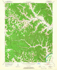
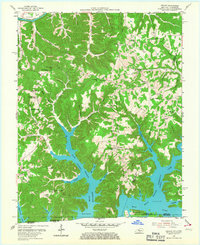
Editions of this 1953 Breeding Map
3 editions found
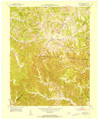
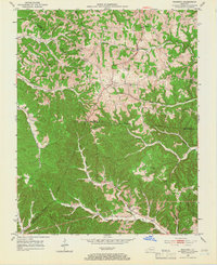
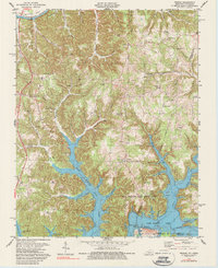
Historical Maps of Breeding Through Time
31 maps found
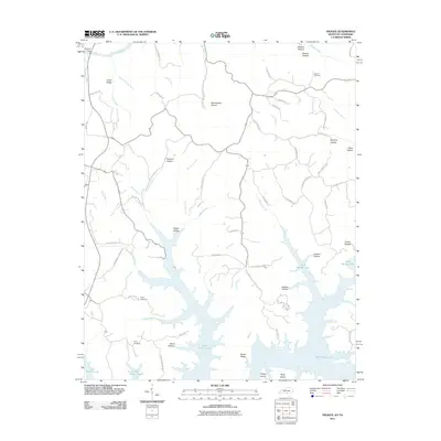
1953 Breeding
Cumberland County, KY
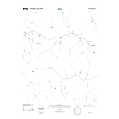
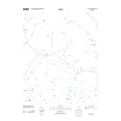
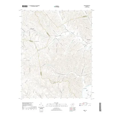
1953 Dubre
Cumberland County, KY
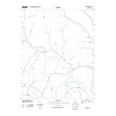
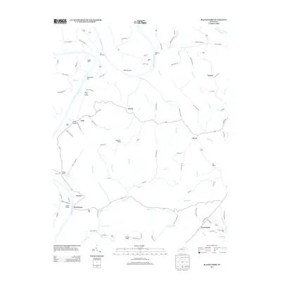
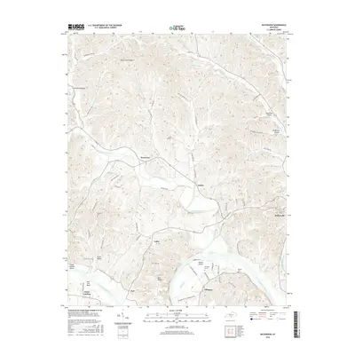
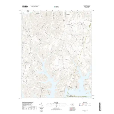
1953 Waterview
Cumberland County, KY
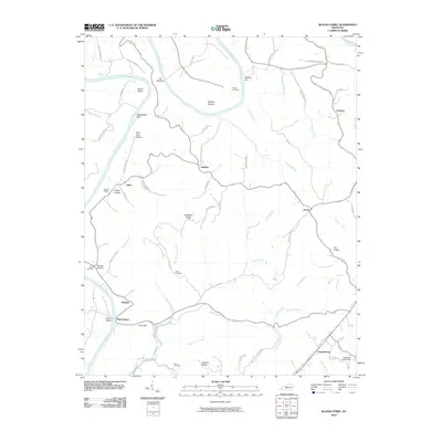
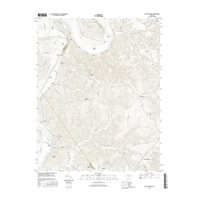
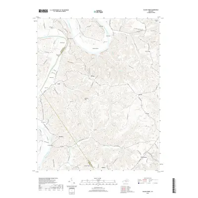
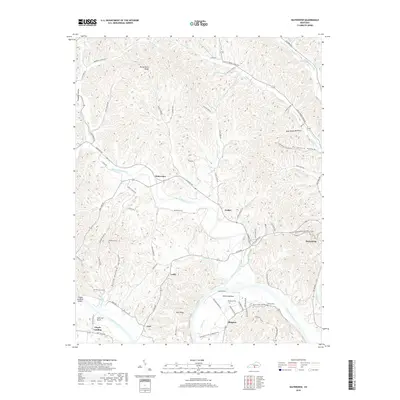
1954 Blacks Ferry
Cumberland County, KY
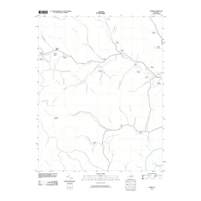
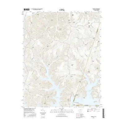
1954 Frogue
Cumberland County, KY
1978 Frogue
Cumberland County, KY
2010 Blacks Ferry
Cumberland County, KY
2010 Breeding
Cumberland County, KY
2010 Dubre
Cumberland County, KY
2010 Waterview
Cumberland County, KY
2011 Frogue
Cumberland County, KY
2013 Blacks Ferry
Cumberland County, KY
2013 Breeding
Cumberland County, KY
2013 Dubre
Cumberland County, KY
2013 Frogue
Cumberland County, KY
2013 Waterview
Cumberland County, KY
2016 Blacks Ferry
Cumberland County, KY
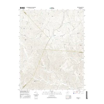
2016 Breeding
Cumberland County, KY
2016 Dubre
Cumberland County, KY
2016 Frogue
Cumberland County, KY
2016 Waterview
Cumberland County, KY
2019 Blacks Ferry
Cumberland County, KY
2019 Breeding
Cumberland County, KY
2019 Dubre
Cumberland County, KY
2019 Frogue
Cumberland County, KY
2019 Waterview
Cumberland County, KY
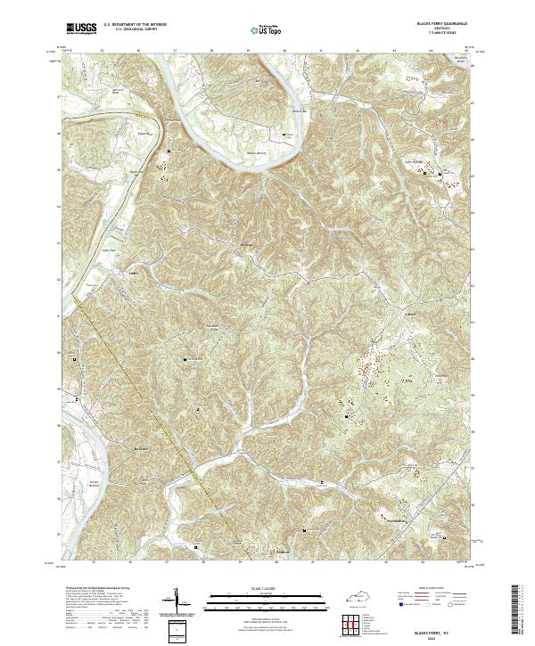
2022 Blacks Ferry
Cumberland County, KY
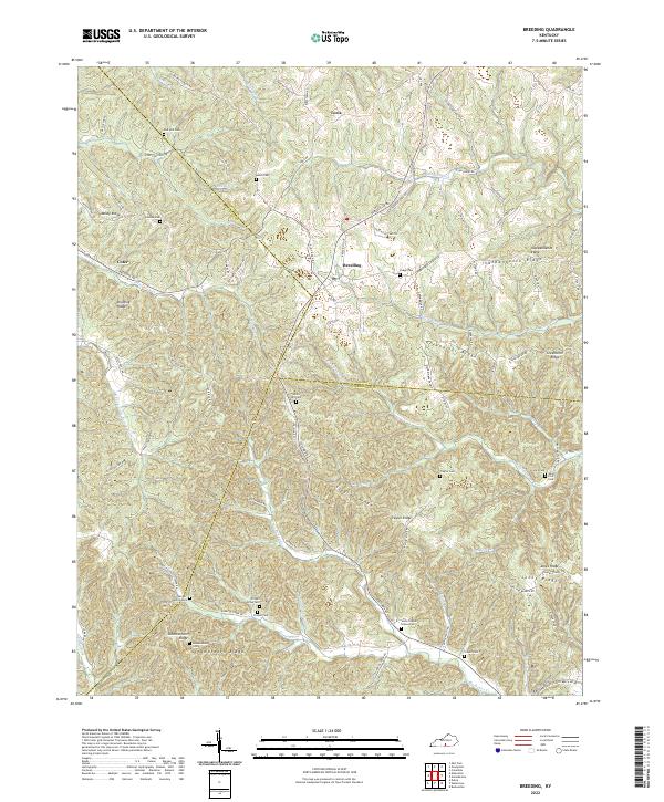
2022 Breeding
Cumberland County, KY
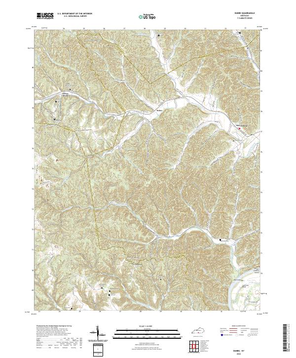
2022 Dubre
Cumberland County, KY
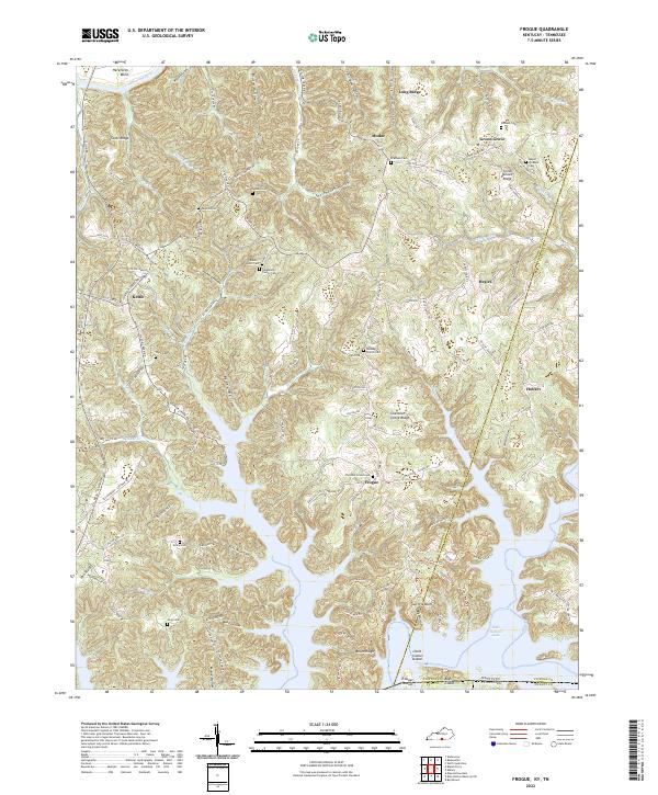
2022 Frogue
Cumberland County, KY
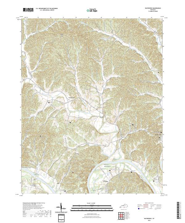
2022 Waterview
Cumberland County, KY