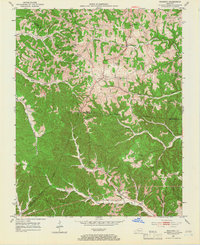
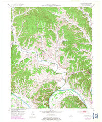
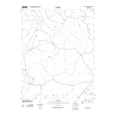
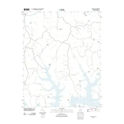
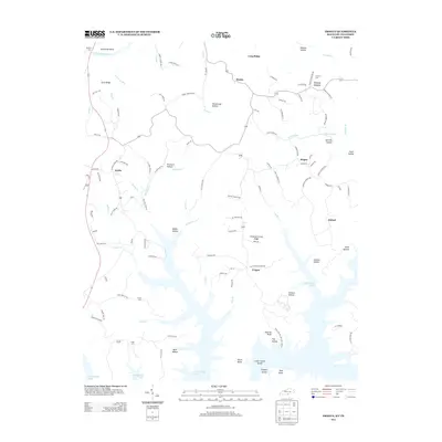
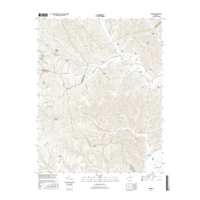
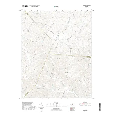
1953 Map of Breeding
USGS Topo · Published 1966About this map
Breeding serves as the central hub of this mid-century rural landscape, situated where the borders of Adair, Cumberland, and Metcalfe counties meet. The area is defined by a dense network of one-room schools and community churches, reflecting the localized social structure of the early 1950s. Along the winding valleys of the Little Barren River and Big Renox Creek, small clusters of activity like Toria and Rowetown mark the intersections of country roads. Geographic landmarks such as Saltpeter Cave and Mud Lick Cave punctuate the dissected plateau, while institutions like the United Brethren Ch and Jones Chapel Sch provide clear markers for genealogists and local historians tracing family homesteads. The terrain transitions from the higher elevations of Mosby Ridge down into the narrow branches of Crocus Creek, illustrating the traditional ridge-and-hollow settlement patterns characteristic of the Kentucky Pennyroyal region before significant modern development altered the road networks.
Find a feature on this map
43 named features on this map. Tap any name to fly to it.
Don’t see what you’re looking for? This feature index may not catch every label — zoom into the map to look around manually.
Map Details
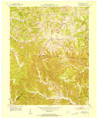
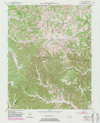
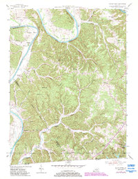
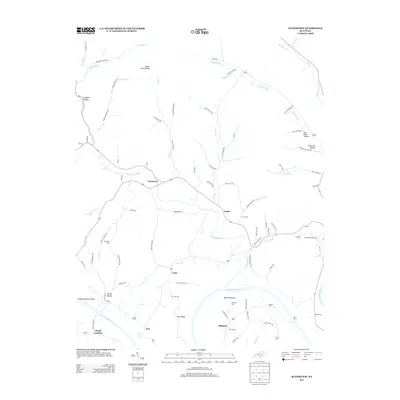
Editions of this 1953 Breeding Map
3 editions found
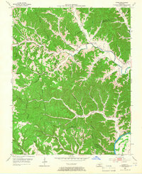
Historical Maps of Breeding Through Time
31 maps found
1953 Breeding
Cumberland County, KY
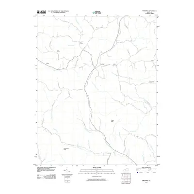
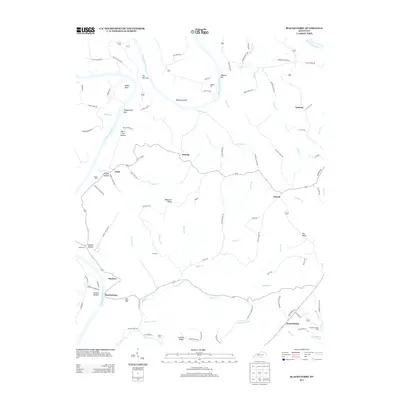
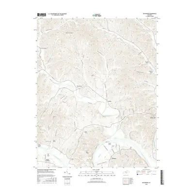
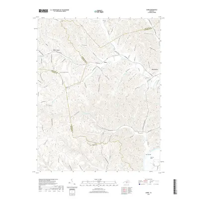
1953 Dubre
Cumberland County, KY
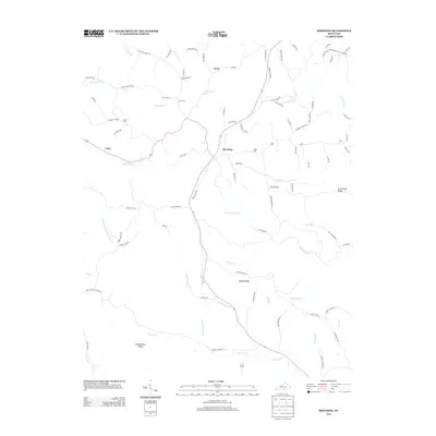
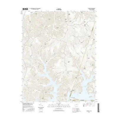
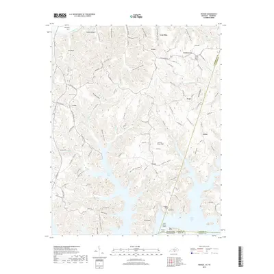
1953 Waterview
Cumberland County, KY
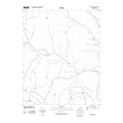
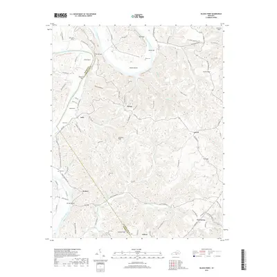
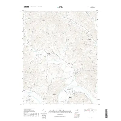
1954 Blacks Ferry
Cumberland County, KY
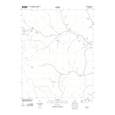
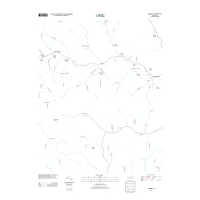
1954 Frogue
Cumberland County, KY
1978 Frogue
Cumberland County, KY
2010 Blacks Ferry
Cumberland County, KY
2010 Breeding
Cumberland County, KY
2010 Dubre
Cumberland County, KY
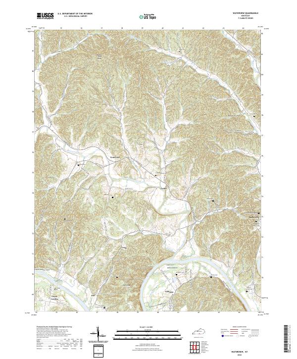
2010 Waterview
Cumberland County, KY
2011 Frogue
Cumberland County, KY
2013 Blacks Ferry
Cumberland County, KY
2013 Breeding
Cumberland County, KY
2013 Dubre
Cumberland County, KY
2013 Frogue
Cumberland County, KY
2013 Waterview
Cumberland County, KY
2016 Blacks Ferry
Cumberland County, KY
2016 Breeding
Cumberland County, KY
2016 Dubre
Cumberland County, KY
2016 Frogue
Cumberland County, KY
2016 Waterview
Cumberland County, KY
2019 Blacks Ferry
Cumberland County, KY
2019 Breeding
Cumberland County, KY
2019 Dubre
Cumberland County, KY
2019 Frogue
Cumberland County, KY
2019 Waterview
Cumberland County, KY
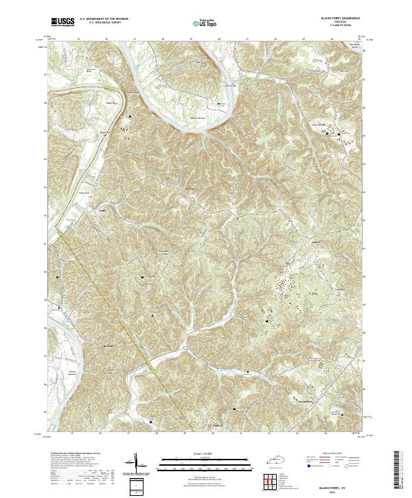
2022 Blacks Ferry
Cumberland County, KY
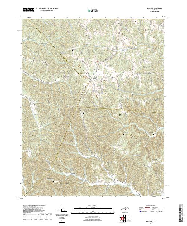
2022 Breeding
Cumberland County, KY
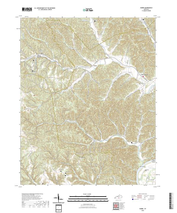
2022 Dubre
Cumberland County, KY
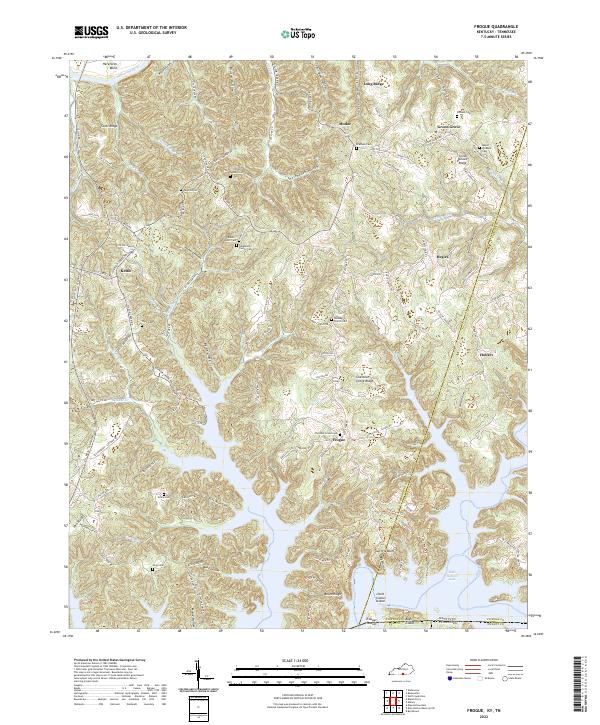
2022 Frogue
Cumberland County, KY
2022 Waterview
Cumberland County, KY