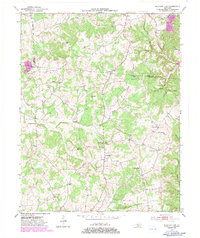
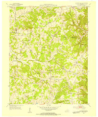
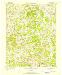
1953 Map of Sulphur Lick
USGS Topo · Published 1983About this map
The hills of Monroe and Metcalfe counties are deeply etched by the East Fork Barren River and Skaggs Creek, creating a landscape defined by hollows and isolated ridges. This rural Kentucky community, as it appeared in the mid-20th century, is anchored by small settlements like Sulphur Lick and Rockbridge. The social fabric of the era is evident in the high density of neighborhood schools and churches, such as Union Hill Sch, Hamilton Sch, and Philippi Ch.
Find a feature on this map
48 named features on this map. Tap any name to fly to it.
Don’t see what you’re looking for? This feature index may not catch every label — zoom into the map to look around manually.
Map Details
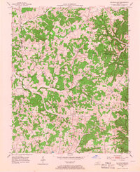
Editions of this 1953 Sulphur Lick Map
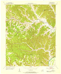
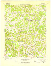
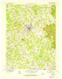
Other maps of this area
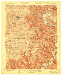
1929 · Tompkinsville
USGS Topo · 1:62,500
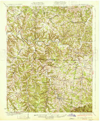
1931 · Red Boiling Springs
USGS Topo · 1:62,500
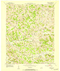
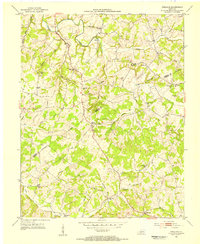
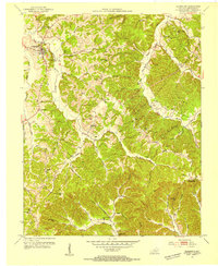
1953 · Sulphur Lick
USGS Topo · 1:24,000
1953 · Temple Hill
USGS Topo · 1:24,000
1953 · Freedom
USGS Topo · 1:24,000
1953 · Edmonton
USGS Topo · 1:24,000
1953 · Summer Shade
USGS Topo · 1:24,000
1953 · Dubre
USGS Topo · 1:24,000
1954 · Gamaliel
USGS Topo · 1:24,000
1954 · Tompkinsville
USGS Topo · 1:24,000