Old Maps of Arjay, Kentucky
Explore 16 old maps of Arjay, spanning from 1886 to today. These high-resolution historic maps reveal how streets, neighborhoods, landmarks, and natural features evolved over time — perfect for genealogy, metal detecting, research, and local history exploration.
What you can do with these maps:
- See how Arjay changed over time: Compare historical maps to modern-day views to trace roads, homesites, rail lines & more.
- View detailed metadata: Each map includes creators, publishers, year, scale, and archive source.
- Overlay maps with satellite & LiDAR: Visualize the past alongside modern tools to explore terrain & human change.
- Trusted historical sources: Maps sourced from the USGS, Library of Congress, and other archives.
- Access maps your way: View online, download high-res files, or order prints for personal or research use.
Start exploring old maps of Arjay to uncover forgotten places, hidden landmarks, and the deep history beneath your feet.
Arjay, KY maps
(16)- 1886 Map of Cumberland Gap
 1886 Cumberland Gap1886 Print · USGSThe tri-state border region around the Cumberland Gap appears here in the 1880s, before modern development transformed these mountain passes. Genealogists and historians can trace early river crossings and settlements like Flat Lick, Tye Ferry, and Campbell Ford.
 - 1888 Map of Cumberland Gap
 1888 Cumberland Gap1888 Print · USGSThe tri-state wilderness of the Appalachians is captured in the late 1880s, centered on the strategic crossing at the Cumberland Gap. Trace the early river-and-road economy through features like Tye's Ferry, McHenry Ford, and the old town sites of Barboursville and Pineville.
 - 1891 Map of Cumberland Gap
 1891 Cumberland Gap1891 Print · USGSThe tri-state mountain corridor appears here in the late nineteenth century, showing the critical gateways through the Cumberland Mountains. Researchers can trace early river crossings like Mshenry Ford and historic settlements such as Barboursville and Pineville.7 unique versions available
 - 1903 Map of Pineville
 1903 Pineville1903 Print · USGSThe Cumberland Gap region in the early 1900s was a landscape defined by its formidable ridges and vital river passages. Trace the steep ascent of Cumberland Mountain and the winding course of the Cumberland River as they appeared over a century ago.
 - 1954 Map of Pineville, 1956 Print
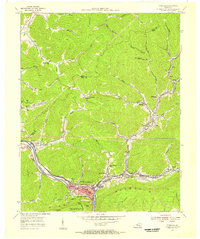 1954 Pineville1956 Print · USGSBell County in the mid-fifties shows a landscape shaped by coal and the Cumberland River. Genealogists and historians can trace rail-side settlements like Wallsend, Arjay, and Fourmile, alongside local landmarks like Chain Rock and the Lone Jack Sch.2 unique versions available
 - 1955 Map of Johnson City
 1955 Johnson City1955 Print · USGSEast Tennessee and the bordering highlands of Virginia and Kentucky appear here during the post-war industrial boom. You can trace the complex network of mountain ridges and new TVA lakes, from Johnson City to the coalfields near Middlesboro and Lynch.
 - 1957 Map of Johnson City, 1966 Print
 1957 Johnson City1966 Print · USGSUpper East Tennessee and Southwest Virginia are shown here during the mid-sixties transition of the Appalachians. Researchers can trace the industrial rail hubs of Kingsport, the sprawling waters of Cherokee Lake, and the historic Cumberland Gap.
 - 1960 Map of Johnson City
 1960 Johnson City1960 Print · USGSUpper East Tennessee and the surrounding tri-state area are shown in the mid-fifties during the height of the TVA reservoir era. Trace the industrial rail lines of the Southern and Louisville and Nashville between Kingsport and Johnson City.
 - 1963 Map of Johnson City
 1963 Johnson City1963 Print · USGSThe Tri-Cities and the surrounding Appalachian ridges are shown in detail during the early sixties, highlighting the era's vital rail and river networks. Genealogists and historians can trace the routes of the Clinchfield RR and locate settlements from Rogersville to Elizabethton.
 - 1974 Map of Pineville, 1977 Print
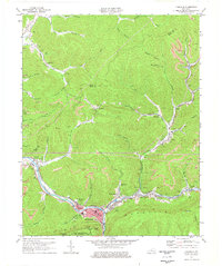 1974 Pineville1977 Print · USGSBell County during the mid-1970s shows a landscape of deep river valleys and active ridge-top mining. Trace family roots and mountain industry through Pineville, the community at Arjay, and local landmarks like Lone Jack Sch or Red Hill Cem.
 - 1977 Map of Middlesboro, 1983 Print
 1977 Middlesboro1983 Print · USGSThe tri-state border region of Kentucky, Tennessee, and Virginia is shown here in the late seventies as the rail-and-river economy hummed through the gaps. Trace local family roots and transit routes through Middlesboro, Harlan, and Cumberland Gap National Historical Park.
 - 2010 Map of Pineville, 2010 Print
 2010 Pineville2010 Print · USGSCovers Arjay, including Pineville, Blanche, and other nearby areas
 - 2013 Map of Pineville, 2013 Print
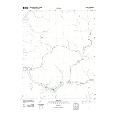
 2013 Pineville2013 Print · USGSCovers Arjay, including Pineville, Blanche, and other nearby areas
 - 2016 Map of Pineville, 2016 Print
 2016 Pineville2016 Print · USGSCovers Arjay, including Pineville, Blanche, and other nearby areas
 - 2019 Map of Pineville, 2019 Print
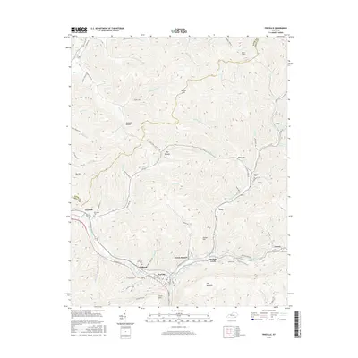
 2019 Pineville2019 Print · USGSCovers Arjay, including Pineville, Blanche, and other nearby areas
 - 2022 Map of Pineville, 2022 Print
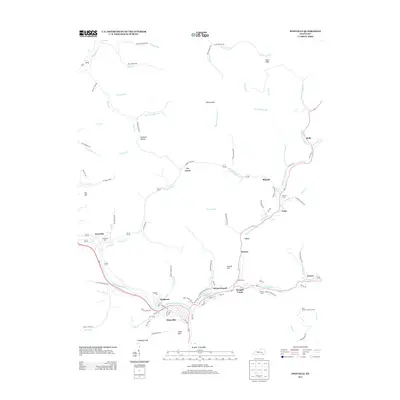
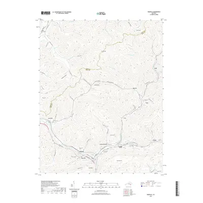
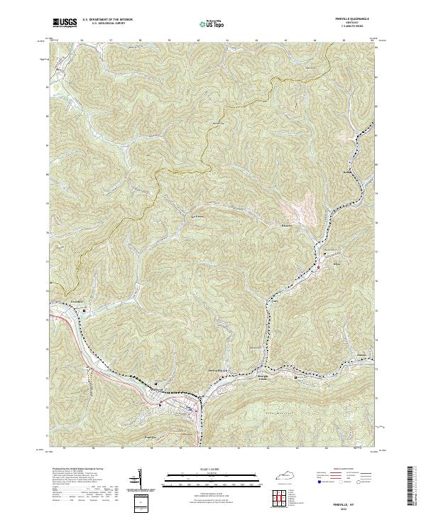 2022 Pineville2022 Print · USGSThe Cumberland River valley near the Kentucky-Tennessee border reveals a complex network of mountain settlements and hollows. Trace family roots at Henderson Cem and Liberty Cem, or locate historic landmarks like Chain Rock above Pineville.
End of results
Showing maps 1-16 of 16
Top cities near Arjay
- Middlesboro historical maps
- Harrogate historical maps
- Barbourville historical maps
- Pineville historical maps
- Cumberland Gap historical maps
- Ewing historical maps
See more
Frequently asked questions
- What are the different types of historical maps available for Arjay?
- What is the oldest map of Arjay?
- Where can I purchase historical maps of Arjay for my home or office?
- Where can I download high-res historical maps of Arjay?
- Are there historical topographic maps available for Arjay?
- Is there historical aerial imagery available for Arjay?
- Where are historical maps of Arjay sourced from?