Old Maps of Irvin Cobb Resort, Kentucky
Explore 11 old maps of Irvin Cobb Resort, spanning from 1936 to today. These high-resolution historic maps reveal how streets, neighborhoods, landmarks, and natural features evolved over time — perfect for genealogy, metal detecting, research, and local history exploration.
What you can do with these maps:
- See how Irvin Cobb Resort changed over time: Compare historical maps to modern-day views to trace roads, homesites, rail lines & more.
- View detailed metadata: Each map includes creators, publishers, year, scale, and archive source.
- Overlay maps with satellite & LiDAR: Visualize the past alongside modern tools to explore terrain & human change.
- Trusted historical sources: Maps sourced from the USGS, Library of Congress, and other archives.
- Access maps your way: View online, download high-res files, or order prints for personal or research use.
Start exploring old maps of Irvin Cobb Resort to uncover forgotten places, hidden landmarks, and the deep history beneath your feet.
Irvin Cobb Resort, KY maps
(11)- 1936 Map of Hico
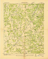 1936 Hico1936 Print · USGSCalloway and Marshall counties are shown here in the mid-thirties during a period of transition under the Tennessee Valley Authority. Researchers can trace deep family roots through numerous cemeteries like Skinner Cem and vanished landmarks such as Vinsons Store or Shady Hill Sch.
 - 1942 Map of Hico
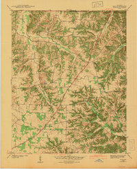 1942 Hico1942 Print · USGSCalloway and Marshall counties are shown here just before the war, capturing a rural landscape of ridge-top farms and creek-bottom timber. Researchers can locate family landmarks like Tatums Store, Shiloh Ch, and numerous burial sites including Curd Cem.
 - 1955 Map of Hico, 1956 Print
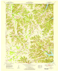 1955 Hico1956 Print · USGSCalloway County and the western shore of Kentucky Lake are shown here in the mid-fifties as the region adapted to the new reservoir. Genealogists can trace family landmarks across the ridges, from Hico and Shiloh to Elm Grove Ch and Faxon Sch.4 unique versions available
 - 1955 Map of New Concord, 1957 Print
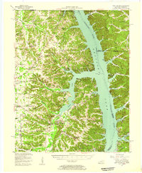 1955 New Concord1957 Print · USGSCalloway County and the Tennessee River valley are shown here just after the mid-century creation of Kentucky Lake. Local historians can trace established rural settlements like New Concord and Hico, alongside landmark sites like Fort Henry and Russell Chapel.
 - 1956 Map of Dyersburg, 1960 Print
 1956 Dyersburg1960 Print · USGSThe Four Rivers region comes alive in the mid-fifties, capturing the intricate borderlands of Tennessee, Kentucky, and Missouri. Genealogists and historians can trace the rail-and-river networks connecting Dyersburg, Caruthersville, and the shoreline of Reelfoot Lake.4 unique versions available
 - 1986 Map of Murray
 1986 Murray1986 Print · USGSWestern Kentucky in the mid-1980s reveals a landscape defined by the Tennessee and Cumberland rivers. Genealogists and historians can trace rail-town development along the Illinois Central Gulf RR and find family-named locations like Dukedom and Water Valley.2 unique versions available
 - 2010 Map of Hico, 2010 Print
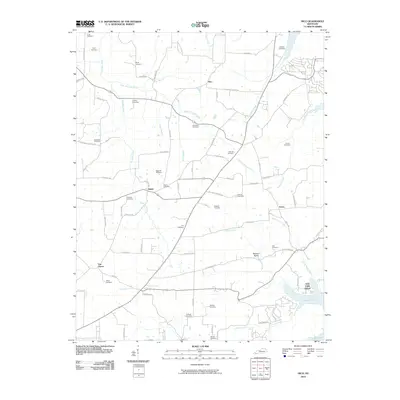 2010 Hico2010 Print · USGSCovers Irvin Cobb Resort, including Shiloh, Van Cleave, and other nearby areas
 - 2013 Map of Hico, 2013 Print
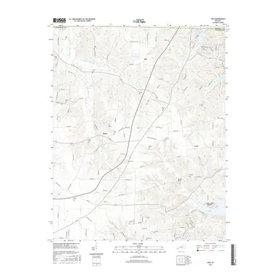
 2013 Hico2013 Print · USGSCovers Irvin Cobb Resort, including Shiloh, Van Cleave, and other nearby areas
 - 2016 Map of Hico, 2016 Print
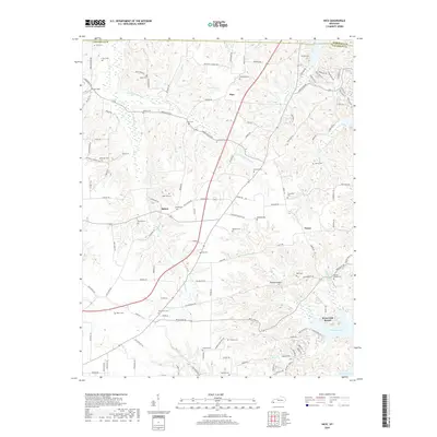
 2016 Hico2016 Print · USGSCovers Irvin Cobb Resort, including Shiloh, Van Cleave, and other nearby areas
 - 2019 Map of Hico, 2019 Print
 2019 Hico2019 Print · USGSCovers Irvin Cobb Resort, including Shiloh, Van Cleave, and other nearby areas
 - 2022 Map of Hico, 2022 Print
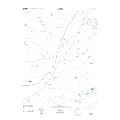
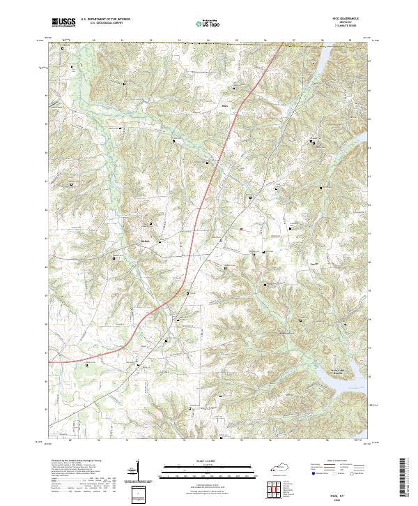 2022 Hico2022 Print · USGSCalloway County, Kentucky, near the shores of the Tennessee River, maintains its rural character in this recent survey. Genealogists can trace family landmarks and burial sites like Shiloh Cem, Scott Family Cem, and the historic community of Faxon.
End of results
Showing maps 1-11 of 11
Top cities near Irvin Cobb Resort
- Murray historical maps
- Benton historical maps
- Puryear historical maps
- Hardin historical maps
- Hazel historical maps
Frequently asked questions
- What are the different types of historical maps available for Irvin Cobb Resort?
- What is the oldest map of Irvin Cobb Resort?
- Where can I purchase historical maps of Irvin Cobb Resort for my home or office?
- Where can I download high-res historical maps of Irvin Cobb Resort?
- Are there historical topographic maps available for Irvin Cobb Resort?
- Is there historical aerial imagery available for Irvin Cobb Resort?
- Where are historical maps of Irvin Cobb Resort sourced from?