Old Maps of Murray, Kentucky
Explore 19 old maps of Murray, spanning from 1936 to today. These high-resolution historic maps reveal how streets, neighborhoods, landmarks, and natural features evolved over time — perfect for genealogy, metal detecting, research, and local history exploration.
What you can do with these maps:
- See how Murray changed over time: Compare historical maps to modern-day views to trace roads, homesites, rail lines & more.
- View detailed metadata: Each map includes creators, publishers, year, scale, and archive source.
- Overlay maps with satellite & LiDAR: Visualize the past alongside modern tools to explore terrain & human change.
- Trusted historical sources: Maps sourced from the USGS, Library of Congress, and other archives.
- Access maps your way: View online, download high-res files, or order prints for personal or research use.
Start exploring old maps of Murray to uncover forgotten places, hidden landmarks, and the deep history beneath your feet.
Murray, KY maps
(19)- 1936 Map of Hazel
 1936 Hazel1936 Print · USGSCalloway County and the Tennessee borderlands are captured here in the mid-thirties, showing the rail-linked settlements of Murray and Hazel. Genealogists can trace rural family life through dozens of local landmarks like Old Salem Ch, Smotherman Sch, and CCC Camp No 1517.
 - 1936 Map of Dexter
 1936 Dexter1936 Print · USGSCalloway County's agricultural heartland is documented here in the mid-1930s, centered on the Nashville Chattanooga and St Louis Railway. Family historians can trace ancestral roots through numerous local landmarks like Coles Camp Ground Ch, Stewart Cem, and Penny.
 - 1951 Map of Hazel, 1955 Print
 1951 Hazel1955 Print · USGSCalloway County at the start of the 1950s shows a landscape of growing college towns and quiet rural junctions. Researchers can trace the Nashville Chattanooga and St Louis rail line through Midway and find local landmarks like Old Salem Ch and England Cem.2 unique versions available
 - 1951 Map of Dexter, 1955 Print
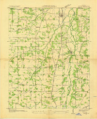
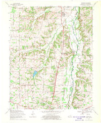
 1951 Dexter1955 Print · USGSThe rural corridor between Calloway and Marshall counties is captured here in the early fifties, centered on the Nashville Chattanooga and St Louis rail line. Genealogists can trace family landmarks like Brooks Chapel School, Coles Camp Ground Church, and the Peterson Cem.2 unique versions available
 - 1951 Map of Murray, 1957 Print
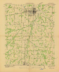
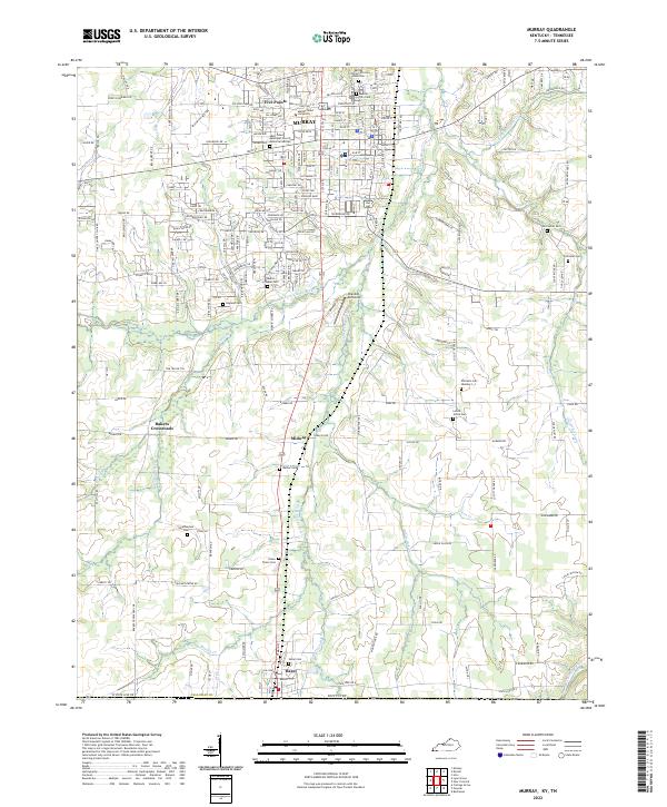
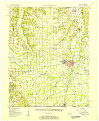 1951 Murray1957 Print · USGSMid-century Calloway County centers on the growing campus of Murray State Teachers College and the vital Nashville Chattanooga and St Louis rail line. Researchers can trace rural family sites at Taylors Store, Backusburg, and the many cemeteries like Bazzell Cem scattered across the Tennessee Valley Divide.
 - 1956 Map of Dyersburg, 1960 Print
 1956 Dyersburg1960 Print · USGSThe Four Rivers region comes alive in the mid-fifties, capturing the intricate borderlands of Tennessee, Kentucky, and Missouri. Genealogists and historians can trace the rail-and-river networks connecting Dyersburg, Caruthersville, and the shoreline of Reelfoot Lake.4 unique versions available
 - 1969 Map of Murray, 1970 Print
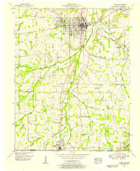
 1969 Murray1970 Print · USGSCalloway County and the Kentucky-Tennessee borderland are captured here during a period of significant educational and civic growth. Genealogists can trace family names through rural landmarks like Old Salem Cem, Green Plains Ch, and the town of Hazel on the state line.3 unique versions available
 - 1969 Map of Dexter, 1970 Print
 1969 Dexter1970 Print · USGSCalloway County is captured here in the late sixties as a landscape of small rail-side hamlets and tight-knit country congregations. Genealogists can locate family-named landmarks and community hubs like Coley Campground Ch, the Almo Sch, and the settlement of Penny.2 unique versions available
 - 1986 Map of Murray
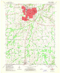
 1986 Murray1986 Print · USGSWestern Kentucky in the mid-1980s reveals a landscape defined by the Tennessee and Cumberland rivers. Genealogists and historians can trace rail-town development along the Illinois Central Gulf RR and find family-named locations like Dukedom and Water Valley.2 unique versions available
 - 2010 Map of Dexter, 2010 Print
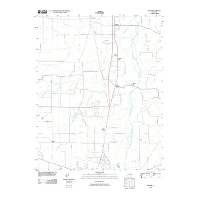 2010 Dexter2010 Print · USGSCovers Murray, including Almo Heights, Penny, and other nearby areas
 - 2010 Map of Murray, 2010 Print
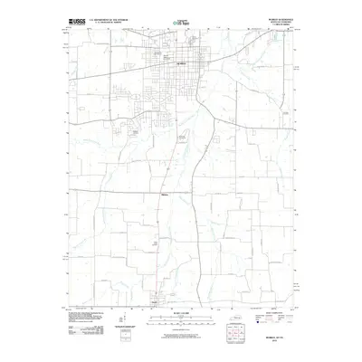 2010 Murray2010 Print · USGSCovers Murray, including Hazel, Five Points, and other nearby areas
 - 2013 Map of Murray, 2013 Print
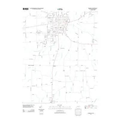 2013 Murray2013 Print · USGSCovers Murray, including Hazel, Five Points, and other nearby areas
 - 2013 Map of Dexter, 2013 Print
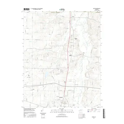
 2013 Dexter2013 Print · USGSCovers Murray, including Almo Heights, Penny, and other nearby areas
 - 2016 Map of Dexter, 2016 Print
 2016 Dexter2016 Print · USGSCovers Murray, including Almo Heights, Penny, and other nearby areas
 - 2016 Map of Murray, 2016 Print
 2016 Murray2016 Print · USGSCovers Murray, including Hazel, Five Points, and other nearby areas
 - 2019 Map of Dexter, 2019 Print
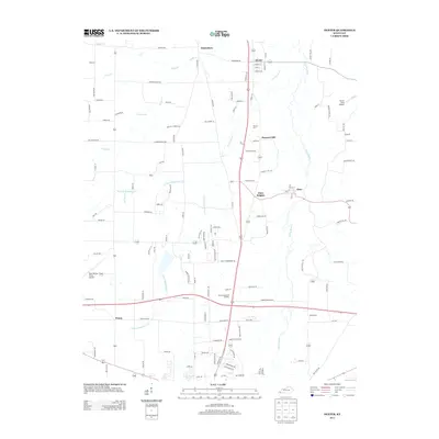
 2019 Dexter2019 Print · USGSCovers Murray, including Almo Heights, Penny, and other nearby areas
 - 2019 Map of Murray, 2019 Print
 2019 Murray2019 Print · USGSCovers Murray, including Hazel, Five Points, and other nearby areas
 - 2022 Map of Murray, 2022 Print
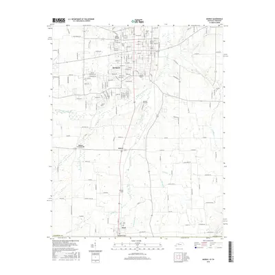
 2022 Murray2022 Print · USGSThe college town of Murray and the Tennessee borderlands are captured in this recent survey. Genealogists can trace deep local roots at Old Salem Cem, Green Plains Cem, and the Murray City Cem African American.
 - 2022 Map of Dexter, 2022 Print
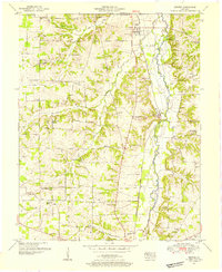
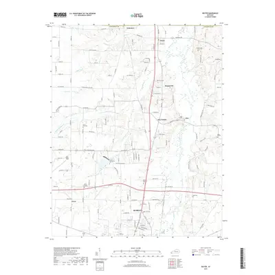
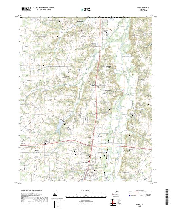 2022 Dexter2022 Print · USGSCalloway County agriculture and community life are well-established in this recent survey of the Clarks River valley. Genealogists can trace family roots through numerous sites like County Poor Farm Cem, Trevathan Cem Number 2, and the settlement of Wadesboro.
End of results
Showing maps 1-19 of 19
Top cities near Murray
Top neighborhoods of Murray
Frequently asked questions
- What are the different types of historical maps available for Murray?
- What is the oldest map of Murray?
- Where can I purchase historical maps of Murray for my home or office?
- Where can I download high-res historical maps of Murray?
- Are there historical topographic maps available for Murray?
- Is there historical aerial imagery available for Murray?
- Where are historical maps of Murray sourced from?