Old Maps of Murray, Kentucky for Genealogy
Trace your family roots with 19 historic maps of Murray. These high-res maps reveal old neighborhoods, homesites, landmarks, and streets — helping you uncover where your ancestors lived and how the area evolved over time.
- Explore historic neighborhoods: Identify where your relatives may have lived in the 1800s or 1900s.
- Compare maps over time: Trace the changes in streets, buildings, and landmarks for multi-generational research.
- Perfect for genealogy & ancestry research: Used by family historians and researchers to map out lineage and migration.
These maps are an incredible resource for exploring your personal connection to Murray's past.
Murray, KY maps
(19)- 1936 Map of Hazel
 1936 Hazel1936 Print · USGSCalloway County and the Tennessee borderlands are captured here in the mid-thirties, showing the rail-linked settlements of Murray and Hazel. Genealogists can trace rural family life through dozens of local landmarks like Old Salem Ch, Smotherman Sch, and CCC Camp No 1517.
 - 1936 Map of Dexter
 1936 Dexter1936 Print · USGSCalloway County's agricultural heartland is documented here in the mid-1930s, centered on the Nashville Chattanooga and St Louis Railway. Family historians can trace ancestral roots through numerous local landmarks like Coles Camp Ground Ch, Stewart Cem, and Penny.
 - 1951 Map of Hazel, 1955 Print
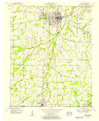 1951 Hazel1955 Print · USGSCalloway County at the start of the 1950s shows a landscape of growing college towns and quiet rural junctions. Researchers can trace the Nashville Chattanooga and St Louis rail line through Midway and find local landmarks like Old Salem Ch and England Cem.2 unique versions available
 - 1951 Map of Dexter, 1955 Print
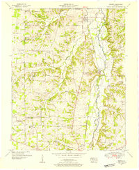 1951 Dexter1955 Print · USGSThe rural corridor between Calloway and Marshall counties is captured here in the early fifties, centered on the Nashville Chattanooga and St Louis rail line. Genealogists can trace family landmarks like Brooks Chapel School, Coles Camp Ground Church, and the Peterson Cem.2 unique versions available
 - 1951 Map of Murray, 1957 Print
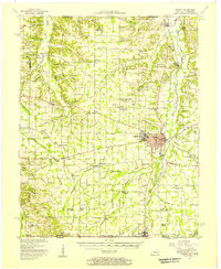 1951 Murray1957 Print · USGSMid-century Calloway County centers on the growing campus of Murray State Teachers College and the vital Nashville Chattanooga and St Louis rail line. Researchers can trace rural family sites at Taylors Store, Backusburg, and the many cemeteries like Bazzell Cem scattered across the Tennessee Valley Divide.
 - 1956 Map of Dyersburg, 1960 Print
 1956 Dyersburg1960 Print · USGSThe Four Rivers region comes alive in the mid-fifties, capturing the intricate borderlands of Tennessee, Kentucky, and Missouri. Genealogists and historians can trace the rail-and-river networks connecting Dyersburg, Caruthersville, and the shoreline of Reelfoot Lake.4 unique versions available
 - 1969 Map of Murray, 1970 Print
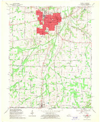 1969 Murray1970 Print · USGSCalloway County and the Kentucky-Tennessee borderland are captured here during a period of significant educational and civic growth. Genealogists can trace family names through rural landmarks like Old Salem Cem, Green Plains Ch, and the town of Hazel on the state line.3 unique versions available
 - 1969 Map of Dexter, 1970 Print
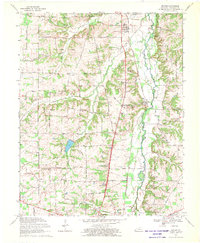 1969 Dexter1970 Print · USGSCalloway County is captured here in the late sixties as a landscape of small rail-side hamlets and tight-knit country congregations. Genealogists can locate family-named landmarks and community hubs like Coley Campground Ch, the Almo Sch, and the settlement of Penny.2 unique versions available
 - 1986 Map of Murray
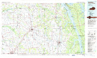 1986 Murray1986 Print · USGSWestern Kentucky in the mid-1980s reveals a landscape defined by the Tennessee and Cumberland rivers. Genealogists and historians can trace rail-town development along the Illinois Central Gulf RR and find family-named locations like Dukedom and Water Valley.2 unique versions available
 - 2010 Map of Dexter, 2010 Print
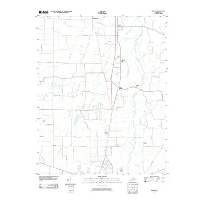 2010 Dexter2010 Print · USGSCalloway County at the start of the 2010s shows a landscape of river-bottom farms and small crossroads settlements. Genealogists and local historians can trace family roots through sites like Bethel Cemetery, Dexter, and the rural community of Wadesboro.
 - 2010 Map of Murray, 2010 Print
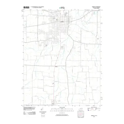 2010 Murray2010 Print · USGSMurray and its surrounding Calloway County landscape are centered on the growth of Murray State University and the local river networks. Genealogists and researchers can trace family lines through Murray Cemetery, England Cemetery, and the settlement at Hazel.
 - 2013 Map of Murray, 2013 Print
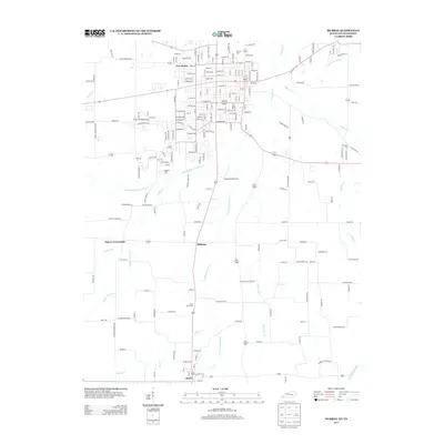 2013 Murray2013 Print · USGSSouthern Calloway County and the Tennessee border appear in detail during the early twenty-first century. Genealogists and local historians can trace family locations near Hazel, Midway, and historic burial sites like Green Plains Cem or England Cem.
 - 2013 Map of Dexter, 2013 Print
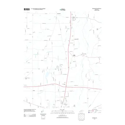 2013 Dexter2013 Print · USGSCalloway County is captured here just over a decade ago, showcasing its network of small communities and rural drainage. Genealogists and local historians can trace the vicinity of Dexter, Almo, and Penny, or locate family sites near Stewart Cem and Bethel Cem.
 - 2016 Map of Dexter, 2016 Print
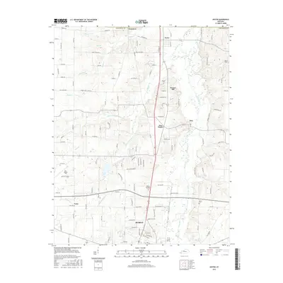 2016 Dexter2016 Print · USGSCalloway County and the northern outskirts of Murray are documented here in the mid-2010s. Local researchers can trace family landmarks near Bethel Cem, explore the rural settlements of Dexter and Almo, or locate Kyle-Oakley Field.
 - 2016 Map of Murray, 2016 Print
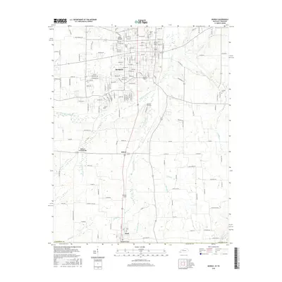 2016 Murray2016 Print · USGSWestern Kentucky's university landscape and rural crossroads are captured here during a period of steady growth. Genealogists and local historians can trace family locations near Hazel Cem or explore the development around Murray State Univ and Five Points.
 - 2019 Map of Dexter, 2019 Print
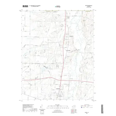 2019 Dexter2019 Print · USGSCalloway County at the end of the 2010s shows a landscape of established rural communities and the growing northern reaches of the county seat. Researchers can trace ancestral sites at Coles Campground Cem and Stewart Cem, or explore the historic hubs of Dexter and Almo.
 - 2019 Map of Murray, 2019 Print
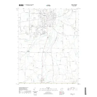 2019 Murray2019 Print · USGSCalloway County at the close of the 2010s reveals a landscape where the growing city of Murray meets established rural crossroads and family homesteads. Researchers can trace ancestral connections through several local burial grounds, including Locust Grove Cem, Old Salem Cem, and Martin Chapel Cem.
 - 2022 Map of Murray, 2022 Print
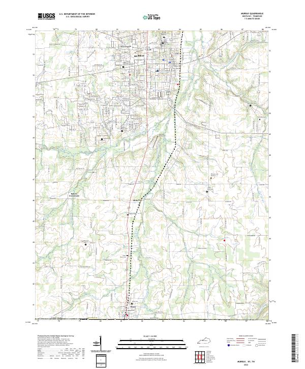 2022 Murray2022 Print · USGSThe college town of Murray and the Tennessee borderlands are captured in this recent survey. Genealogists can trace deep local roots at Old Salem Cem, Green Plains Cem, and the Murray City Cem African American.
 - 2022 Map of Dexter, 2022 Print
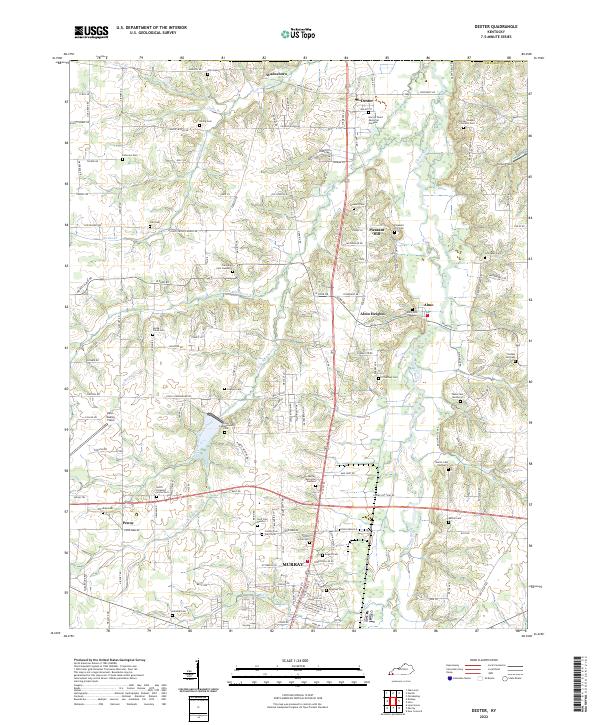 2022 Dexter2022 Print · USGSCalloway County agriculture and community life are well-established in this recent survey of the Clarks River valley. Genealogists can trace family roots through numerous sites like County Poor Farm Cem, Trevathan Cem Number 2, and the settlement of Wadesboro.
End of results
Showing maps 1-19 of 19
Top cities near Murray
Top neighborhoods of Murray
Frequently asked questions
- What are the different types of historical maps available for Murray?
- What is the oldest map of Murray?
- Where can I purchase historical maps of Murray for my home or office?
- Where can I download high-res historical maps of Murray?
- Are there historical topographic maps available for Murray?
- Is there historical aerial imagery available for Murray?
- Where are historical maps of Murray sourced from?