2000s (21st Century) Maps of Murray, Kentucky
Explore 10 historic maps of Murray from the 2000s (21st Century). These maps offer a rare glimpse into what life looked like during the 2000s — showing old roads, neighborhoods, homes, and landmarks that have changed or disappeared over time.
Whether you're researching your family's past, planning a metal detecting trip, or studying how Murray's landscape evolved across the 2000s, these high-resolution maps are a powerful tool for exploring the history of this region.
- Focus on a specific era: All maps on this page are from the 2000s, giving you a focused view of this time period.
- See what’s changed: Compare century-old streets, trails, and buildings to today's modern landscape using overlays and satellite layers.
- Research with precision: Use these maps for genealogy, historical research, land use analysis, or educational projects.
- View, download, or print: Maps are fully viewable online in high resolution, and can be downloaded or printed for your own records.
Start exploring Murray's history through authentic maps from the 2000s. This is your window into the past.
Murray, KY maps
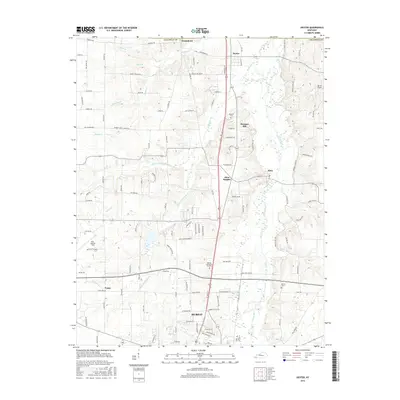
(10)- 2010 Map of Dexter, 2010 Print
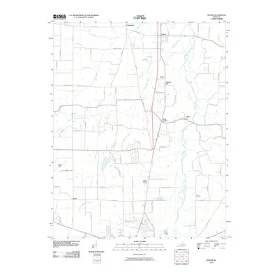 2010 Dexter2010 Print · USGSCovers Murray, including Almo Heights, Penny, and other nearby areas
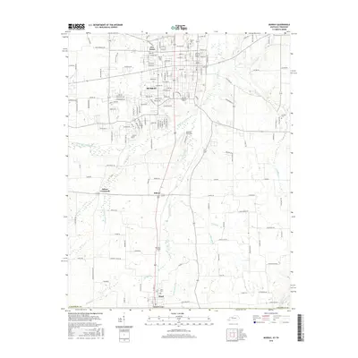
 - 2010 Map of Murray, 2010 Print
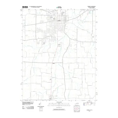 2010 Murray2010 Print · USGSCovers Murray, including Hazel, Five Points, and other nearby areas
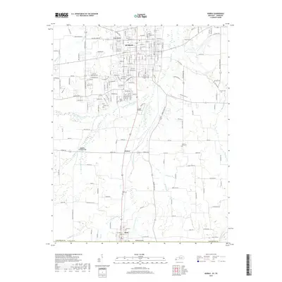
 - 2013 Map of Murray, 2013 Print
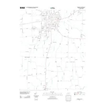 2013 Murray2013 Print · USGSCovers Murray, including Hazel, Five Points, and other nearby areas
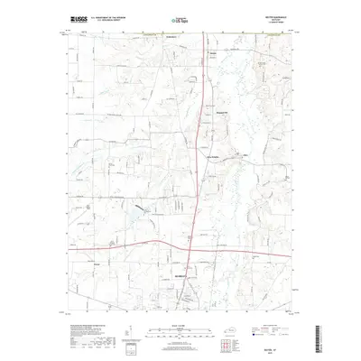
 - 2013 Map of Dexter, 2013 Print
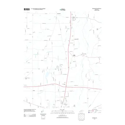 2013 Dexter2013 Print · USGSCovers Murray, including Almo Heights, Penny, and other nearby areas
 - 2016 Map of Dexter, 2016 Print
 2016 Dexter2016 Print · USGSCovers Murray, including Almo Heights, Penny, and other nearby areas
 - 2016 Map of Murray, 2016 Print
 2016 Murray2016 Print · USGSCovers Murray, including Hazel, Five Points, and other nearby areas
 - 2019 Map of Dexter, 2019 Print
 2019 Dexter2019 Print · USGSCovers Murray, including Almo Heights, Penny, and other nearby areas
 - 2019 Map of Murray, 2019 Print
 2019 Murray2019 Print · USGSCovers Murray, including Hazel, Five Points, and other nearby areas
 - 2022 Map of Murray, 2022 Print
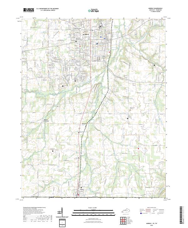 2022 Murray2022 Print · USGSThe college town of Murray and the Tennessee borderlands are captured in this recent survey. Genealogists can trace deep local roots at Old Salem Cem, Green Plains Cem, and the Murray City Cem African American.
 - 2022 Map of Dexter, 2022 Print
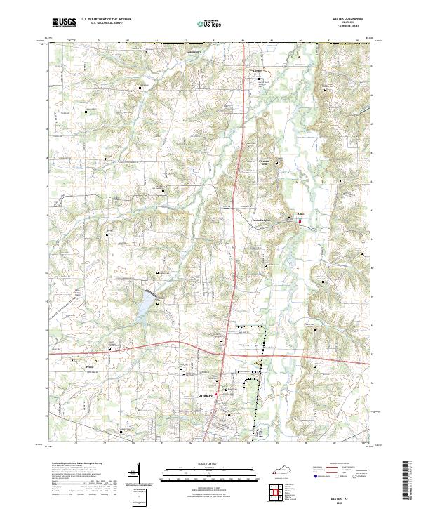 2022 Dexter2022 Print · USGSCalloway County agriculture and community life are well-established in this recent survey of the Clarks River valley. Genealogists can trace family roots through numerous sites like County Poor Farm Cem, Trevathan Cem Number 2, and the settlement of Wadesboro.
End of results
Showing maps 1-10 of 10
Top cities near Murray
Top neighborhoods of Murray
Frequently asked questions
- What are the different types of historical maps available for Murray?
- What is the oldest map of Murray?
- Where can I purchase historical maps of Murray for my home or office?
- Where can I download high-res historical maps of Murray?
- Are there historical topographic maps available for Murray?
- Is there historical aerial imagery available for Murray?
- Where are historical maps of Murray sourced from?