Old Maps of Fultz, Kentucky for Metal Detecting
Plan your next treasure hunt with 11 historic maps of Fultz. Find old homesites, ghost towns, trails, and gathering spots that may be lost to time — perfect for identifying promising metal detecting locations.
- Locate forgotten sites: Uncover places like long-lost settlements, abandoned rail lines, or gathering spots.
- Plan better hunts: Use map overlays combined with LiDAR or satellite views to narrow in on historically rich areas.
- Made for detectorists: Thousands of hobbyists use these maps to discover relics, coins, and hidden history.
Use these historic maps to boost your research and find new opportunities beneath the surface of Fultz.
Fultz, KY maps
(11)- 1950 Map of Grahn, 1952 Print
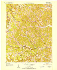 1950 Grahn1952 Print · USGSCarter County's rugged karst hills are captured here in the early fifties, showing a landscape defined by deep hollows and narrow creek bottoms. Researchers can trace the Chesapeake and Ohio rail line past the Aden Tunnel, find family roots at Littleton Cem, or locate the Clay Mines near Grahn.
 - 1957 Map of Huntington, 1966 Print
 1957 Huntington1966 Print · USGSThe industrial heart of the Ohio River valley is captured here in the mid-sixties, showing the growth of Huntington and Ashland. Researchers can trace the extensive rail networks of the Chesapeake and Ohio RR and locate sites like the Chief Cornstalk Hunting Ground.3 unique versions available
 - 1960 Map of Huntington
 1960 Huntington1960 Print · USGSThe tri-state river valley thrived in the late fifties as a hub of heavy industry and Appalachian rail transit. Genealogists and historians can trace the connection between river towns like Ashland and Portsmouth or locate family homesteads near Coleman Ridge.
 - 1962 Map of Grahn, 1964 Print
 1962 Grahn1964 Print · USGSCarter County's rugged karst landscape and rail corridors are captured here in the early sixties. Genealogists and hikers can trace family sites like Littleton Cem or explore the early layout of Carter Caves State Park and the village of Grahn.
 - 1970 Map of Grahn, 1972 Print
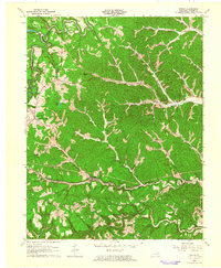
 1970 Grahn1972 Print · USGSCarter County in the early seventies shows a landscape defined by the winding paths of the Chesapeake and Ohio railroad and rugged mining operations. Researchers can trace rural life through the Aden Tunnel, the Bledsoe Cem, and the old Pleasant Valley Sch.2 unique versions available
 - 1982 Map of Morehead, 1983 Print
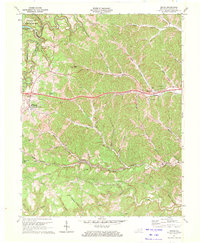
 1982 Morehead1983 Print · USGSThe foothills of northeastern Kentucky come alive in the early eighties, showcasing a landscape defined by timber, limestone caves, and major reservoirs. Local researchers can trace the development of Morehead State University or locate old crossings at Plummers Mill and Salt Lick.
 - 2010 Map of Grahn, 2010 Print
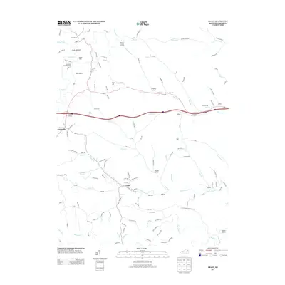
 2010 Grahn2010 Print · USGSCovers Fultz, including Grahn, Gregoryville, and other nearby areas
 - 2013 Map of Grahn, 2013 Print
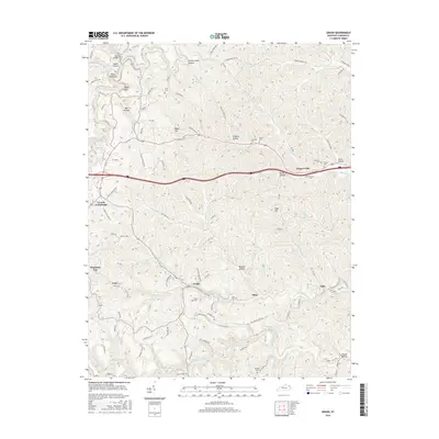
 2013 Grahn2013 Print · USGSCovers Fultz, including Grahn, Gregoryville, and other nearby areas
 - 2016 Map of Grahn, 2016 Print
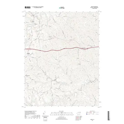
 2016 Grahn2016 Print · USGSCovers Fultz, including Grahn, Gregoryville, and other nearby areas
 - 2019 Map of Grahn, 2019 Print
 2019 Grahn2019 Print · USGSCovers Fultz, including Grahn, Gregoryville, and other nearby areas
 - 2022 Map of Grahn, 2022 Print
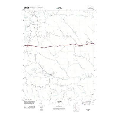
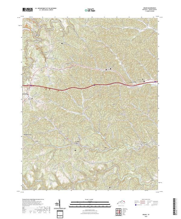 2022 Grahn2022 Print · USGSEastern Kentucky's rugged valleys and hilltops come alive in this 2022 study of the Carter County landscape. Researchers can trace family history through sites like Everman Cem and follow the path of the Chesapeake and Ohio Railway through Grahn.
End of results
Showing maps 1-11 of 11
Top cities near Fultz
Frequently asked questions
- What are the different types of historical maps available for Fultz?
- What is the oldest map of Fultz?
- Where can I purchase historical maps of Fultz for my home or office?
- Where can I download high-res historical maps of Fultz?
- Are there historical topographic maps available for Fultz?
- Is there historical aerial imagery available for Fultz?
- Where are historical maps of Fultz sourced from?