Old Maps of L and E Junction, Kentucky
Explore 10 old maps of L and E Junction, spanning from 1952 to today. These high-resolution historic maps reveal how streets, neighborhoods, landmarks, and natural features evolved over time — perfect for genealogy, metal detecting, research, and local history exploration.
What you can do with these maps:
- See how L and E Junction changed over time: Compare historical maps to modern-day views to trace roads, homesites, rail lines & more.
- View detailed metadata: Each map includes creators, publishers, year, scale, and archive source.
- Overlay maps with satellite & LiDAR: Visualize the past alongside modern tools to explore terrain & human change.
- Trusted historical sources: Maps sourced from the USGS, Library of Congress, and other archives.
- Access maps your way: View online, download high-res files, or order prints for personal or research use.
Start exploring old maps of L and E Junction to uncover forgotten places, hidden landmarks, and the deep history beneath your feet.
L and E Junction, KY maps
(10)- 1952 Map of Sideview, 1954 Print
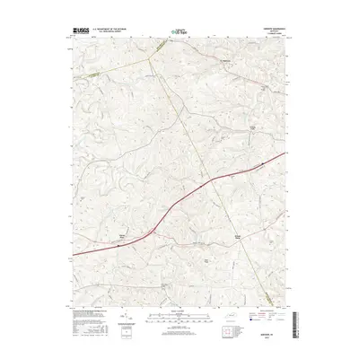
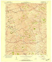 1952 Sideview1954 Print · USGSThe rolling hills of Clark and Montgomery counties are captured in the early fifties, showing a rural landscape of tight-knit communities. Family researchers can trace ancestral locations through names like Mason Cem, Sewell Shop, and Wades Mill.
 - 1956 Map of Louisville, 1971 Print
 1956 Louisville1971 Print · USGSThe Ohio River valley and the Kentucky Bluegrass are captured here during a period of rapid mid-century growth and industrial activity. Genealogists and historians can trace rail-centered towns and military land use at Fort Knox and the Jefferson Proving Ground.2 unique versions available
 - 1964 Map of Louisville
 1964 Louisville1964 Print · USGSThe Ohio River valley and Kentucky Bluegrass are captured in the mid-1960s, showing a region balanced between industrial growth and its agrarian roots. Genealogists and historians can trace the development of county seats like Shelbyville and Paris, or locate established institutions such as Georgetown College and Bernheim Forest.
 - 1965 Map of Sideview, 1966 Print
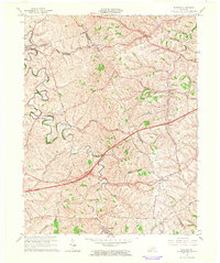 1965 Sideview1966 Print · USGSThe rural borders of Clark and Bourbon counties are captured here in the mid-1960s, a landscape of winding creeks and historic crossroads. Genealogists and local historians can trace family sites like Prewitt Cem and early settlements including Sideview and Wades Mill.2 unique versions available
 - 1986 Map of Lexington
 1986 Lexington1986 Print · USGSCentral Kentucky’s Bluegrass region is captured in the mid-eighties as urban centers like Lexington and Frankfort expand alongside deep-rooted rural hubs. Researchers can trace historic rail lines like the Southern Railway and find landmarks such as the Lexington Blue Grass Army Depot and Tacketts Mill.
 - 2010 Map of Sideview, 2010 Print
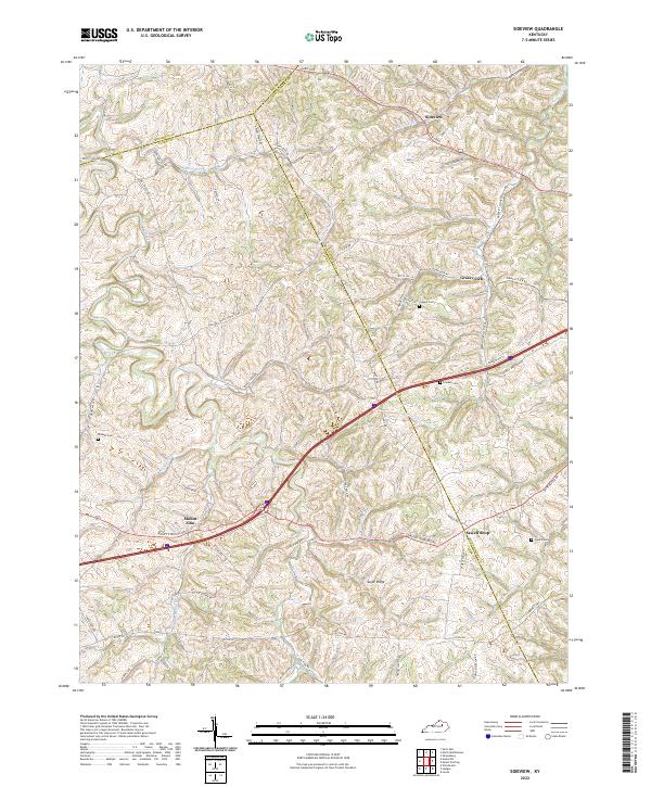
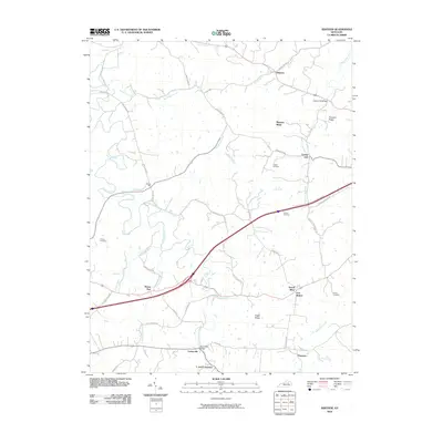 2010 Sideview2010 Print · USGSCovers L and E Junction, including Mount Zion, Grassy Lick, and other nearby areas
 - 2013 Map of Sideview, 2013 Print
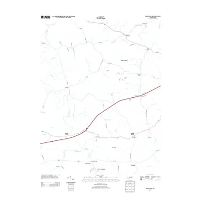 2013 Sideview2013 Print · USGSCovers L and E Junction, including Mount Zion, Grassy Lick, and other nearby areas
 - 2016 Map of Sideview, 2016 Print
 2016 Sideview2016 Print · USGSCovers L and E Junction, including Mount Zion, Grassy Lick, and other nearby areas
 - 2019 Map of Sideview, 2019 Print
 2019 Sideview2019 Print · USGSCovers L and E Junction, including Mount Zion, Grassy Lick, and other nearby areas
 - 2022 Map of Sideview, 2022 Print
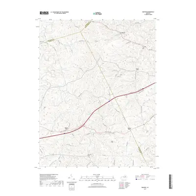
 2022 Sideview2022 Print · USGSThe tri-county border of Bourbon, Clark, and Montgomery Counties is shown here in the 2020s, featuring a landscape of winding pikes and rural crossroads. Local historians can trace family roots at Greene Cem and French Cem or explore the settlements of Sideview and Sewell Shop.
End of results
Showing maps 1-10 of 10
Top cities near L and E Junction
- Lexington historical maps
- Richmond historical maps
- Winchester historical maps
- Paris historical maps
- Mount Sterling historical maps
- Stanton historical maps
See more
Frequently asked questions
- What are the different types of historical maps available for L and E Junction?
- What is the oldest map of L and E Junction?
- Where can I purchase historical maps of L and E Junction for my home or office?
- Where can I download high-res historical maps of L and E Junction?
- Are there historical topographic maps available for L and E Junction?
- Is there historical aerial imagery available for L and E Junction?
- Where are historical maps of L and E Junction sourced from?