Old Maps of Hima, Kentucky
Explore 11 old maps of Hima, spanning from 1891 to today. These high-resolution historic maps reveal how streets, neighborhoods, landmarks, and natural features evolved over time — perfect for genealogy, metal detecting, research, and local history exploration.
What you can do with these maps:
- See how Hima changed over time: Compare historical maps to modern-day views to trace roads, homesites, rail lines & more.
- View detailed metadata: Each map includes creators, publishers, year, scale, and archive source.
- Overlay maps with satellite & LiDAR: Visualize the past alongside modern tools to explore terrain & human change.
- Trusted historical sources: Maps sourced from the USGS, Library of Congress, and other archives.
- Access maps your way: View online, download high-res files, or order prints for personal or research use.
Start exploring old maps of Hima to uncover forgotten places, hidden landmarks, and the deep history beneath your feet.
Hima, KY maps
(11)- 1891 Map of Manchester
 1891 Manchester1891 Print · USGSEastern Kentucky's mountain settlements and early salt industry come to life in the years following the Reconstruction era. Genealogists and historians can locate early family landmarks such as Moore Store, the Salt Works, and Boush Store.7 unique versions available
 - 1952 Map of Hima, 1953 Print
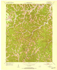 1952 Hima1953 Print · USGSClay County's narrow hollows and ridge-line communities are shown here in the early 1950s. Genealogists and local historians can locate several family cemeteries and rural schoolhouses including Antioch Sch, Cottongim Cem, and New Home.2 unique versions available
 - 1957 Map of Jenkins, 1974 Print
 1957 Jenkins1974 Print · USGSThe Cumberland Plateau in the mid-twentieth century reveals a complex landscape of winding river valleys and deep-seated industry. Genealogists and historians can trace the development of Hazard, Jenkins, and Pikeville alongside extensive Numerous Oil and Gas Fields and the routes of the Chesapeake & Ohio Railway.
 - 1960 Map of Jenkins
 1960 Jenkins1960 Print · USGSEastern Kentucky and the West Virginia borderlands are captured at a mid-century peak of the coal and rail era. Trace the industrial corridors of the Chesapeake and Ohio RR through mountain hubs like Hazard and Jenkins.
 - 1977 Map of Hazard, 1983 Print
 1977 Hazard1983 Print · USGSEastern Kentucky's coal country comes into sharp focus during the late seventies, showing the deep-set river valleys and mountain gaps that shaped regional life. Genealogists can trace family connections through river-bottom settlements like Oneida, Krypton, and Bulan or follow the Seaboard System rail lines.
 - 1979 Map of Hima
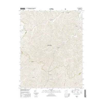
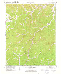 1979 Hima1979 Print · USGSClay and Knox counties are shown during the height of the coal era in the late seventies. Genealogists can trace family landmarks like Cottongim Cem and rural hubs such as Woollum and the Lilly Grove Ch.
 - 2011 Map of Hima, 2011 Print
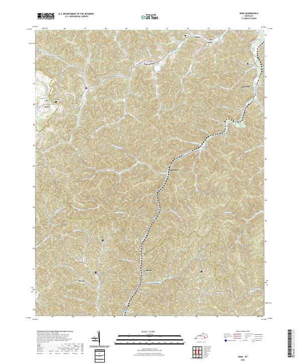
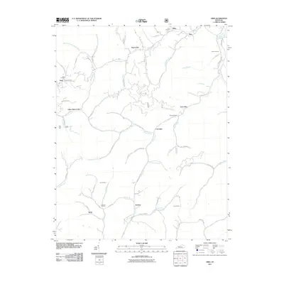 2011 Hima2011 Print · USGSCovers Hima, including Woollum, Sibert, and other nearby areas
 - 2013 Map of Hima, 2013 Print
 2013 Hima2013 Print · USGSCovers Hima, including Woollum, Sibert, and other nearby areas
 - 2016 Map of Hima, 2016 Print
 2016 Hima2016 Print · USGSCovers Hima, including Woollum, Sibert, and other nearby areas
 - 2019 Map of Hima, 2019 Print
 2019 Hima2019 Print · USGSCovers Hima, including Woollum, Sibert, and other nearby areas
 - 2022 Map of Hima, 2022 Print
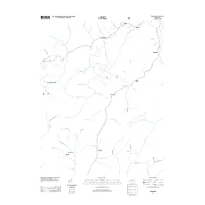
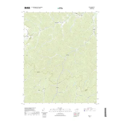
 2022 Hima2022 Print · USGSThe northern edge of the Kentucky coalfields near Hima and Woollum appears here in the early 2020s. Researchers can locate numerous family burial grounds including Harris Cem and Engine Cem tucked along the banks of Goose Creek.
End of results
Showing maps 1-11 of 11
Top cities near Hima
Frequently asked questions
- What are the different types of historical maps available for Hima?
- What is the oldest map of Hima?
- Where can I purchase historical maps of Hima for my home or office?
- Where can I download high-res historical maps of Hima?
- Are there historical topographic maps available for Hima?
- Is there historical aerial imagery available for Hima?
- Where are historical maps of Hima sourced from?