1960s Maps of Lexington, Kentucky
Explore 11 historic maps of Lexington from the 1960s. These maps offer a rare glimpse into what life looked like during the 1960s — showing old roads, neighborhoods, homes, and landmarks that have changed or disappeared over time.
Whether you're researching your family's past, planning a metal detecting trip, or studying how Lexington's landscape evolved across the 1960s, these high-resolution maps are a powerful tool for exploring the history of this region.
- Focus on a specific era: All maps on this page are from the 1960s, giving you a focused view of this time period.
- See what’s changed: Compare century-old streets, trails, and buildings to today's modern landscape using overlays and satellite layers.
- Research with precision: Use these maps for genealogy, historical research, land use analysis, or educational projects.
- View, download, or print: Maps are fully viewable online in high resolution, and can be downloaded or printed for your own records.
Start exploring Lexington's history through authentic maps from the 1960s. This is your window into the past.
Lexington, KY maps
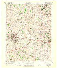
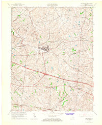
(11)- 1960 Map of Winchester
 1960 Winchester1960 Print · USGSCovers Lexington, including Louisville, Richmond, and other nearby areas
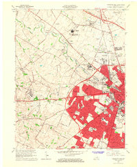
 - 1964 Map of Louisville
 1964 Louisville1964 Print · USGSCovers Lexington, including Louisville, Jeffersonville, and other nearby areas
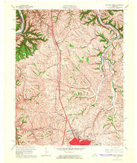
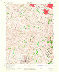
 - 1965 Map of Versailles, 1966 Print
 1965 Versailles1966 Print · USGSCovers Lexington, including Versailles, Zion Hill, and other nearby areas3 unique versions available
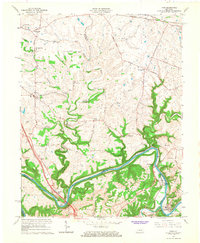
 - 1965 Map of Richmond North, 1966 Print
 1965 Richmond North1966 Print · USGSCovers Lexington, including Richmond, Hillcrest, and other nearby areas3 unique versions available
 - 1965 Map of Coletown, 1966 Print
 1965 Coletown1966 Print · USGSCovers Lexington, including Southeastern Hills, Coletown, and other nearby areas5 unique versions available
 - 1965 Map of Georgetown, 1966 Print
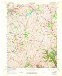
 1965 Georgetown1966 Print · USGSCovers Lexington, including Georgetown, Clabber Bottom, and other nearby areas4 unique versions available
 - 1965 Map of Clintonville, 1967 Print
 1965 Clintonville1967 Print · USGSCovers Lexington, including Wyandotte, Avon, and other nearby areas3 unique versions available
 - 1965 Map of Lexington West, 1967 Print
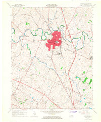
 1965 Lexington West1967 Print · USGSCovers Lexington, including Highlands, Elk Chester, and other nearby areas5 unique versions available
 - 1965 Map of Nicholasville, 1967 Print
 1965 Nicholasville1967 Print · USGSCovers Lexington, including Nicholasville, Union Mills, and other nearby areas4 unique versions available
 - 1965 Map of Ford, 1967 Print
 1965 Ford1967 Print · USGSCovers Lexington, including Athens, Lisletown, and other nearby areas2 unique versions available
 - 1965 Map of Lexington East, 1967 Print
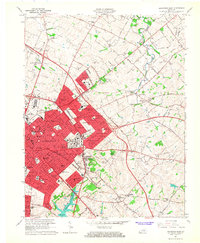 1965 Lexington East1967 Print · USGSCovers Lexington, including Chevy Chase, Hollywood, and other nearby areas6 unique versions available
End of results
Showing maps 1-11 of 11
Top cities near Lexington
- Georgetown historical maps
- Nicholasville historical maps
- Paris historical maps
- Wilmore historical maps
- Midway historical maps
- Zion Hill historical maps
Top neighborhoods of Lexington
- Pinehurst historical maps
- Bracktown historical maps
- Brighton historical maps
- Cadentown historical maps
- Dixie Plantation historical maps
- Elkhorn Parks historical maps
See more
Frequently asked questions
- What are the different types of historical maps available for Lexington?
- What is the oldest map of Lexington?
- Where can I purchase historical maps of Lexington for my home or office?
- Where can I download high-res historical maps of Lexington?
- Are there historical topographic maps available for Lexington?
- Is there historical aerial imagery available for Lexington?
- Where are historical maps of Lexington sourced from?