Old Maps of Deerfield, Lexington
Explore 27 old maps of Deerfield, spanning from 1905 to today. These high-resolution historic maps reveal how streets, neighborhoods, landmarks, and natural features evolved over time — perfect for genealogy, metal detecting, research, and local history exploration.
What you can do with these maps:
- See how Deerfield changed over time: Compare historical maps to modern-day views to trace roads, homesites, rail lines & more.
- View detailed metadata: Each map includes creators, publishers, year, scale, and archive source.
- Overlay maps with satellite & LiDAR: Visualize the past alongside modern tools to explore terrain & human change.
- Trusted historical sources: Maps sourced from the USGS, Library of Congress, and other archives.
- Access maps your way: View online, download high-res files, or order prints for personal or research use.
Start exploring old maps of Deerfield to uncover forgotten places, hidden landmarks, and the deep history beneath your feet.
Deerfield, Lexington maps
(27)- 1905 Map of Harrodsburg
 1905 Harrodsburg1905 Print · USGSCentral Kentucky's Bluegrass region is captured here in the early twentieth century, showing a landscape defined by the deep gorges of the Kentucky River. Researchers can trace the era's vital rail networks and river commerce through features like Lock No 7 and the Louisville and Nashville RR.3 unique versions available
 - 1906 Map of Georgetown, 1954 Print
 1906 Georgetown1954 Print · USGSCentral Kentucky at the opening of the twentieth century was a landscape shaped by winding creeks and a dense web of steam rail lines. Local researchers can trace the historic rail corridors of the Southern R R and find early settlements like Paynes Depot and Great Crossing.
 - 1908 Map of Georgetown
 1908 Georgetown1908 Print · USGSCentral Kentucky at the turn of the century reveals a landscape of thriving rail depots and historic turnpikes connecting major county seats. Genealogists and historians can trace the early footprints of Midway, Donerail, and Great Crossing along the winding North Elkhorn Creek.2 unique versions available
 - 1950 Map of Lexington West, 1952 Print
 1950 Lexington West1952 Print · USGSThe Bluegrass region around Lexington is captured here in the mid-century, showcasing the era's legendary horse farms and expanding urban footprint. Researchers can trace the grounds of Calumet Farm, locate the Kentucky House of Reform, and explore the 1950s layout of the University of Kentucky.
 - 1952 Map of Nicholasville, 1953 Print
 1952 Nicholasville1953 Print · USGSThe Bluegrass heartland of Jessamine County comes alive in the early fifties, documenting a landscape of rural schools and rail-side settlements. Researchers can trace family roots through landmarks like Providence Ch, Lyons Sch, and the winding path of Hickman Creek.
 - 1955 Map of Lexington West, 1956 Print
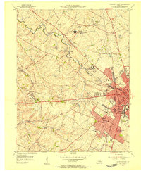 1955 Lexington West1956 Print · USGSMid-century Lexington and its famed horse country are revealed in this detailed survey as the city expands westward. Researchers can trace the footprints of legendary estates like Calumet Farm, the original University of Kentucky campus, and the U S Veterans Hospital.
 - 1956 Map of Louisville, 1971 Print
 1956 Louisville1971 Print · USGSThe Ohio River valley and the Kentucky Bluegrass are captured here during a period of rapid mid-century growth and industrial activity. Genealogists and historians can trace rail-centered towns and military land use at Fort Knox and the Jefferson Proving Ground.2 unique versions available
 - 1957 Map of Winchester, 1968 Print
 1957 Winchester1968 Print · USGSCentral Kentucky's landscape in the mid-twentieth century features the sprawling Fort Knox and the early parkway system. Genealogists and historians can trace rail lines like the Southern Railway and find landmarks from Bernheim Forest to Pilot Knob.3 unique versions available
 - 1959 Map of Nicholasville, 1960 Print
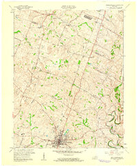 1959 Nicholasville1960 Print · USGSJessamine County's rolling farmland and the growing town of Nicholasville are captured here during the late fifties. Genealogists and local historians can trace the paths of Hickman Creek, locate the County High Sch, or find family sites near Union Mills.
 - 1959 Map of Lexington West, 1961 Print
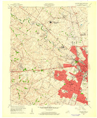 1959 Lexington West1961 Print · USGSMid-century Lexington and the surrounding horse country are captured here just as suburban expansion began to meet historic Bluegrass estates. Researchers can trace legendary grounds like Calumet Farm alongside the growing University of Kentucky and the Keeneland Race Course.
 - 1960 Map of Winchester
 1960 Winchester1960 Print · USGSCentral Kentucky's diverse landscape is shown here at mid-century, from the bluegrass plains to the rugged Pottsville Escarpment. Genealogists and historians can trace the rail-and-river network connecting towns like Bardstown and Stanford alongside landmarks like Lake Cumberland.
 - 1964 Map of Louisville
 1964 Louisville1964 Print · USGSThe Ohio River valley and Kentucky Bluegrass are captured in the mid-1960s, showing a region balanced between industrial growth and its agrarian roots. Genealogists and historians can trace the development of county seats like Shelbyville and Paris, or locate established institutions such as Georgetown College and Bernheim Forest.
 - 1965 Map of Lexington West, 1967 Print
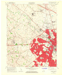 1965 Lexington West1967 Print · USGSMid-century Fayette County is shown here during a decade of rapid suburban growth west of the city center. Genealogists and historians can trace the development of neighborhoods like Meadowthorpe or find family plots in the Lexington Cemetery and Calvary Cemetery.5 unique versions available
 - 1965 Map of Nicholasville, 1967 Print
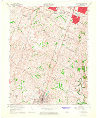 1965 Nicholasville1967 Print · USGSMid-century Fayette and Jessamine counties are captured here during a period of suburban growth south of Lexington. Genealogists and historians can trace the development of Stonewall Estates, locate the Blue Grass Raceway, or find the Waveland Museum.4 unique versions available
 - 1986 Map of Harrodsburg
 1986 Harrodsburg1986 Print · USGSCentral Kentucky in the mid-eighties reveals a landscape defined by the winding Kentucky River and the bustling county seats of the Bluegrass. Genealogists and historians can trace the evolution of Harrodsburg, Danville, and Nicholasville alongside the Lexington Blue Grass Army Depot.
 - 1986 Map of Lexington
 1986 Lexington1986 Print · USGSCentral Kentucky’s Bluegrass region is captured in the mid-eighties as urban centers like Lexington and Frankfort expand alongside deep-rooted rural hubs. Researchers can trace historic rail lines like the Southern Railway and find landmarks such as the Lexington Blue Grass Army Depot and Tacketts Mill.
 - 1991 Map of Harrodsburg
 1991 Harrodsburg1991 Print · USGSThe heart of the Bluegrass region comes alive in the late twentieth century, showing the deep river gorges and limestone uplands of central Kentucky. Genealogists and local historians can locate Shakertown, the sprawling Lexington Blue Grass Army Depot, and Berea College.
 - 2010 Map of Nicholasville, 2010 Print
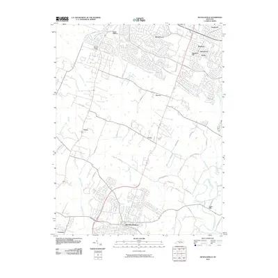 2010 Nicholasville2010 Print · USGSThe suburbs of Lexington meet the rural outskirts of Jessamine County in this early 21st-century portrait. Researchers can trace local development from the streets of Nicholasville to outlying communities such as Union Mills and Catnip.
 - 2010 Map of Lexington West, 2010 Print
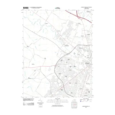 2010 Lexington West2010 Print · USGSWestern Lexington and the surrounding Fayette County horse country are shown in high detail during the early 2000s. Researchers can trace historic cemeteries like Lexington National Cemetery and explore the bounds of Keeneland Race Course and Blue Grass Airport.
 - 2013 Map of Lexington West, 2013 Print
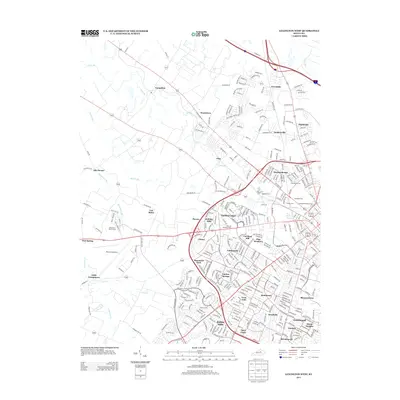 2013 Lexington West2013 Print · USGSLexington’s western suburbs and the iconic horse country meet in this recent survey of Fayette County. Genealogists and local historians can trace family roots through Lexington National Cem and Cove Haven Cem or locate early settlements like Yarnallton and Bracktown.
 - 2013 Map of Nicholasville, 2013 Print
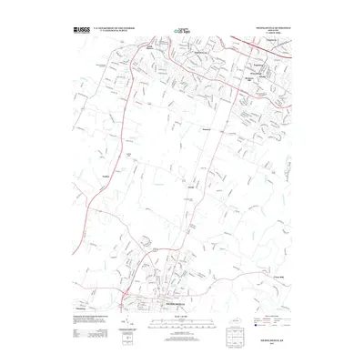 2013 Nicholasville2013 Print · USGSNicholasville and the southern Lexington suburbs appear in this modern survey during a period of significant residential growth. Genealogists and local historians can trace family-named landmarks like Cogars Spring and old crossroads near Union Mills or Catnip Hill.
 - 2016 Map of Nicholasville, 2016 Print
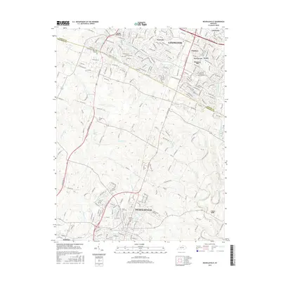 2016 Nicholasville2016 Print · USGSThe Bluegrass region between Lexington and Nicholasville is captured here during a period of suburban growth and landscape change. Researchers can trace family history through Locust Grove Cemetery or locate the old routes near Union Mills and Old Railroad Road.
 - 2016 Map of Lexington West, 2016 Print
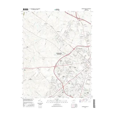 2016 Lexington West2016 Print · USGSLexington's western growth is on full display here in the mid-2010s, showcasing the expansion of residential neighborhoods into the Bluegrass countryside. Researchers can trace institutional footprints at the Univ of Kentucky and locate ancestral sites at Lexington National Cem or Calvary Cem.
 - 2019 Map of Lexington West, 2019 Print
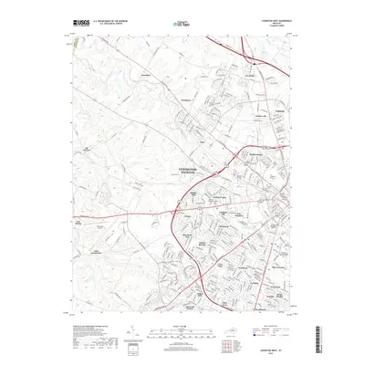 2019 Lexington West2019 Print · USGSThe western reaches of Lexington and Fayette County are shown in this modern survey during a period of significant suburban growth. Genealogists and historians can trace neighborhood developments and find landmarks like Blue Grass Airport, the Univ of Kentucky, and The Lexington Cem.
 - 2019 Map of Nicholasville, 2019 Print
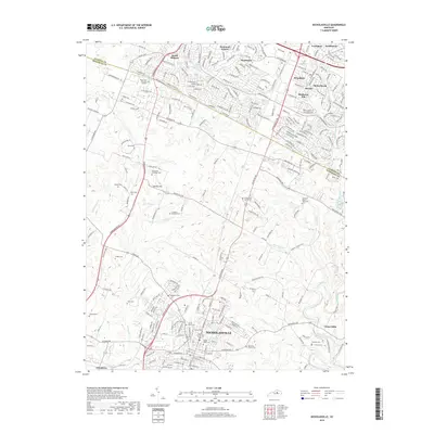 2019 Nicholasville2019 Print · USGSNicholasville and the southern suburbs of Lexington are captured here during a period of significant regional growth. Researchers can trace dozens of small family burial sites like the Dickerson Family Cemetery and historic rural corners such as Union Mills and Catnip Hill.
Showing maps 1-25 of 27
Frequently asked questions
- What are the different types of historical maps available for Deerfield?
- What is the oldest map of Deerfield?
- Where can I purchase historical maps of Deerfield for my home or office?
- Where can I download high-res historical maps of Deerfield?
- Are there historical topographic maps available for Deerfield?
- Is there historical aerial imagery available for Deerfield?
- Where are historical maps of Deerfield sourced from?