Old Maps of Jimtown, Lexington
Explore 17 old maps of Jimtown, spanning from 1927 to today. These high-resolution historic maps reveal how streets, neighborhoods, landmarks, and natural features evolved over time — perfect for genealogy, metal detecting, research, and local history exploration.
What you can do with these maps:
- See how Jimtown changed over time: Compare historical maps to modern-day views to trace roads, homesites, rail lines & more.
- View detailed metadata: Each map includes creators, publishers, year, scale, and archive source.
- Overlay maps with satellite & LiDAR: Visualize the past alongside modern tools to explore terrain & human change.
- Trusted historical sources: Maps sourced from the USGS, Library of Congress, and other archives.
- Access maps your way: View online, download high-res files, or order prints for personal or research use.
Start exploring old maps of Jimtown to uncover forgotten places, hidden landmarks, and the deep history beneath your feet.
Jimtown, Lexington maps
(17)- 1927 Map of Lexington
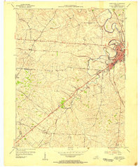
 1927 Lexington1927 Print · USGSCentral Kentucky's Bluegrass region in the late twenties was a landscape of influential pikes and rural rail junctions. Genealogists can trace family-named settlements like Mattoxtown and Uttingertown or find local landmarks like Antioch Ch.
 - 1929 Map of Lexington
 1929 Lexington1929 Print · USGSThe heart of the Kentucky Bluegrass comes to life in the late twenties, centered on the growing urban hubs of Lexington and Paris. Researchers can locate ancestral crossroads and rural institutions like Russell Cave Sch, Antioch Ch, and the grounds of Elmendorf.2 unique versions available
 - 1954 Map of Paris West, 1955 Print
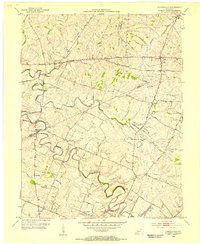
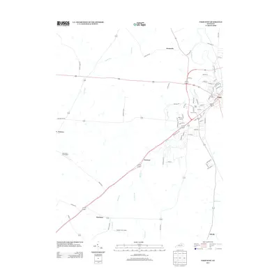
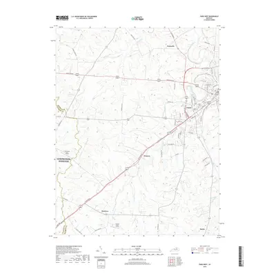
 1954 Paris West1955 Print · USGSThe Bluegrass country of Bourbon County is shown here in the mid-1950s, centered on the growing town of Paris. Genealogists can trace family footprints through rural landmarks like Elizabeth Station, Hopewell Ch, and Mt Olive Cem along the historic rail lines.4 unique versions available
 - 1954 Map of Centerville, 1955 Print
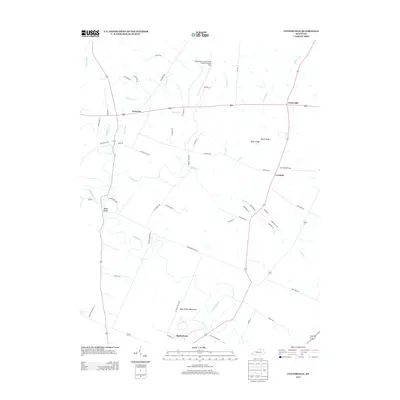
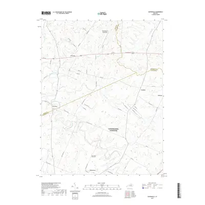
 1954 Centerville1955 Print · USGSMid-century central Kentucky comes alive in this survey of the Bluegrass region at the intersection of Scott, Bourbon, and Fayette counties. Trace the paths of historic hamlets like Newtown and New Zion, or locate the Man-O-War Monument and the old Lemons Mill.4 unique versions available
 - 1956 Map of Louisville, 1971 Print
 1956 Louisville1971 Print · USGSThe Ohio River valley and the Kentucky Bluegrass are captured here during a period of rapid mid-century growth and industrial activity. Genealogists and historians can trace rail-centered towns and military land use at Fort Knox and the Jefferson Proving Ground.2 unique versions available
 - 1964 Map of Louisville
 1964 Louisville1964 Print · USGSThe Ohio River valley and Kentucky Bluegrass are captured in the mid-1960s, showing a region balanced between industrial growth and its agrarian roots. Genealogists and historians can trace the development of county seats like Shelbyville and Paris, or locate established institutions such as Georgetown College and Bernheim Forest.
 - 1986 Map of Lexington
 1986 Lexington1986 Print · USGSCentral Kentucky’s Bluegrass region is captured in the mid-eighties as urban centers like Lexington and Frankfort expand alongside deep-rooted rural hubs. Researchers can trace historic rail lines like the Southern Railway and find landmarks such as the Lexington Blue Grass Army Depot and Tacketts Mill.
 - 2010 Map of Centerville, 2010 Print
 2010 Centerville2010 Print · USGSCovers Jimtown, including Lexington, New Zion, and other nearby areas
 - 2010 Map of Paris West, 2010 Print
 2010 Paris West2010 Print · USGSCovers Jimtown, including Lexington, Paris, and other nearby areas
 - 2013 Map of Paris West, 2013 Print
 2013 Paris West2013 Print · USGSCovers Jimtown, including Lexington, Paris, and other nearby areas
 - 2013 Map of Centerville, 2013 Print
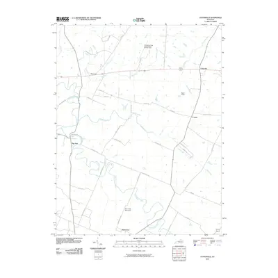
 2013 Centerville2013 Print · USGSCovers Jimtown, including Lexington, New Zion, and other nearby areas
 - 2016 Map of Centerville, 2016 Print
 2016 Centerville2016 Print · USGSCovers Jimtown, including Lexington, New Zion, and other nearby areas
 - 2016 Map of Paris West, 2016 Print
 2016 Paris West2016 Print · USGSCovers Jimtown, including Lexington, Paris, and other nearby areas
 - 2019 Map of Centerville, 2019 Print
 2019 Centerville2019 Print · USGSCovers Jimtown, including Lexington, New Zion, and other nearby areas
 - 2019 Map of Paris West, 2019 Print
 2019 Paris West2019 Print · USGSCovers Jimtown, including Lexington, Paris, and other nearby areas
 - 2022 Map of Centerville, 2022 Print
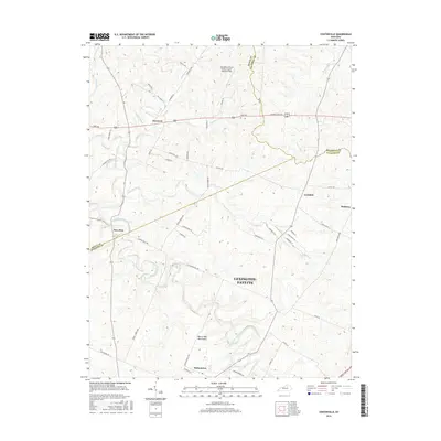
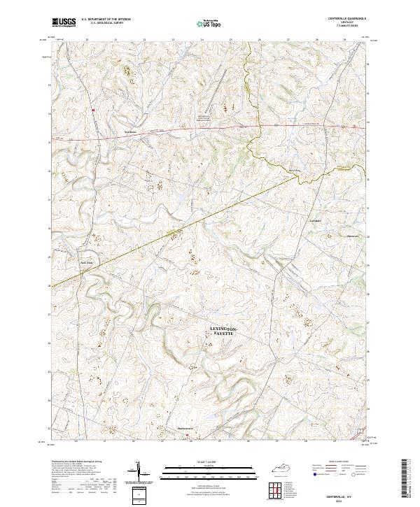 2022 Centerville2022 Print · USGSCentral Kentucky's rural horse country is mapped in detail during the early 2020s, showing the intersection of Scott, Bourbon, and Fayette Counties. Trace the small settlements of New Zion, Mattoxtown, and Jimtown along historic routes like Newtown Pike.
 - 2022 Map of Paris West, 2022 Print
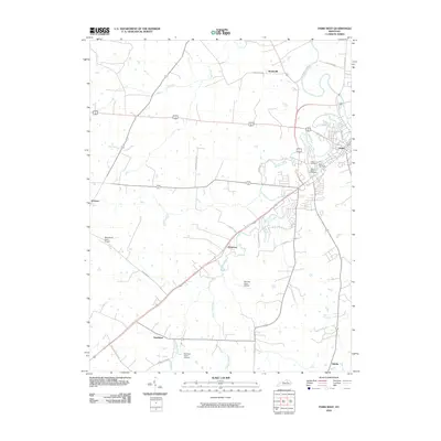
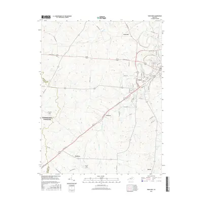
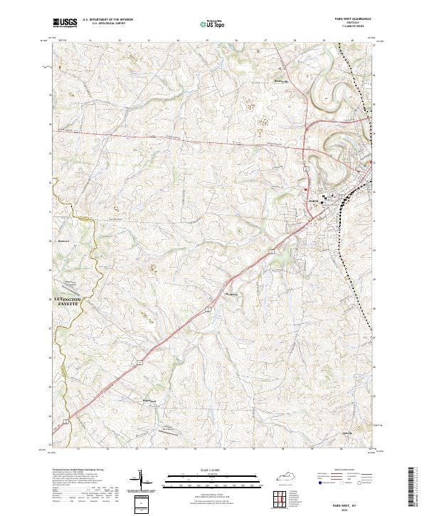 2022 Paris West2022 Print · USGSThe rolling horse country of Bourbon County is captured here in the early 2020s, centered on the community of Paris. Genealogists and local historians can trace burial sites like Mount Olivet Catholic Cemetery or locate rural hubs like Jimtown and Hutchison.
End of results
Showing maps 1-17 of 17
Frequently asked questions
- What are the different types of historical maps available for Jimtown?
- What is the oldest map of Jimtown?
- Where can I purchase historical maps of Jimtown for my home or office?
- Where can I download high-res historical maps of Jimtown?
- Are there historical topographic maps available for Jimtown?
- Is there historical aerial imagery available for Jimtown?
- Where are historical maps of Jimtown sourced from?