Old Maps of Lexington, Kentucky
Explore 42 old maps of Lexington, spanning from 1892 to today. These high-resolution historic maps reveal how streets, neighborhoods, landmarks, and natural features evolved over time — perfect for genealogy, metal detecting, research, and local history exploration.
What you can do with these maps:
- See how Lexington changed over time: Compare historical maps to modern-day views to trace roads, homesites, rail lines & more.
- View detailed metadata: Each map includes creators, publishers, year, scale, and archive source.
- Overlay maps with satellite & LiDAR: Visualize the past alongside modern tools to explore terrain & human change.
- Trusted historical sources: Maps sourced from the USGS, Library of Congress, and other archives.
- Access maps your way: View online, download high-res files, or order prints for personal or research use.
Start exploring old maps of Lexington to uncover forgotten places, hidden landmarks, and the deep history beneath your feet.
Lexington, KY maps
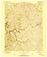
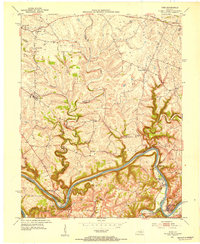
(42)- 1892 Map of Richmond
 1892 Richmond1892 Print · USGSCovers Lexington, including Richmond, Winchester, and other nearby areas
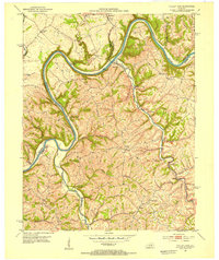
 - 1897 Map of Richmond
 1897 Richmond1897 Print · USGSCovers Lexington, including Richmond, Winchester, and other nearby areas5 unique versions available
 - 1905 Map of Harrodsburg
 1905 Harrodsburg1905 Print · USGSCovers Lexington, including Nicholasville, Danville, and other nearby areas3 unique versions available
 - 1906 Map of Georgetown, 1954 Print
 1906 Georgetown1954 Print · USGSCovers Lexington, including Georgetown, Versailles, and other nearby areas
 - 1908 Map of Georgetown
 1908 Georgetown1908 Print · USGSCovers Lexington, including Georgetown, Versailles, and other nearby areas2 unique versions available
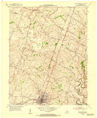
 - 1927 Map of Lexington
 1927 Lexington1927 Print · USGSCovers Lexington, including Paris, Monterey, and other nearby areas
 - 1929 Map of Lexington
 1929 Lexington1929 Print · USGSCovers Lexington, including Paris, Monterey, and other nearby areas2 unique versions available
 - 1950 Map of Lexington East, 1952 Print
 1950 Lexington East1952 Print · USGSCovers Lexington, including Chevy Chase, Hollywood, and other nearby areas
 - 1950 Map of Lexington West, 1952 Print
 1950 Lexington West1952 Print · USGSCovers Lexington, including Highlands, Elk Chester, and other nearby areas
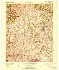
 - 1952 Map of Keene, 1953 Print
 1952 Keene1953 Print · USGSCovers Lexington, including Nicholasville, Wilmore, and other nearby areas3 unique versions available
 - 1952 Map of Valley View, 1953 Print
 1952 Valley View1953 Print · USGSCovers Lexington, including Newby, Logana, and other nearby areas3 unique versions available
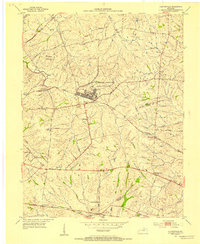
 - 1952 Map of Nicholasville, 1953 Print
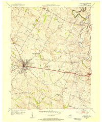
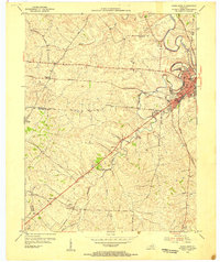
 1952 Nicholasville1953 Print · USGSCovers Lexington, including Nicholasville, Union Mills, and other nearby areas
 - 1952 Map of Coletown, 1953 Print
 1952 Coletown1953 Print · USGSCovers Lexington, including Southeastern Hills, Coletown, and other nearby areas
 - 1952 Map of Clintonville, 1953 Print
 1952 Clintonville1953 Print · USGSCovers Lexington, including Wyandotte, Avon, and other nearby areas
 - 1952 Map of Ford, 1954 Print
 1952 Ford1954 Print · USGSCovers Lexington, including Athens, Lisletown, and other nearby areas
 - 1952 Map of Richmond North, 1954 Print
 1952 Richmond North1954 Print · USGSCovers Lexington, including Richmond, Hillcrest, and other nearby areas
 - 1954 Map of Lexington East, 1955 Print
 1954 Lexington East1955 Print · USGSCovers Lexington, including Chevy Chase, Hollywood, and other nearby areas
 - 1954 Map of Versailles, 1955 Print
 1954 Versailles1955 Print · USGSCovers Lexington, including Versailles, Zion Hill, and other nearby areas
 - 1954 Map of Paris West, 1955 Print
 1954 Paris West1955 Print · USGSCovers Lexington, including Paris, Monterey, and other nearby areas4 unique versions available
 - 1954 Map of Centerville, 1955 Print
 1954 Centerville1955 Print · USGSCovers Lexington, including Loradale, Centerville, and other nearby areas4 unique versions available
 - 1954 Map of Georgetown, 1955 Print
 1954 Georgetown1955 Print · USGSCovers Lexington, including Georgetown, Clabber Bottom, and other nearby areas
 - 1955 Map of Lexington West, 1956 Print
 1955 Lexington West1956 Print · USGSCovers Lexington, including Highlands, Elk Chester, and other nearby areas
 - 1956 Map of Louisville, 1971 Print
 1956 Louisville1971 Print · USGSCovers Lexington, including Louisville, Jeffersonville, and other nearby areas2 unique versions available
 - 1957 Map of Winchester, 1968 Print
 1957 Winchester1968 Print · USGSCovers Lexington, including Louisville, Richmond, and other nearby areas3 unique versions available
 - 1959 Map of Lexington East, 1960 Print
 1959 Lexington East1960 Print · USGSCovers Lexington, including Chevy Chase, Hollywood, and other nearby areas
Showing maps 1-25 of 42
Top cities near Lexington
- Georgetown historical maps
- Nicholasville historical maps
- Paris historical maps
- Wilmore historical maps
- Midway historical maps
- Zion Hill historical maps
Top neighborhoods of Lexington
- Pinehurst historical maps
- Bracktown historical maps
- Brighton historical maps
- Cadentown historical maps
- Dixie Plantation historical maps
- Elkhorn Parks historical maps
See more
Frequently asked questions
- What are the different types of historical maps available for Lexington?
- What is the oldest map of Lexington?
- Where can I purchase historical maps of Lexington for my home or office?
- Where can I download high-res historical maps of Lexington?
- Are there historical topographic maps available for Lexington?
- Is there historical aerial imagery available for Lexington?
- Where are historical maps of Lexington sourced from?