Old Maps of Argillite, Kentucky
Explore 12 old maps of Argillite, spanning from 1903 to today. These high-resolution historic maps reveal how streets, neighborhoods, landmarks, and natural features evolved over time — perfect for genealogy, metal detecting, research, and local history exploration.
What you can do with these maps:
- See how Argillite changed over time: Compare historical maps to modern-day views to trace roads, homesites, rail lines & more.
- View detailed metadata: Each map includes creators, publishers, year, scale, and archive source.
- Overlay maps with satellite & LiDAR: Visualize the past alongside modern tools to explore terrain & human change.
- Trusted historical sources: Maps sourced from the USGS, Library of Congress, and other archives.
- Access maps your way: View online, download high-res files, or order prints for personal or research use.
Start exploring old maps of Argillite to uncover forgotten places, hidden landmarks, and the deep history beneath your feet.
Argillite, KY maps
(12)- 1903 Map of Kenova
 1903 Kenova1903 Print · USGSThe tri-state river junction at Ashland and Kenova was a bustling industrial hub after the turn of the century. Trace early rail lines and mining settlements like Coalton and Boghead, or locate family landmarks along the Little Sandy River and Means Tunnel.5 unique versions available
 - 1904 Map of Kenova
 1904 Kenova1904 Print · USGSThe tri-state confluence of the Ohio River and Big Sandy River hums with early industrial activity at the start of the century. Genealogists can trace rail-side settlements and remote homesteads along Blaine Creek and near Mt Savage or Webbville.
 - 1953 Map of Argillite, 1955 Print
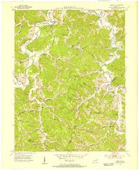 1953 Argillite1955 Print · USGSGreenup and Boyd County during the early fifties show a rural landscape transitioning between the old iron furnace era and modern coal mining. Genealogists can trace family landmarks like Reeves Cem and Howard Cem alongside numerous country schools such as Palmyra Sch and Montgomery Sch.
 - 1957 Map of Huntington, 1966 Print
 1957 Huntington1966 Print · USGSThe industrial heart of the Ohio River valley is captured here in the mid-sixties, showing the growth of Huntington and Ashland. Researchers can trace the extensive rail networks of the Chesapeake and Ohio RR and locate sites like the Chief Cornstalk Hunting Ground.3 unique versions available
 - 1960 Map of Huntington
 1960 Huntington1960 Print · USGSThe tri-state river valley thrived in the late fifties as a hub of heavy industry and Appalachian rail transit. Genealogists and historians can trace the connection between river towns like Ashland and Portsmouth or locate family homesteads near Coleman Ridge.
 - 1972 Map of Argillite, 1973 Print
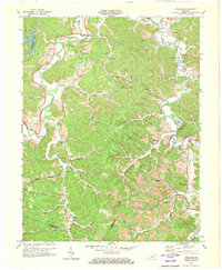 1972 Argillite1973 Print · USGSGreenup County settlement and industry are in clear view during the early 1970s, from the valley at Argillite to the ridgeline Strip Mines. Genealogists and historians can trace the Furnace Ruins at Hunnewell and dozens of family sites like Reeves Cem and the Danleyton Sch.2 unique versions available
 - 1982 Map of Huntington, 1983 Print
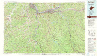 1982 Huntington1983 Print · USGSThe tri-state region around Huntington and Ashland is shown in the early 1980s, documenting a landscape shaped by river commerce and coal-country railroads. Trace family roots and old routes through Barboursville, the Gas Field, and the Tug Fork valley.
 - 2010 Map of Argillite, 2010 Print
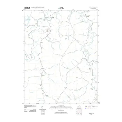 2010 Argillite2010 Print · USGSThe valleys of Greenup County are shown here in the early twenty-first century, centered on the Little Sandy River. Researchers can trace local heritage through sites like the Hunnewell Cemetery, the Argillite Lookout Tower, and the settlement at Danleyton.
 - 2013 Map of Argillite, 2013 Print
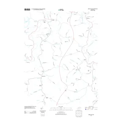 2013 Argillite2013 Print · USGSGreenup County at the turn of the millennium remains a landscape of deep hollows and family-named landmarks along the Little Sandy River. Researchers can trace ancestral roots through numerous burial sites like Hunnewell Cem or locate old community hubs at Argillite and Naples.
 - 2016 Map of Argillite, 2016 Print
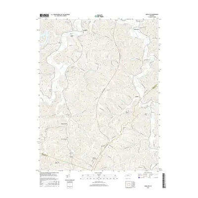 2016 Argillite2016 Print · USGSGreenup County's winding river valleys and ridge-top settlements are captured here in the mid-2010s. Researchers can locate numerous family burial sites and historic communities, from the northern bend at Argillite to the hollows around Hunnewell and Kirby Flats.
 - 2019 Map of Argillite, 2019 Print
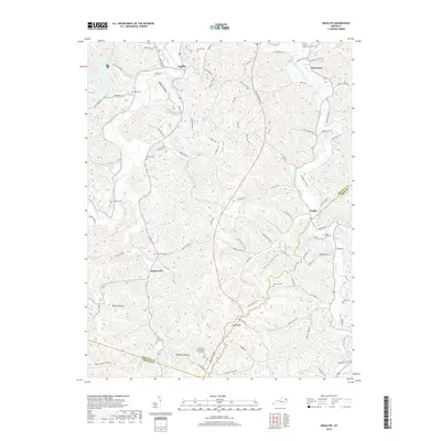 2019 Argillite2019 Print · USGSGreenup County at the close of the 2010s shows a landscape of deep hollows and high knobs shaped by the Little Sandy River. Local historians can trace family burial sites like Reeves Cem and Hunnewell Cem or locate settlements at Argillite and Kirby Flats.
 - 2023 Map of Argillite, 2023 Print
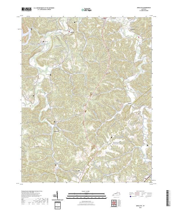 2023 Argillite2023 Print · USGSGreenup and Boyd Counties are shown here in the 2020s, where the Little Sandy River cuts through a landscape of deep hollows. Researchers can trace family history at the Kentucky Veterans Cem Northeast or explore the settlements of Argillite and Hunnewell.
End of results
Showing maps 1-12 of 12
Top cities near Argillite
- Ashland historical maps
- Ironton historical maps
- Flatwoods historical maps
- Grayson historical maps
- Russell historical maps
- Lawrence historical maps
See more
Frequently asked questions
- What are the different types of historical maps available for Argillite?
- What is the oldest map of Argillite?
- Where can I purchase historical maps of Argillite for my home or office?
- Where can I download high-res historical maps of Argillite?
- Are there historical topographic maps available for Argillite?
- Is there historical aerial imagery available for Argillite?
- Where are historical maps of Argillite sourced from?