Old Maps of Carr Creek, Kentucky for Metal Detecting
Plan your next treasure hunt with 14 historic maps of Carr Creek. Find old homesites, ghost towns, trails, and gathering spots that may be lost to time — perfect for identifying promising metal detecting locations.
- Locate forgotten sites: Uncover places like long-lost settlements, abandoned rail lines, or gathering spots.
- Plan better hunts: Use map overlays combined with LiDAR or satellite views to narrow in on historically rich areas.
- Made for detectorists: Thousands of hobbyists use these maps to discover relics, coins, and hidden history.
Use these historic maps to boost your research and find new opportunities beneath the surface of Carr Creek.
Carr Creek, KY maps
(14)- 1890 Map of Whitesburg
 1890 Whitesburg1890 Print · USGSThe Cumberland Plateau in the 1880s is a world of deep hollows and isolated mountain settlements. Genealogists can trace family roots in early communities like Whitesburgh and Pikeville or locate crossings at Pound Gap and Shelby Gap.
 - 1892 Map of Whitesburg
 1892 Whitesburg1892 Print · USGSEastern Kentucky and the Virginia borderlands appear here in the late nineteenth century as a landscape of isolated mountain hollows. Genealogists and historians can trace early family settlements along Kingdom Come Creek, Beef Hide, and the strategic passage at Pound Gap.4 unique versions available
 - 1913 Map of Oven Fork
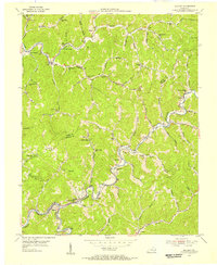
 1913 Oven Fork1913 Print · USGSLetcher County's steep ridges and narrow hollows are shown here in the early twentieth century, just as the Lexington and Eastern Ry arrived. Genealogists can trace family settlements from Whitesburg to Blackey, and locate early schools and landmarks like Campbranch Chapel or Pound Gap.
 - 1915 Map of Whitesburg
 1915 Whitesburg1915 Print · USGSLetcher County at the start of the twentieth century shows a landscape of deep hollows and growing rail towns. Genealogists can trace family roots through numerous numbered schoolhouses and settlements like Whitesburg, Blackey, and Indian Bottom.4 unique versions available
 - 1954 Map of Blackey, 1956 Print
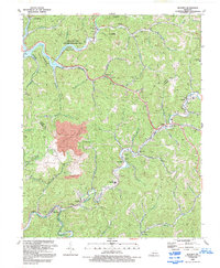
 1954 Blackey1956 Print · USGSCumberland Plateau coal towns and hollows are captured here in the mid-1950s as the railroad and creeks still dictated the rhythm of daily life. Researchers can trace family roots through numerous country schools and landmarks like Carbon Glow, Hot Spot, and Indian Bottom Ch.4 unique versions available
 - 1957 Map of Jenkins, 1974 Print
 1957 Jenkins1974 Print · USGSThe Cumberland Plateau in the mid-twentieth century reveals a complex landscape of winding river valleys and deep-seated industry. Genealogists and historians can trace the development of Hazard, Jenkins, and Pikeville alongside extensive Numerous Oil and Gas Fields and the routes of the Chesapeake & Ohio Railway.
 - 1960 Map of Jenkins
 1960 Jenkins1960 Print · USGSEastern Kentucky and the West Virginia borderlands are captured at a mid-century peak of the coal and rail era. Trace the industrial corridors of the Chesapeake and Ohio RR through mountain hubs like Hazard and Jenkins.
 - 1977 Map of Pikeville, 1983 Print
 1977 Pikeville1983 Print · USGSThe Central Appalachian coalfields and the rugged borders of Kentucky and Virginia come into focus during the late seventies. Researchers can trace the rail networks of the C & O and L & N through towns like Jenkins, Whitesburg, and Pikeville.
 - 1992 Map of Blackey
 1992 Blackey1992 Print · USGSEastern Kentucky's coal country and the winding North Fork river valleys are captured here in the early nineties. Researchers can locate the Letcher Co High Sch, trace family sites near Carcassonne, and see the impact of the strip mine at Carbon Glow.
 - 2010 Map of Blackey, 2010 Print
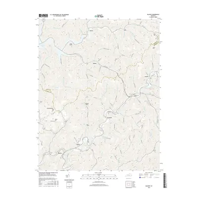
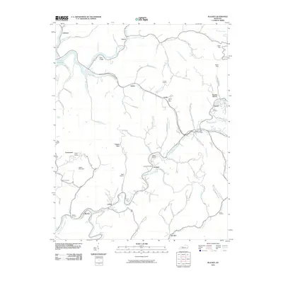 2010 Blackey2010 Print · USGSCovers Carr Creek, including Blackey, Jeremiah, and other nearby areas
 - 2013 Map of Blackey, 2013 Print
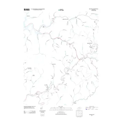 2013 Blackey2013 Print · USGSCovers Carr Creek, including Blackey, Jeremiah, and other nearby areas
 - 2016 Map of Blackey, 2016 Print
 2016 Blackey2016 Print · USGSCovers Carr Creek, including Blackey, Jeremiah, and other nearby areas
 - 2019 Map of Blackey, 2019 Print
 2019 Blackey2019 Print · USGSCovers Carr Creek, including Blackey, Jeremiah, and other nearby areas
 - 2022 Map of Blackey, 2022 Print
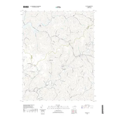
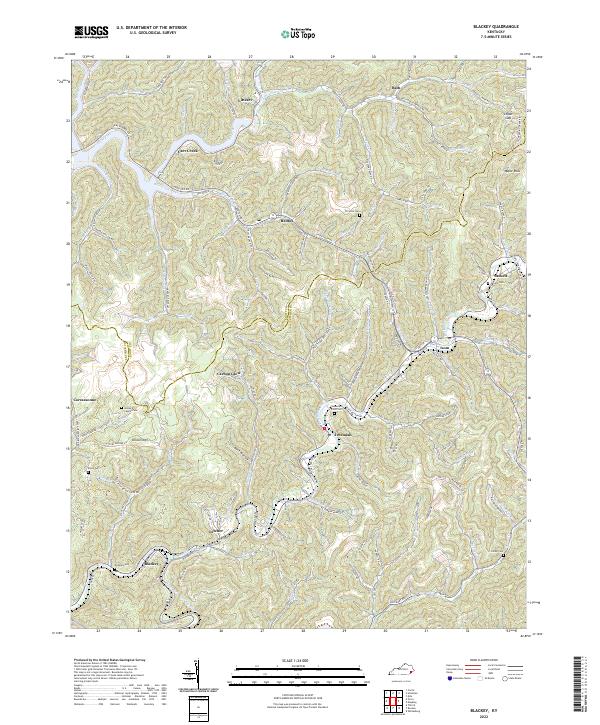 2022 Blackey2022 Print · USGSThe coal country of Knott and Letcher counties is captured here in the early twenty-first century, showing the enduring hollows of the Cumberland Plateau. Researchers can trace family roots at the James D Caudill Cem, Horse Mill Point Cem, or in communities like Carbon Glow.
End of results
Showing maps 1-14 of 14
Top cities near Carr Creek
- Hazard historical maps
- Whitesburg historical maps
- Hindman historical maps
- Pippa Passes historical maps
- Vicco historical maps
- Wayland historical maps
See more
Frequently asked questions
- What are the different types of historical maps available for Carr Creek?
- What is the oldest map of Carr Creek?
- Where can I purchase historical maps of Carr Creek for my home or office?
- Where can I download high-res historical maps of Carr Creek?
- Are there historical topographic maps available for Carr Creek?
- Is there historical aerial imagery available for Carr Creek?
- Where are historical maps of Carr Creek sourced from?