Old Maps of Pittsburg, Laurel County for Academic Research
Study the evolution of Pittsburg with 12 high-resolution historic maps. Whether you're teaching, researching, or modeling changes in land use, these maps provide essential visual documentation of urban, environmental, and geographic change.
- Analyze long-term change: Track patterns in development, transportation, and natural features.
- Ideal for environmental or urban studies: Support academic projects with primary historical map data.
- Use in the classroom or lab: Educators and researchers rely on these maps to bring historical context to life.
These maps are a powerful tool for teaching, research, and visualizing how Pittsburg has changed over the decades.
Pittsburg, Laurel County maps
(12)- 1893 Map of London
 1893 London1893 Print · USGSSoutheast Kentucky's plateau country was undergoing a railway-driven transformation in the early 1890s. Genealogists and local historians can trace family roots through numerous small communities like Broadhead, Gum Sulphur, and Altamont along the Louisville and Nashville Railroad.
 - 1897 Map of London
 1897 London1897 Print · USGSThe Kentucky interior near the close of the nineteenth century centers on the vital Louisville and Nashville Railroad corridor. Genealogists can trace early homesteads and rail stops from Mt. Vernon to Bee Lick and Hazlepatch.5 unique versions available
 - 1952 Map of London, 1954 Print
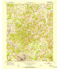 1952 London1954 Print · USGSLaurel County during the early 1950s was a landscape of expanding coal operations and established mountain communities. Researchers can trace the Louisville and Nashville rail lines through East Bernstadt and Pittsburg or locate rural landmarks like Sue Bennett College and Landrum Cem.2 unique versions available
 - 1957 Map of Winchester, 1968 Print
 1957 Winchester1968 Print · USGSCentral Kentucky's landscape in the mid-twentieth century features the sprawling Fort Knox and the early parkway system. Genealogists and historians can trace rail lines like the Southern Railway and find landmarks from Bernheim Forest to Pilot Knob.3 unique versions available
 - 1960 Map of Winchester
 1960 Winchester1960 Print · USGSCentral Kentucky's diverse landscape is shown here at mid-century, from the bluegrass plains to the rugged Pottsville Escarpment. Genealogists and historians can trace the rail-and-river network connecting towns like Bardstown and Stanford alongside landmarks like Lake Cumberland.
 - 1969 Map of London, 1972 Print
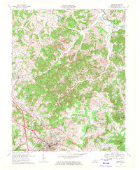 1969 London1972 Print · USGSLaurel County's transition from traditional rail towns to the modern parkway era is evident in the late sixties. Trace family history through Old Salem Cem, White Oak Sch, and the riverside community of McWhorter.2 unique versions available
 - 1982 Map of Somerset, 1983 Print
 1982 Somerset1983 Print · USGSThe Lake Cumberland region and the Daniel Boone National Forest appear here in the early eighties. Researchers can trace rural lineages through Broughtontown, Science Hill, and Sinking Valley Church while exploring the rail lines of the Southern Railway.
 - 2011 Map of London, 2011 Print
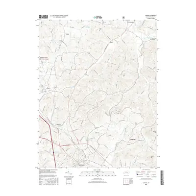
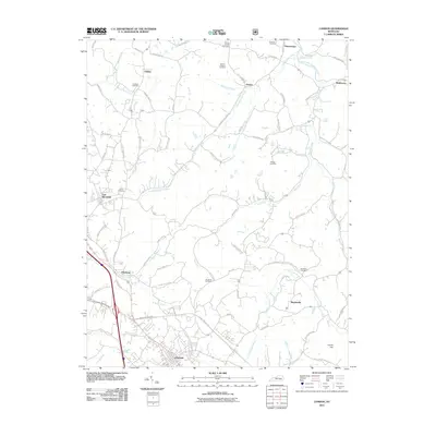 2011 London2011 Print · USGSCovers Pittsburg, including London, East Bernstadt, and other nearby areas
 - 2013 Map of London, 2013 Print
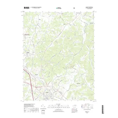
 2013 London2013 Print · USGSCovers Pittsburg, including London, East Bernstadt, and other nearby areas
 - 2016 Map of London, 2016 Print
 2016 London2016 Print · USGSCovers Pittsburg, including London, East Bernstadt, and other nearby areas
 - 2019 Map of London, 2019 Print
 2019 London2019 Print · USGSCovers Pittsburg, including London, East Bernstadt, and other nearby areas
 - 2022 Map of London, 2022 Print
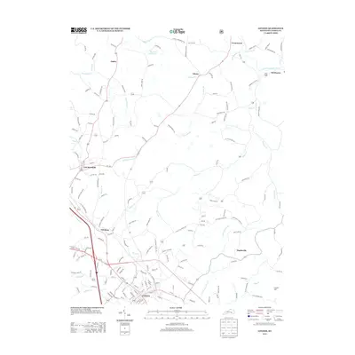
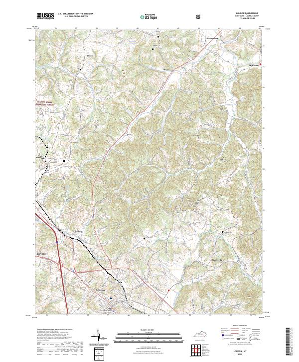 2022 London2022 Print · USGSLondon and the surrounding Laurel County landscape are captured in this recent survey. Local researchers can trace family roots through numerous cemeteries like Mount Carmel Cem or explore the rural hubs of East Bernstadt and Maplesville.
End of results
Showing maps 1-12 of 12
Frequently asked questions
- What are the different types of historical maps available for Pittsburg?
- What is the oldest map of Pittsburg?
- Where can I purchase historical maps of Pittsburg for my home or office?
- Where can I download high-res historical maps of Pittsburg?
- Are there historical topographic maps available for Pittsburg?
- Is there historical aerial imagery available for Pittsburg?
- Where are historical maps of Pittsburg sourced from?