Old Maps of Blaine, Kentucky for Metal Detecting
Plan your next treasure hunt with 17 historic maps of Blaine. Find old homesites, ghost towns, trails, and gathering spots that may be lost to time — perfect for identifying promising metal detecting locations.
- Locate forgotten sites: Uncover places like long-lost settlements, abandoned rail lines, or gathering spots.
- Plan better hunts: Use map overlays combined with LiDAR or satellite views to narrow in on historically rich areas.
- Made for detectorists: Thousands of hobbyists use these maps to discover relics, coins, and hidden history.
Use these historic maps to boost your research and find new opportunities beneath the surface of Blaine.
Blaine, KY maps
(17)- 1903 Map of Kenova
 1903 Kenova1903 Print · USGSThe tri-state river junction at Ashland and Kenova was a bustling industrial hub after the turn of the century. Trace early rail lines and mining settlements like Coalton and Boghead, or locate family landmarks along the Little Sandy River and Means Tunnel.5 unique versions available
 - 1904 Map of Kenova
 1904 Kenova1904 Print · USGSThe tri-state confluence of the Ohio River and Big Sandy River hums with early industrial activity at the start of the century. Genealogists can trace rail-side settlements and remote homesteads along Blaine Creek and near Mt Savage or Webbville.
 - 1953 Map of Mazie, 1955 Print
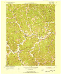
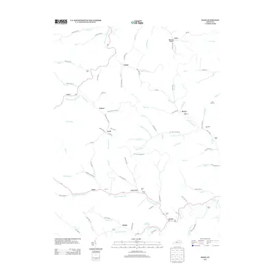
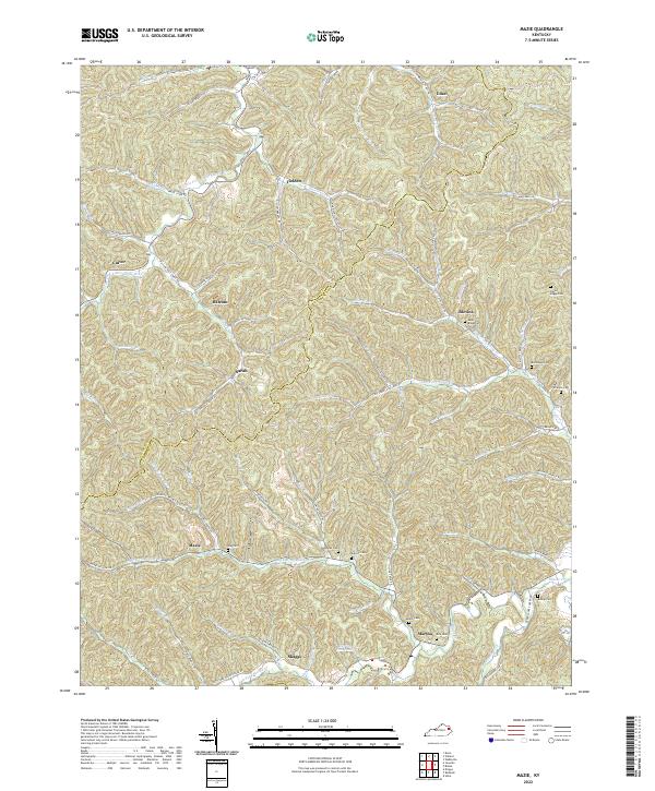
 1953 Mazie1955 Print · USGSLawrence and Elliott Counties in the early 1950s reveal a landscape of ridge-top farms and creek-bottom communities. Genealogists can locate family landmarks like the Jason Boggs Cemetery, Mazie Church, and the widespread Gas and Oil Field.3 unique versions available
 - 1953 Map of Blaine, 1955 Print
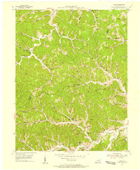
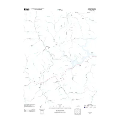
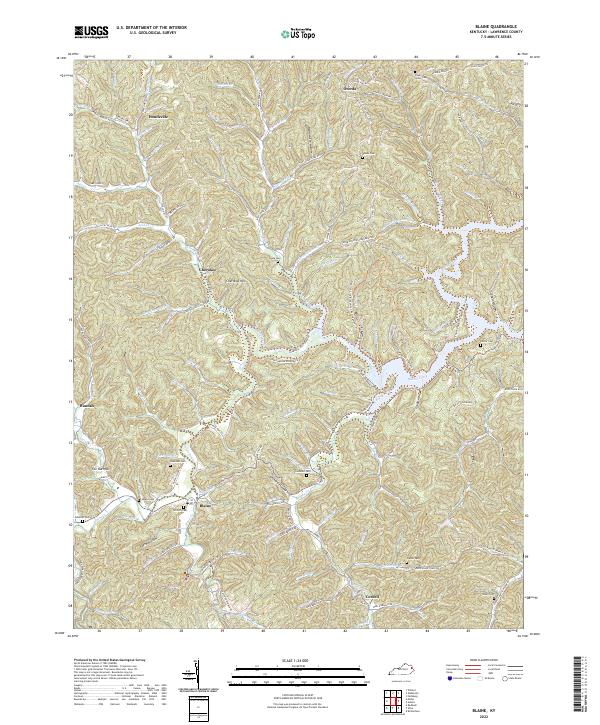
 1953 Blaine1955 Print · USGSLawrence County's winding creek valleys and ridge-top communities are captured here in the early 1950s. Researchers can locate numerous local landmarks like Low Gap Ch, Houckville, and the Lookout Tower standing atop Clevenger Knob.4 unique versions available
 - 1957 Map of Huntington, 1966 Print
 1957 Huntington1966 Print · USGSThe industrial heart of the Ohio River valley is captured here in the mid-sixties, showing the growth of Huntington and Ashland. Researchers can trace the extensive rail networks of the Chesapeake and Ohio RR and locate sites like the Chief Cornstalk Hunting Ground.3 unique versions available
 - 1960 Map of Huntington
 1960 Huntington1960 Print · USGSThe tri-state river valley thrived in the late fifties as a hub of heavy industry and Appalachian rail transit. Genealogists and historians can trace the connection between river towns like Ashland and Portsmouth or locate family homesteads near Coleman Ridge.
 - 1982 Map of Huntington, 1983 Print
 1982 Huntington1983 Print · USGSThe tri-state region around Huntington and Ashland is shown in the early 1980s, documenting a landscape shaped by river commerce and coal-country railroads. Trace family roots and old routes through Barboursville, the Gas Field, and the Tug Fork valley.
 - 2010 Map of Blaine, 2010 Print
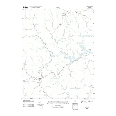 2010 Blaine2010 Print · USGSCovers Blaine, including Hannah, Houckville, and other nearby areas
 - 2010 Map of Mazie, 2010 Print
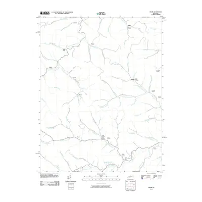 2010 Mazie2010 Print · USGSCovers Blaine, including Blaines Trace, Culver, and other nearby areas
 - 2013 Map of Blaine, 2013 Print
 2013 Blaine2013 Print · USGSCovers Blaine, including Hannah, Houckville, and other nearby areas
 - 2013 Map of Mazie, 2013 Print
 2013 Mazie2013 Print · USGSCovers Blaine, including Blaines Trace, Culver, and other nearby areas
 - 2016 Map of Blaine, 2016 Print
 2016 Blaine2016 Print · USGSCovers Blaine, including Hannah, Houckville, and other nearby areas
 - 2016 Map of Mazie, 2016 Print
 2016 Mazie2016 Print · USGSCovers Blaine, including Blaines Trace, Culver, and other nearby areas
 - 2019 Map of Blaine, 2019 Print
 2019 Blaine2019 Print · USGSCovers Blaine, including Hannah, Houckville, and other nearby areas
 - 2019 Map of Mazie, 2019 Print
 2019 Mazie2019 Print · USGSCovers Blaine, including Blaines Trace, Culver, and other nearby areas
 - 2022 Map of Blaine, 2022 Print
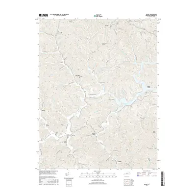
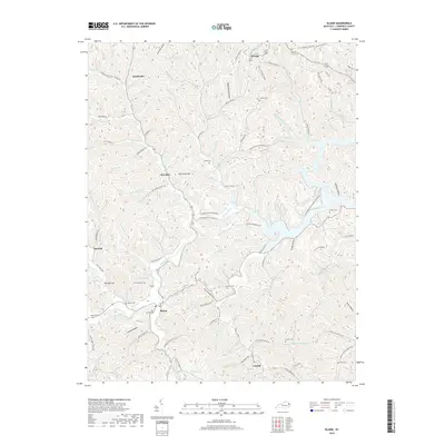
 2022 Blaine2022 Print · USGSLawrence County, Kentucky, is captured here in the early 2020s, showing a landscape defined by deep hollows and ancestral family settlements. Genealogists and local historians can locate numerous small burial sites including Swetnam Cem, Sparks Cem, and Hayes Cem near the town of Blaine.
 - 2022 Map of Mazie, 2022 Print
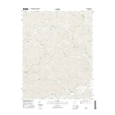
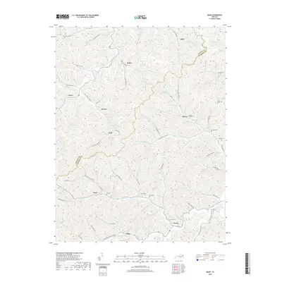
 2022 Mazie2022 Print · USGSThe borderlands of Elliott and Lawrence Counties in eastern Kentucky remain a network of narrow valleys and family settlements. Local researchers can trace family lines through numerous burial sites like Hay Cem, Sparks Cem, and the cluster of Boggs family cemeteries.
End of results
Showing maps 1-17 of 17
Top cities near Blaine
Frequently asked questions
- What are the different types of historical maps available for Blaine?
- What is the oldest map of Blaine?
- Where can I purchase historical maps of Blaine for my home or office?
- Where can I download high-res historical maps of Blaine?
- Are there historical topographic maps available for Blaine?
- Is there historical aerial imagery available for Blaine?
- Where are historical maps of Blaine sourced from?