Old Maps of Mount Sterling, Kentucky for Metal Detecting
Plan your next treasure hunt with 10 historic maps of Mount Sterling. Find old homesites, ghost towns, trails, and gathering spots that may be lost to time — perfect for identifying promising metal detecting locations.
- Locate forgotten sites: Uncover places like long-lost settlements, abandoned rail lines, or gathering spots.
- Plan better hunts: Use map overlays combined with LiDAR or satellite views to narrow in on historically rich areas.
- Made for detectorists: Thousands of hobbyists use these maps to discover relics, coins, and hidden history.
Use these historic maps to boost your research and find new opportunities beneath the surface of Mount Sterling.
Mount Sterling, KY maps
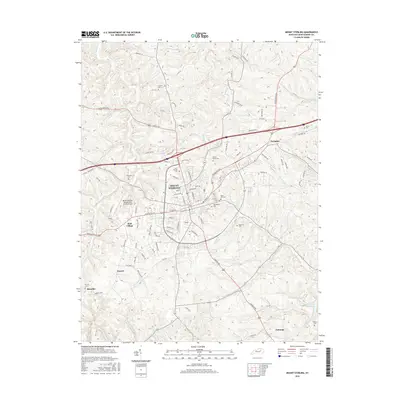
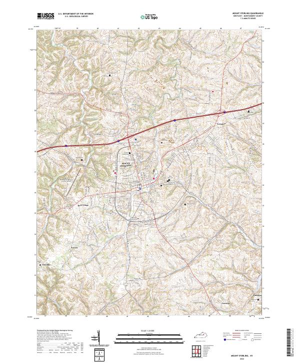
(10)- 1952 Map of Mount Sterling, 1953 Print
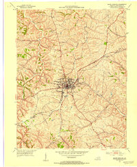 1952 Mount Sterling1953 Print · USGSMount Sterling and its Montgomery County environs are captured here in the early fifties during a period of steady mid-century growth. Researchers can trace ancestral locations near Ewington, locate family plots at Machpelah Cem, or follow the historic Midland Trail.
 - 1957 Map of Huntington, 1966 Print
 1957 Huntington1966 Print · USGSThe industrial heart of the Ohio River valley is captured here in the mid-sixties, showing the growth of Huntington and Ashland. Researchers can trace the extensive rail networks of the Chesapeake and Ohio RR and locate sites like the Chief Cornstalk Hunting Ground.3 unique versions available
 - 1960 Map of Huntington
 1960 Huntington1960 Print · USGSThe tri-state river valley thrived in the late fifties as a hub of heavy industry and Appalachian rail transit. Genealogists and historians can trace the connection between river towns like Ashland and Portsmouth or locate family homesteads near Coleman Ridge.
 - 1965 Map of Mount Sterling, 1966 Print
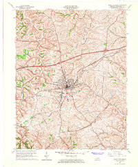 1965 Mount Sterling1966 Print · USGSMount Sterling during the mid-sixties transition shows a growing Kentucky community where the CHESAPEAKE AND OHIO railroad meets modern developments like Reid Village. Local researchers can locate historic family plots and landmarks, including Machpelah Cem, Mapleton Sch, and Klondike.2 unique versions available
 - 1982 Map of Morehead, 1983 Print
 1982 Morehead1983 Print · USGSThe foothills of northeastern Kentucky come alive in the early eighties, showcasing a landscape defined by timber, limestone caves, and major reservoirs. Local researchers can trace the development of Morehead State University or locate old crossings at Plummers Mill and Salt Lick.
 - 2010 Map of Mount Sterling, 2010 Print
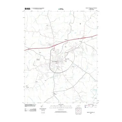 2010 Mount Sterling2010 Print · USGSCovers Mount Sterling, including Camargo, Ewington, and other nearby areas
 - 2013 Map of Mount Sterling, 2013 Print
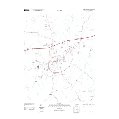 2013 Mount Sterling2013 Print · USGSCovers Mount Sterling, including Camargo, Ewington, and other nearby areas
 - 2016 Map of Mount Sterling, 2016 Print
 2016 Mount Sterling2016 Print · USGSCovers Mount Sterling, including Camargo, Ewington, and other nearby areas
 - 2019 Map of Mount Sterling, 2019 Print
 2019 Mount Sterling2019 Print · USGSCovers Mount Sterling, including Camargo, Ewington, and other nearby areas
 - 2022 Map of Mount Sterling, 2022 Print
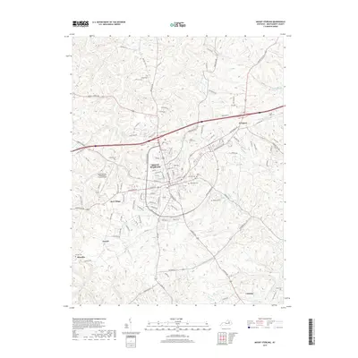
 2022 Mount Sterling2022 Print · USGSMount Sterling and the central Kentucky countryside are captured in this contemporary look at Montgomery County's evolving landscape. Genealogists can trace family heritage through sites like Machpelah Cem and Enoch Smith Cem or the rural settlement of Klondike.
End of results
Showing maps 1-10 of 10
Top cities near Mount Sterling
- Winchester historical maps
- Stanton historical maps
- Jeffersonville historical maps
- Owingsville historical maps
- Clay City historical maps
- Camargo historical maps
See more
Frequently asked questions
- What are the different types of historical maps available for Mount Sterling?
- What is the oldest map of Mount Sterling?
- Where can I purchase historical maps of Mount Sterling for my home or office?
- Where can I download high-res historical maps of Mount Sterling?
- Are there historical topographic maps available for Mount Sterling?
- Is there historical aerial imagery available for Mount Sterling?
- Where are historical maps of Mount Sterling sourced from?