Old Maps of Powderly, Kentucky for Academic Research
Study the evolution of Powderly with 23 high-resolution historic maps. Whether you're teaching, researching, or modeling changes in land use, these maps provide essential visual documentation of urban, environmental, and geographic change.
- Analyze long-term change: Track patterns in development, transportation, and natural features.
- Ideal for environmental or urban studies: Support academic projects with primary historical map data.
- Use in the classroom or lab: Educators and researchers rely on these maps to bring historical context to life.
These maps are a powerful tool for teaching, research, and visualizing how Powderly has changed over the decades.
Powderly, KY maps
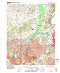
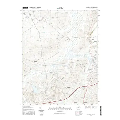
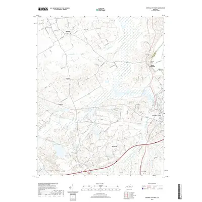
(23)- 1909 Map of Central City
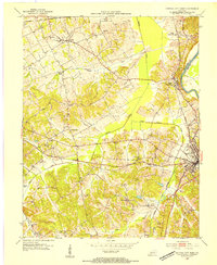
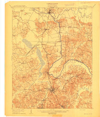 1909 Central City1909 Print · USGSWestern Kentucky's coal and river country comes alive in this early century survey of Muhlenberg, McLean, and Ohio counties. Researchers can trace historic river crossings at Kinchloe Ferry and Knotts Ferry or locate old community hubs like Shavers Chapel and Moorman.3 unique versions available
 - 1911 Map of Drakesboro
 1911 Drakesboro1911 Print · USGSMuhlenberg County was a landscape of dense rural school districts and emerging rail towns just before the Great War. Genealogists can trace family names through landmarks like Mays Store, Rhodes Chapel, and the uniquely named settlement of Lickskillet.
 - 1913 Map of Drakesboro
 1913 Drakesboro1913 Print · USGSMuhlenberg County in the early twentieth century was a bustling intersection of coal mining and major rail lines. Genealogists and historians can trace dozens of early rural schools and crossroads stores like Liberty Hill School, Belton Jost PO, and Dixon's Store.2 unique versions available
 - 1952 Map of Greenville, 1954 Print
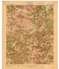
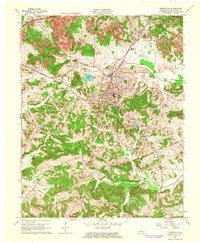
 1952 Greenville1954 Print · USGSGreenville and the surrounding Muhlenberg County coalfields are captured here in the early fifties during a period of heavy mineral extraction. Genealogists and historians can locate family landmarks such as Mc Johnson School, Evergreen Cemetery, and the Buck Knob Lookout Tower.
 - 1953 Map of Central City West, 1954 Print
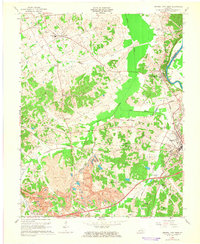
 1953 Central City West1954 Print · USGSWestern Muhlenberg County is documented here in the early fifties, showing the area as the local economy shifted toward industrial coal production. Genealogists can trace family roots through numerous country landmarks like Shavers Chapel, Midland Sch, and the Evergreen Cem near the Green River.
 - 1954 Map of Evansville
 1954 Evansville1954 Print · USGSThe Ohio River borderlands between Indiana and Kentucky appear here during a period of robust industrial and military growth. Genealogists and researchers can trace the rail corridors of the Illinois Central and find landmarks like US Lock and Dam No 48 or Camp Breckinridge.
 - 1957 Map of Evansville, 1969 Print
 1957 Evansville1969 Print · USGSIndiana and Kentucky meet along the Ohio River in this mid-century survey of a vital industrial and transport corridor. Genealogists and historians can trace the development of river towns like Owensboro and Newburgh or locate old rail lines like the Southern Ry.3 unique versions available
 - 1961 Map of Evansville
 1961 Evansville1961 Print · USGSThe Ohio River valley and its surrounding coalfields are captured here during the late fifties and early sixties. Trace the industrial rail networks of the Illinois Central RR and explore regional landmarks like Mammoth Cave National Park and Angel Mounds State Memorial.2 unique versions available
 - 1963 Map of Greenville, 1964 Print
 1963 Greenville1964 Print · USGSMuhlenberg County's coal and rail landscape is on full display in the early sixties as the modern parkway began to cut through the hills. Researchers can trace family history at the Old Liberty Cem, locate Central High Sch, or follow the industrial activity at various Strip Mines.4 unique versions available
 - 1963 Map of Central City West, 1965 Print
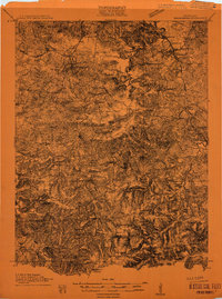
 1963 Central City West1965 Print · USGSWestern Kentucky coal country is revealed in the early 1960s as industrial surface mining transforms the traditional landscape. Researchers can trace historic church sites like Bethlehem Ch, old rail junctions at Mogg, and the sprawling operations of the Peabody Coal Company.4 unique versions available
 - 1983 Map of Madisonville, 1984 Print
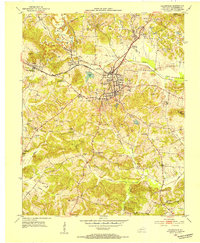
 1983 Madisonville1984 Print · USGSThe Western Kentucky coalfields and river valleys come into focus in the early eighties as the rail-and-river economy matured. Genealogists can trace family footprints across Dawson Springs, Mortons Gap, and Slaughters, or locate landmarks like Shake Rag Hills and Lake Malone.
 - 1997 Map of Greenville, 2001 Print
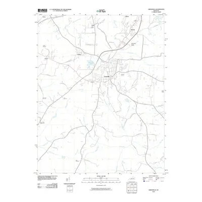
 1997 Greenville2001 Print · USGSMuhlenberg County in the late nineties showcases a landscape shaped by coal mining and established rural communities. Local historians can trace the footprint of mining operations alongside landmarks like Old Liberty Cem, Luzerne Lake, and the Agricultural Experimental Station.
 - 1997 Map of Central City West, 2001 Print
 1997 Central City West2001 Print · USGSMuhlenberg County in the late nineties showcases a complex balance of heavy coal production and extensive wildlife conservation. Genealogists can locate family landmarks like Bethlehem Cem and Shavers Chapel while tracing the reach of regional Strip Mines.
 - 2010 Map of Central City West, 2010 Print
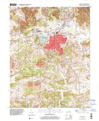
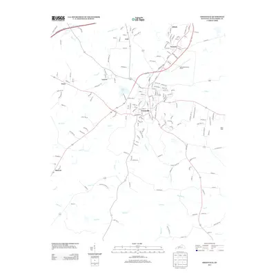
 2010 Central City West2010 Print · USGSCovers Powderly, including Central City, Bremen, and other nearby areas
 - 2010 Map of Greenville, 2010 Print
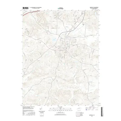
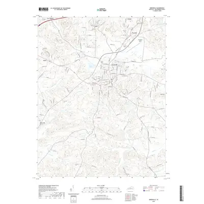
 2010 Greenville2010 Print · USGSCovers Powderly, including Greenville, Depoy, and other nearby areas
 - 2013 Map of Central City West, 2013 Print
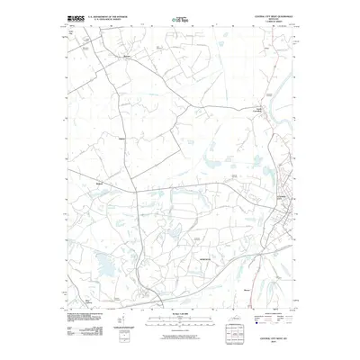
 2013 Central City West2013 Print · USGSCovers Powderly, including Central City, Bremen, and other nearby areas
 - 2013 Map of Greenville, 2013 Print
 2013 Greenville2013 Print · USGSCovers Powderly, including Greenville, Depoy, and other nearby areas
 - 2016 Map of Central City West, 2016 Print
 2016 Central City West2016 Print · USGSCovers Powderly, including Central City, Bremen, and other nearby areas
 - 2016 Map of Greenville, 2016 Print
 2016 Greenville2016 Print · USGSCovers Powderly, including Greenville, Depoy, and other nearby areas
 - 2019 Map of Greenville, 2019 Print
 2019 Greenville2019 Print · USGSCovers Powderly, including Greenville, Depoy, and other nearby areas
 - 2019 Map of Central City West, 2019 Print
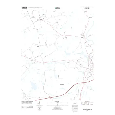
 2019 Central City West2019 Print · USGSCovers Powderly, including Central City, Bremen, and other nearby areas
 - 2022 Map of Central City West, 2022 Print
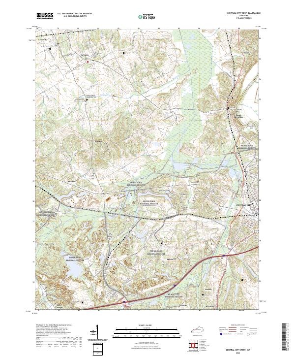 2022 Central City West2022 Print · USGSMuhlenberg County at the turn of the 2020s shows a landscape where industrial transit and ancestral grounds sit side by side. Genealogists can locate family sites like Shavers Chapel Old Cemetery or Old Dovey Cem, while tracing the legacy of the Green River and the rural roads near Bremen.
 - 2022 Map of Greenville, 2022 Print
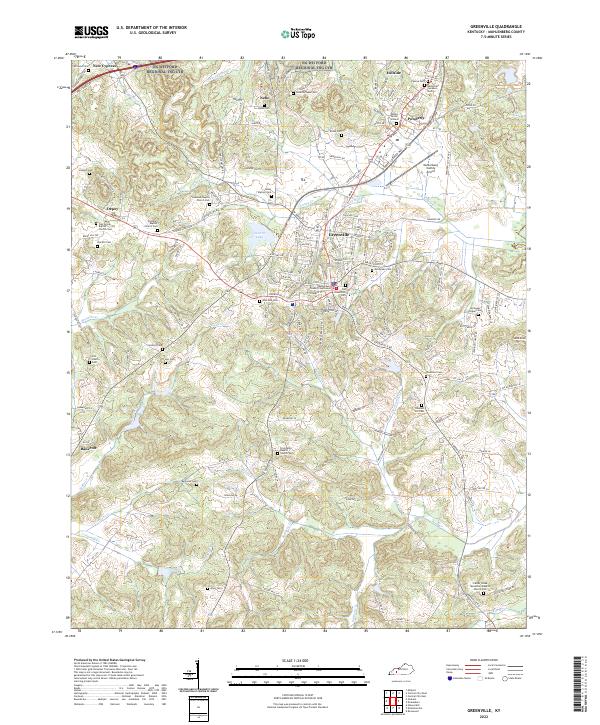 2022 Greenville2022 Print · USGSGreenville and the surrounding Muhlenberg County hill country are shown in detail during the early 2020s. Genealogists can trace family connections through a high density of rural burial sites like Caney Station Cem, Eaves Cem, and Reynolds Cem.
End of results
Showing maps 1-23 of 23
Top cities near Powderly
- Central City historical maps
- Greenville historical maps
- White Plains historical maps
- Drakesboro historical maps
- Sacramento historical maps
- Island historical maps
See more
Frequently asked questions
- What are the different types of historical maps available for Powderly?
- What is the oldest map of Powderly?
- Where can I purchase historical maps of Powderly for my home or office?
- Where can I download high-res historical maps of Powderly?
- Are there historical topographic maps available for Powderly?
- Is there historical aerial imagery available for Powderly?
- Where are historical maps of Powderly sourced from?