Old Maps of Prentiss, Kentucky for Academic Research
Study the evolution of Prentiss with 12 high-resolution historic maps. Whether you're teaching, researching, or modeling changes in land use, these maps provide essential visual documentation of urban, environmental, and geographic change.
- Analyze long-term change: Track patterns in development, transportation, and natural features.
- Ideal for environmental or urban studies: Support academic projects with primary historical map data.
- Use in the classroom or lab: Educators and researchers rely on these maps to bring historical context to life.
These maps are a powerful tool for teaching, research, and visualizing how Prentiss has changed over the decades.
Prentiss, KY maps
(12)- 1909 Map of Hartford
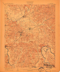 1909 Hartford1909 Print · USGSOhio County and the Green River valley are captured here just after the turn of the century, when river ferries and coal rail lines drove the local economy. Trace the old ferry crossings like Stroud Ferry and mining centers at Taylor Mines and Render.2 unique versions available
 - 1954 Map of Evansville
 1954 Evansville1954 Print · USGSThe Ohio River borderlands between Indiana and Kentucky appear here during a period of robust industrial and military growth. Genealogists and researchers can trace the rail corridors of the Illinois Central and find landmarks like US Lock and Dam No 48 or Camp Breckinridge.
 - 1954 Map of Cromwell, 1955 Print
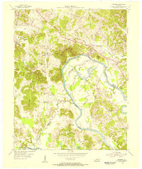 1954 Cromwell1955 Print · USGSThe Green River valley at the Butler and Ohio County border appears here in the mid-fifties, dominated by deep river bends and rural settlements. Family historians can trace ancestral sites like Paxton Cem, New Harmony Ch, and the old river crossing at Reeds Ferry.2 unique versions available
 - 1957 Map of Evansville, 1969 Print
 1957 Evansville1969 Print · USGSIndiana and Kentucky meet along the Ohio River in this mid-century survey of a vital industrial and transport corridor. Genealogists and historians can trace the development of river towns like Owensboro and Newburgh or locate old rail lines like the Southern Ry.3 unique versions available
 - 1961 Map of Evansville
 1961 Evansville1961 Print · USGSThe Ohio River valley and its surrounding coalfields are captured here during the late fifties and early sixties. Trace the industrial rail networks of the Illinois Central RR and explore regional landmarks like Mammoth Cave National Park and Angel Mounds State Memorial.2 unique versions available
 - 1971 Map of Cromwell, 1973 Print
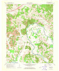 1971 Cromwell1973 Print · USGSThe Green River valley at the start of the 1970s shows a landscape transitioning between traditional river life and modern industrial expansion. Local researchers can trace family homesteads near Shultztown, locate the Southern Sch, or find vanished crossings like Reeds Ferry.
 - 1981 Map of Beaver Dam, 1984 Print
 1981 Beaver Dam1984 Print · USGSThe Western Kentucky coal and river country comes into focus in the early 1980s as industry and recreation reshape the land. Researchers can trace family roots and old routes through Morgantown, Beaver Dam, and the early footprints of Mammoth Cave National Park.
 - 2010 Map of Cromwell, 2010 Print
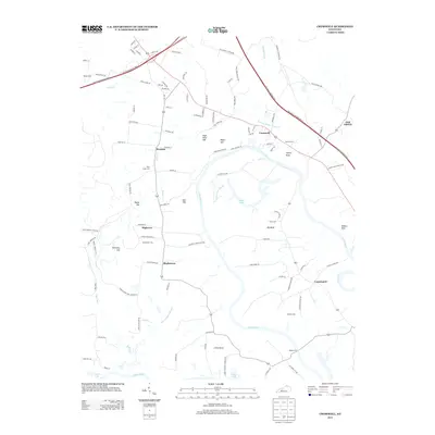
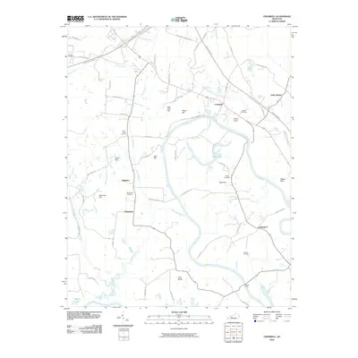 2010 Cromwell2010 Print · USGSCovers Prentiss, including Oak Grove, Shultztown, and other nearby areas
 - 2013 Map of Cromwell, 2013 Print
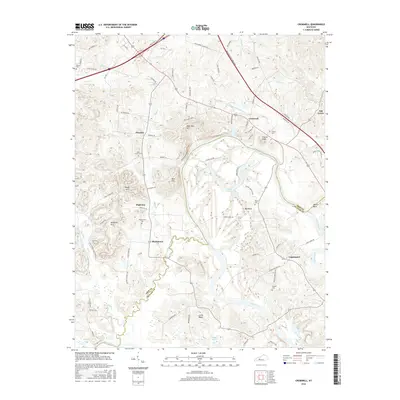
 2013 Cromwell2013 Print · USGSCovers Prentiss, including Oak Grove, Shultztown, and other nearby areas
 - 2016 Map of Cromwell, 2016 Print
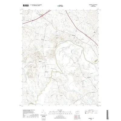
 2016 Cromwell2016 Print · USGSCovers Prentiss, including Oak Grove, Shultztown, and other nearby areas
 - 2019 Map of Cromwell, 2019 Print
 2019 Cromwell2019 Print · USGSCovers Prentiss, including Oak Grove, Shultztown, and other nearby areas
 - 2022 Map of Cromwell, 2022 Print
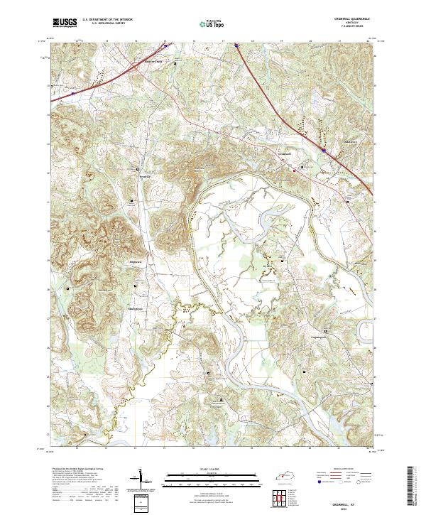 2022 Cromwell2022 Print · USGSThe Green River country along the Ohio and Butler county line reveals a landscape of deep river bends and rural heritage. Genealogists can trace family footprints at Salem Cem, Shultz Cemetery, and the riverfront settlement of Logansport.
End of results
Showing maps 1-12 of 12
Top cities near Prentiss
- Beaver Dam historical maps
- Hartford historical maps
- Morgantown historical maps
- Drakesboro historical maps
- McHenry historical maps
- Centertown historical maps
See more
Frequently asked questions
- What are the different types of historical maps available for Prentiss?
- What is the oldest map of Prentiss?
- Where can I purchase historical maps of Prentiss for my home or office?
- Where can I download high-res historical maps of Prentiss?
- Are there historical topographic maps available for Prentiss?
- Is there historical aerial imagery available for Prentiss?
- Where are historical maps of Prentiss sourced from?