Old Maps of Chapman, Kentucky for Academic Research
Study the evolution of Chapman with 14 high-resolution historic maps. Whether you're teaching, researching, or modeling changes in land use, these maps provide essential visual documentation of urban, environmental, and geographic change.
- Analyze long-term change: Track patterns in development, transportation, and natural features.
- Ideal for environmental or urban studies: Support academic projects with primary historical map data.
- Use in the classroom or lab: Educators and researchers rely on these maps to bring historical context to life.
These maps are a powerful tool for teaching, research, and visualizing how Chapman has changed over the decades.
Chapman, KY maps
(14)- 1907 Map of Morganfield
 1907 Morganfield1907 Print · USGSUnion County during the first decade of the twentieth century shows a landscape transitioning between its agrarian roots and a growing rail economy. Genealogists can locate family landmarks like Waggoner Church, the remote Topeka Crossroads, and the settlement at Seven Gums.3 unique versions available
 - 1949 Map of Morganfield, 1966 Print
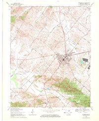
 1949 Morganfield1966 Print · USGSMorganfield and the surrounding Union County countryside are documented here during the post-war era as military activity and resource extraction shaped the land. Genealogists can locate numerous family burial grounds including Waller Cem and Sugg Cem, alongside landmarks like Antioch Ch.
 - 1951 Map of Morganfield
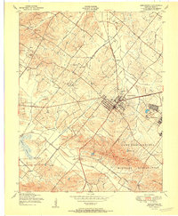 1951 Morganfield1951 Print · USGSIn Union County at the dawn of the fifties, this area was defined by the intersection of military growth and rural Kentucky life. Researchers can trace the extensive Camp Breckinridge footprint or locate family markers at Odd Fellows Cemetery and Williams Cem.
 - 1954 Map of Evansville
 1954 Evansville1954 Print · USGSThe Ohio River borderlands between Indiana and Kentucky appear here during a period of robust industrial and military growth. Genealogists and researchers can trace the rail corridors of the Illinois Central and find landmarks like US Lock and Dam No 48 or Camp Breckinridge.
 - 1957 Map of Evansville, 1969 Print
 1957 Evansville1969 Print · USGSIndiana and Kentucky meet along the Ohio River in this mid-century survey of a vital industrial and transport corridor. Genealogists and historians can trace the development of river towns like Owensboro and Newburgh or locate old rail lines like the Southern Ry.3 unique versions available
 - 1961 Map of Evansville
 1961 Evansville1961 Print · USGSThe Ohio River valley and its surrounding coalfields are captured here during the late fifties and early sixties. Trace the industrial rail networks of the Illinois Central RR and explore regional landmarks like Mammoth Cave National Park and Angel Mounds State Memorial.2 unique versions available
 - 1969 Map of Morganfield, 1971 Print
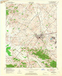
 1969 Morganfield1971 Print · USGSMorganfield and the surrounding Union County countryside are captured here in the late sixties during a period of active oil production and rail transport. Genealogists can trace family landmarks like Sugg Cem or Antioch Ch, while historians will find the Breckinridge Job Corps Center and old Illinois Central lines.
 - 1986 Map of Evansville
 1986 Evansville1986 Print · USGSThe Ohio River valley thrives in the mid-1980s as a hub of river commerce, industry, and natural preservation spanning the Indiana-Kentucky border. Genealogists and historians can locate remote landmarks like Dead Mans Cem, Lippe Church, and the riverside community of Scuffletown.
 - 1991 Map of Evansville
 1991 Evansville1991 Print · USGSThe tri-state region of Indiana and Kentucky was a hub of river commerce and rail transport in the early nineties. Researchers can trace the industrial corridor between Evansville and Owensboro, locating landmarks like Angel Mounds State Memorial and the Seaboard System railroad.
 - 2010 Map of Morganfield, 2010 Print
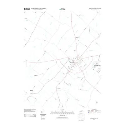
 2010 Morganfield2010 Print · USGSCovers Chapman, including Morganfield, Hamner, and other nearby areas
 - 2013 Map of Morganfield, 2013 Print
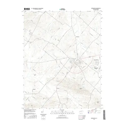
 2013 Morganfield2013 Print · USGSCovers Chapman, including Morganfield, Hamner, and other nearby areas
 - 2016 Map of Morganfield, 2016 Print
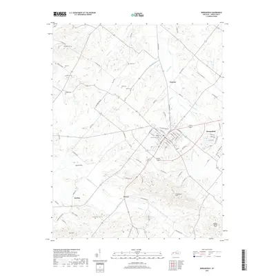
 2016 Morganfield2016 Print · USGSCovers Chapman, including Morganfield, Hamner, and other nearby areas
 - 2019 Map of Morganfield, 2019 Print
 2019 Morganfield2019 Print · USGSCovers Chapman, including Morganfield, Hamner, and other nearby areas
 - 2022 Map of Morganfield, 2022 Print
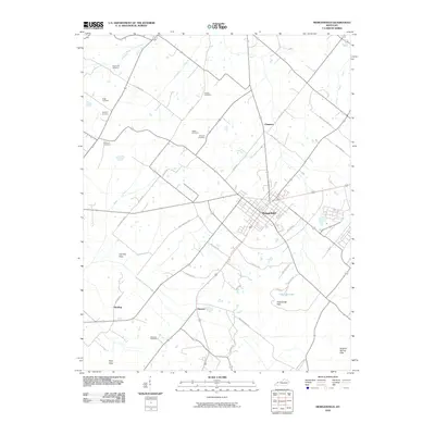
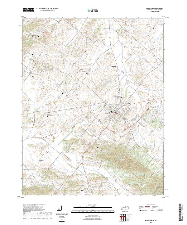 2022 Morganfield2022 Print · USGSThe Union County seat and its rural surroundings are captured here in the early 2020s. Researchers can locate numerous family burial sites like Antioch Cem and Waller Cem or trace the civic heart of Morganfield near the Union County Courthouse Annex.
End of results
Showing maps 1-14 of 14
Top cities near Chapman
- Mount Vernon historical maps
- Morganfield historical maps
- Sturgis historical maps
- Uniontown historical maps
- Corydon historical maps
- Dixon historical maps
See more
Frequently asked questions
- What are the different types of historical maps available for Chapman?
- What is the oldest map of Chapman?
- Where can I purchase historical maps of Chapman for my home or office?
- Where can I download high-res historical maps of Chapman?
- Are there historical topographic maps available for Chapman?
- Is there historical aerial imagery available for Chapman?
- Where are historical maps of Chapman sourced from?