Old Maps of Seale, Louisiana
Explore 12 old maps of Seale, spanning from 1947 to today. These high-resolution historic maps reveal how streets, neighborhoods, landmarks, and natural features evolved over time — perfect for genealogy, metal detecting, research, and local history exploration.
What you can do with these maps:
- See how Seale changed over time: Compare historical maps to modern-day views to trace roads, homesites, rail lines & more.
- View detailed metadata: Each map includes creators, publishers, year, scale, and archive source.
- Overlay maps with satellite & LiDAR: Visualize the past alongside modern tools to explore terrain & human change.
- Trusted historical sources: Maps sourced from the USGS, Library of Congress, and other archives.
- Access maps your way: View online, download high-res files, or order prints for personal or research use.
Start exploring old maps of Seale to uncover forgotten places, hidden landmarks, and the deep history beneath your feet.
Seale, LA maps
(12)- 1947 Map of Oretta
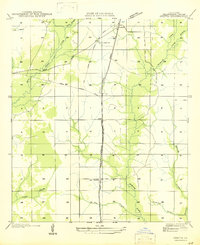 1947 Oretta1947 Print · USGSBeauregard Parish timber and rail operations are preserved here during the mid-forties, showing the vital connection between industry and small settlements. Trace the footprints of Oretta, Juanita, and the Old Logging Railroad Grade through the piney woods.
 - 1952 Map of Lake Charles
 1952 Lake Charles1952 Print · USGSSouthwest Louisiana is captured here in the mid-fifties, showing a landscape defined by the rise of the petrochemical industry and deep-water navigation. Researchers can trace family roots through numerous small-town settlements and oil developments like Nibletts Bluff, the Lockport Oil Field, and Starks.
 - 1954 Map of Lake Charles, 1964 Print
 1954 Lake Charles1964 Print · USGSSouthwest Louisiana in the mid-fifties is defined by its massive petroleum industry and its complex network of bayous and rail lines. Researchers can trace the development of the Sulphur Mines Oil Field or locate historic settlements like Longville and De Quincy.3 unique versions available
 - 1956 Map of Oretta
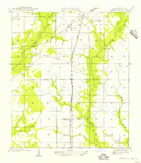 1956 Oretta1956 Print · USGSMid-century Beauregard Parish reveals a landscape shaped by timber and transit during this era of transition. Genealogists and historians can trace the development of Oretta, Seale, and Juanita along the Kansas City Southern Railroad.
 - 1961 Map of Singer, 1963 Print
 1961 Singer1963 Print · USGSBeauregard Parish in the early sixties is a landscape of timbered branches and emerging oil fields along the Southern Kansas City railroad. Genealogists and local historians can locate rural landmarks like Holly Grove Ch, Juanita, and the Oretta Cem.2 unique versions available
 - 1986 Map of DeRidder
 1986 DeRidder1986 Print · USGSThe Louisiana-Texas borderlands come to life in the mid-eighties, showcasing the timber country and rail corridors of the Sabine River valley. Researchers can trace the legacy of small communities and transit lines through Merryville, Holly Springs, and the Missouri Pacific railroad.2 unique versions available
 - 1986 Map of Oretta, 1987 Print
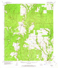
 1986 Oretta1987 Print · USGSSouthern Beauregard Parish comes into focus during the mid-eighties as a landscape of timber management and small rural communities. Researchers can trace the layout of Oretta and Juanita, or locate the FISH HATCHERY and Cem near the winding Bear Head Creek.
 - 2012 Map of Oretta, 2012 Print
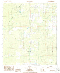
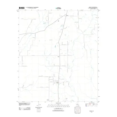 2012 Oretta2012 Print · USGSCovers Seale, including Juanita, Oretta, and other nearby areas
 - 2015 Map of Oretta, 2015 Print
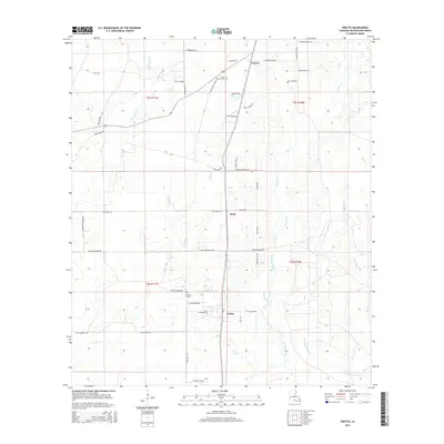 2015 Oretta2015 Print · USGSCovers Seale, including Juanita, Oretta, and other nearby areas
 - 2018 Map of Oretta, 2018 Print
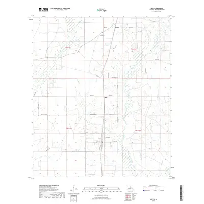 2018 Oretta2018 Print · USGSCovers Seale, including Juanita, Oretta, and other nearby areas
 - 2020 Map of Oretta, 2020 Print
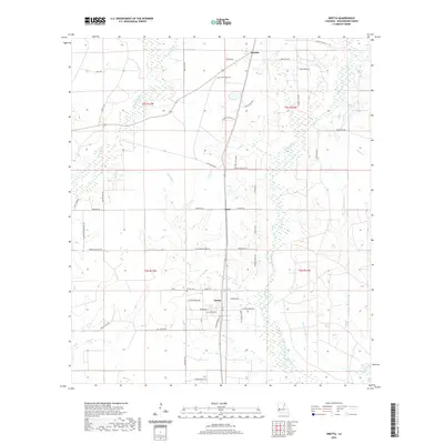 2020 Oretta2020 Print · USGSCovers Seale, including Juanita, Oretta, and other nearby areas
 - 2024 Map of Oretta, 2024 Print
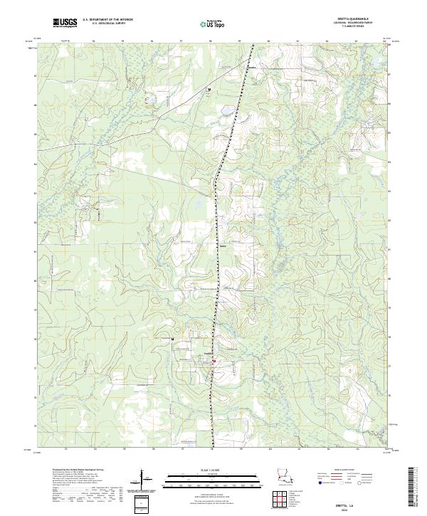 2024 Oretta2024 Print · USGSLouisiana's western timberlands are mapped here in the modern era, centered on the settlement of Oretta and its surrounding wetlands. Genealogists and local historians can trace family locations near Good Hope Cem, Seale, and the reaches of Beckwith Creek.
End of results
Showing maps 1-12 of 12
Top cities near Seale
Frequently asked questions
- What are the different types of historical maps available for Seale?
- What is the oldest map of Seale?
- Where can I purchase historical maps of Seale for my home or office?
- Where can I download high-res historical maps of Seale?
- Are there historical topographic maps available for Seale?
- Is there historical aerial imagery available for Seale?
- Where are historical maps of Seale sourced from?