Old Maps of Mot, Louisiana
Explore 13 old maps of Mot, spanning from 1950 to today. These high-resolution historic maps reveal how streets, neighborhoods, landmarks, and natural features evolved over time — perfect for genealogy, metal detecting, research, and local history exploration.
What you can do with these maps:
- See how Mot changed over time: Compare historical maps to modern-day views to trace roads, homesites, rail lines & more.
- View detailed metadata: Each map includes creators, publishers, year, scale, and archive source.
- Overlay maps with satellite & LiDAR: Visualize the past alongside modern tools to explore terrain & human change.
- Trusted historical sources: Maps sourced from the USGS, Library of Congress, and other archives.
- Access maps your way: View online, download high-res files, or order prints for personal or research use.
Start exploring old maps of Mot to uncover forgotten places, hidden landmarks, and the deep history beneath your feet.
Mot, LA maps
(13)- 1950 Map of Plain Dealing NE
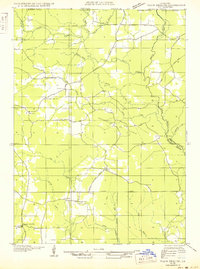 1950 Plain Dealing NE1950 Print · USGSUpper Bossier Parish was a landscape of timber and oil during the mid-century, defined by small settlements and resource extraction. Genealogists and researchers can trace local landmarks like Elizabeth Sch, the Goodwin Sawmill, and the Carterville Oil Field.
 - 1953 Map of Carterville, 1954 Print
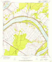 1953 Carterville1954 Print · USGSThe riverfront between Iberville and Ascension Parishes was a dense network of landings and railroads in the early 1950s. Researchers can trace the layout of the National Leprosarium at Carville or locate family sites near St Phillips Ch and Hohen Solms.
 - 1955 Map of Shreveport
 1955 Shreveport1955 Print · USGSNorthern Louisiana in the mid-fifties is captured here as a landscape of military bases, vast oil fields, and burgeoning college towns. Genealogists and historians can trace the rail-and-river economy through the Monroe Gas Field, Grambling College, and Barksdale Air Force Base.3 unique versions available
 - 1955 Map of Plain Dealing, 1956 Print
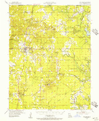 1955 Plain Dealing1956 Print · USGSNorthern Bossier Parish during the mid-fifties shows a landscape defined by burgeoning oil fields and quiet rural communities. Genealogists and local historians can locate numerous family-named landmarks and country institutions like Louisville Sch, Collinsburg Cem, and the St Marys Ch.4 unique versions available
 - 1956 Map of Shreveport
 1956 Shreveport1956 Print · USGSNorthern Louisiana during the mid-fifties presents a complex landscape of booming oil fields and strategic military installations. Genealogists and historians can trace the infrastructure of the Monroe Gas Field and family-named locales from Cotton Valley to Jonesboro.
 - 1981 Map of Carterville
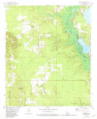 1981 Carterville1981 Print · USGSNorthwestern Louisiana oil and gas country meets the conservation lands of the Bodcau valley as they appeared in the late seventies. Researchers can trace rural lineages through family-named sites like Walker Chapel and Rogers Cem or locate the Plain Dealing Lookout Tower.
 - 1984 Map of Shreveport
 1984 Shreveport1984 Print · USGSNorthern Louisiana at the peak of the 1980s reveals a landscape of massive water management projects and Cold War military hubs. Trace the rail lines of the Kansas City Southern Ry past Barksdale Air Force Base and the high ground of Driskill Mountain.2 unique versions available
 - 1986 Map of Shreveport North
 1986 Shreveport North1986 Print · USGSNorthern Louisiana in the mid-eighties shows a landscape of expansive river bottoms and growing suburban centers. Genealogists and historians can trace the development of Shreveport, the infrastructure of Barksdale Air Force Base, and rural life in Rocky Mount.2 unique versions available
 - 2012 Map of Carterville, 2012 Print
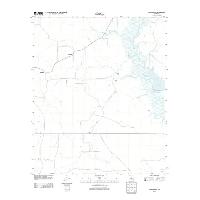 2012 Carterville2012 Print · USGSCovers Mot, including Carterville, Redland, and other nearby areas
 - 2015 Map of Carterville, 2015 Print
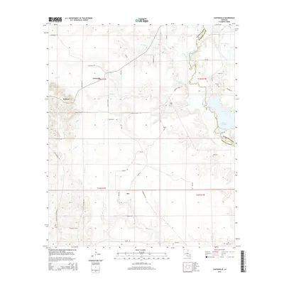 2015 Carterville2015 Print · USGSCovers Mot, including Carterville, Redland, and other nearby areas
 - 2018 Map of Carterville, 2018 Print
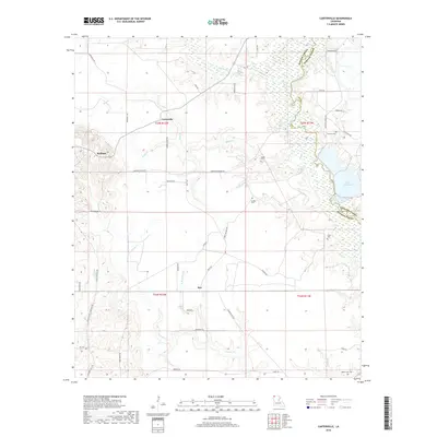 2018 Carterville2018 Print · USGSCovers Mot, including Carterville, Redland, and other nearby areas
 - 2020 Map of Carterville, 2020 Print
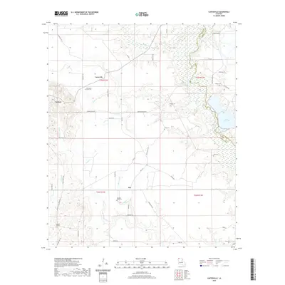 2020 Carterville2020 Print · USGSCovers Mot, including Carterville, Redland, and other nearby areas
 - 2024 Map of Carterville, 2024 Print
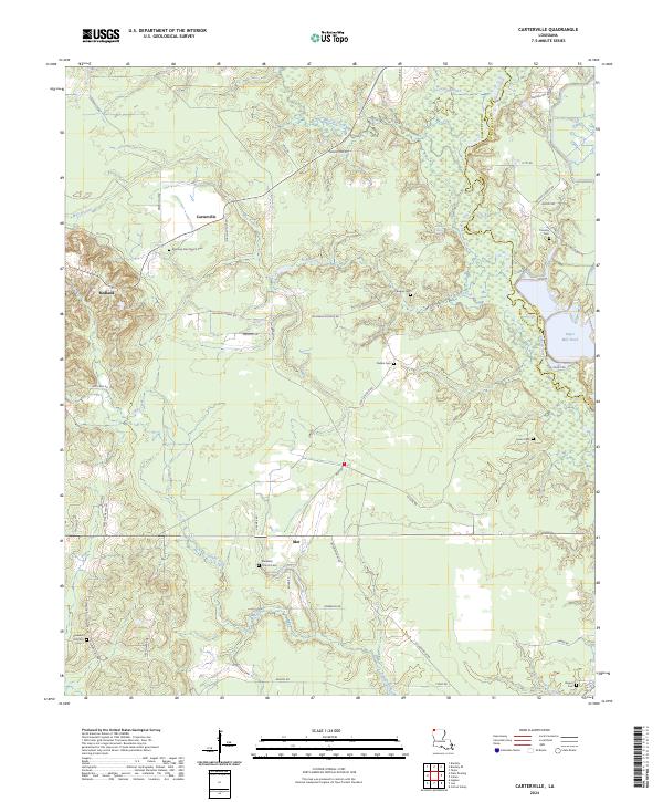 2024 Carterville2024 Print · USGSNorth Louisiana's parish boundaries and rural settlements come into focus in this contemporary study of the Bossier and Webster area. Genealogists can trace family landmarks at Morning Star Church Cem, Elizabeth Church Cem, and the small community of Mot.
End of results
Showing maps 1-13 of 13
Top cities near Mot
- Springhill historical maps
- Benton historical maps
- Cullen historical maps
- Cotton Valley historical maps
- Plain Dealing historical maps
- Sarepta historical maps
See more
Frequently asked questions
- What are the different types of historical maps available for Mot?
- What is the oldest map of Mot?
- Where can I purchase historical maps of Mot for my home or office?
- Where can I download high-res historical maps of Mot?
- Are there historical topographic maps available for Mot?
- Is there historical aerial imagery available for Mot?
- Where are historical maps of Mot sourced from?