Old Maps of Greenwood, Louisiana
Explore 23 old maps of Greenwood, spanning from 1943 to today. These high-resolution historic maps reveal how streets, neighborhoods, landmarks, and natural features evolved over time — perfect for genealogy, metal detecting, research, and local history exploration.
What you can do with these maps:
- See how Greenwood changed over time: Compare historical maps to modern-day views to trace roads, homesites, rail lines & more.
- View detailed metadata: Each map includes creators, publishers, year, scale, and archive source.
- Overlay maps with satellite & LiDAR: Visualize the past alongside modern tools to explore terrain & human change.
- Trusted historical sources: Maps sourced from the USGS, Library of Congress, and other archives.
- Access maps your way: View online, download high-res files, or order prints for personal or research use.
Start exploring old maps of Greenwood to uncover forgotten places, hidden landmarks, and the deep history beneath your feet.
Greenwood, LA maps
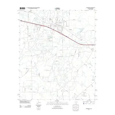
(23)- 1943 Map of Waskom, 1954 Print
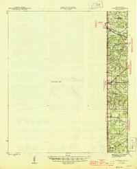
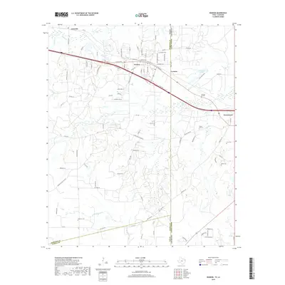
 1943 Waskom1954 Print · USGSThe Texas-Louisiana borderlands in the 1940s were a network of rural schools and rail-side settlements. Genealogists can trace family footprints through numerous sites like Union Chapel, Richmond Sch, and Forest Park Cem along the interstate line.
 - 1945 Map of Waskom
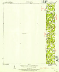
 1945 Waskom1945 Print · USGSThe Texas-Louisiana borderlands come into focus during the mid-1940s as rail and road networks began to reshape rural Harrison and Panola counties. Genealogists can trace family landmarks like Forest Park Cem, Union Chapel, and numerous schools including Waco Sch and Liberty Sch.
 - 1945 Map of Greenwood
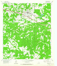
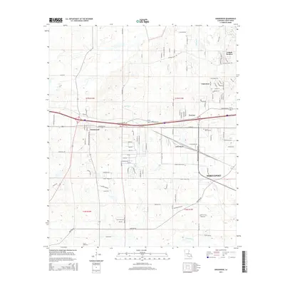
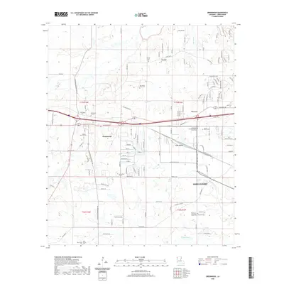
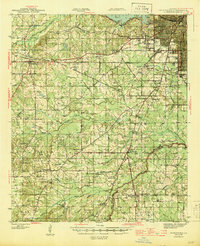 1945 Greenwood1945 Print · USGSShreveport's southwestern outskirts and the rural reaches of Caddo Parish are captured here during the mid-forties. Genealogists can trace family names through numerous landmarks like Marshall Cem, Hall Grove Sch, and the Caddo Parish Penal Farm.
 - 1955 Map of Shreveport
 1955 Shreveport1955 Print · USGSNorthern Louisiana in the mid-fifties is captured here as a landscape of military bases, vast oil fields, and burgeoning college towns. Genealogists and historians can trace the rail-and-river economy through the Monroe Gas Field, Grambling College, and Barksdale Air Force Base.3 unique versions available
 - 1955 Map of Greenwood, 1956 Print
 1955 Greenwood1956 Print · USGSShreveport and Caddo Parish undergo a mid-century transformation as suburban growth reaches the new airport and the Texas and Pacific rail lines. Genealogists and local historians can trace family-named sites like Pollard Cem, legacy schools like Greenwood Sch, and rural hubs like Keithville.2 unique versions available
 - 1956 Map of Shreveport
 1956 Shreveport1956 Print · USGSNorthern Louisiana during the mid-fifties presents a complex landscape of booming oil fields and strategic military installations. Genealogists and historians can trace the infrastructure of the Monroe Gas Field and family-named locales from Cotton Valley to Jonesboro.
 - 1956 Map of Tyler
 1956 Tyler1956 Print · USGSEast Texas was a powerhouse of oil production and rail transport during the mid-fifties, centered on the sprawling East Texas Oil Field. Researchers can trace the heritage of industrial hubs like Kilgore, military sites such as the Longhorn Ordnance Works, and many rural landmarks like Mount Enterprise.5 unique versions available
 - 1962 Map of Waskom, 1964 Print
 1962 Waskom1964 Print · USGSThe borderlands of East Texas and Western Louisiana were a hub of railroad and petroleum activity in the early sixties. Genealogists and historians can trace the foundations of Waskom through local landmarks like Union Chapel and the Abney High Sch.4 unique versions available
 - 1982 Map of Greenwood
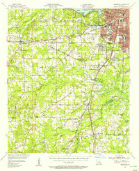
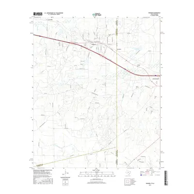
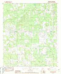 1982 Greenwood1982 Print · USGSCaddo Parish in the early eighties shows the westward growth of the Shreveport area toward the Louisiana-Texas border. Genealogists and local historians can locate old burial sites marked Cem and trace rural landmarks like Hicks Crossing and Lake Hayes.
 - 1984 Map of Tyler
 1984 Tyler1984 Print · USGSEast Texas at the peak of its reservoir-building era shows a landscape defined by new lakes and established rail corridors. Trace the path of the St Louis Southwestern RR or locate industrial sites like the Longhorn Ordnance Works.3 unique versions available
 - 1984 Map of Shreveport
 1984 Shreveport1984 Print · USGSNorthern Louisiana at the peak of the 1980s reveals a landscape of massive water management projects and Cold War military hubs. Trace the rail lines of the Kansas City Southern Ry past Barksdale Air Force Base and the high ground of Driskill Mountain.2 unique versions available
 - 1985 Map of Shreveport South
 1985 Shreveport South1985 Print · USGSNorthwest Louisiana in the mid-eighties shows a landscape defined by the Red River and a transition from urban centers to deep timberland. Researchers can trace the rail-and-river economy through landmarks like Barksdale Air Force Base, the Sligo Oil and Gas Field, and Lake Bistineau.2 unique versions available
 - 1986 Map of Henderson
 1986 Henderson1986 Print · USGSEast Texas and the Louisiana borderlands come into focus in the 1980s as industrial energy production meets quiet rural townships. Researchers can trace family sites and local landmarks from Elysian Fields to Old Panola, alongside major features like the Strip Mine and Martin Lake State Park.2 unique versions available
 - 2010 Map of Waskom, 2010 Print
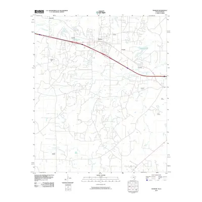 2010 Waskom2010 Print · USGSCovers Greenwood, including Waskom, Lorraine, and other nearby areas
 - 2012 Map of Greenwood, 2012 Print
 2012 Greenwood2012 Print · USGSCovers Greenwood, including Shreveport, Lake Hayes, and other nearby areas
 - 2013 Map of Waskom, 2013 Print
 2013 Waskom2013 Print · USGSCovers Greenwood, including Waskom, Lorraine, and other nearby areas
 - 2015 Map of Greenwood, 2015 Print
 2015 Greenwood2015 Print · USGSCovers Greenwood, including Shreveport, Lake Hayes, and other nearby areas
 - 2016 Map of Waskom, 2016 Print
 2016 Waskom2016 Print · USGSCovers Greenwood, including Waskom, Lorraine, and other nearby areas
 - 2018 Map of Greenwood, 2018 Print
 2018 Greenwood2018 Print · USGSCovers Greenwood, including Shreveport, Lake Hayes, and other nearby areas
 - 2019 Map of Waskom, 2019 Print
 2019 Waskom2019 Print · USGSCovers Greenwood, including Waskom, Lorraine, and other nearby areas
 - 2020 Map of Greenwood, 2020 Print
 2020 Greenwood2020 Print · USGSCovers Greenwood, including Shreveport, Lake Hayes, and other nearby areas
 - 2022 Map of Waskom, 2022 Print
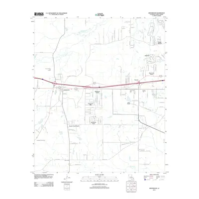
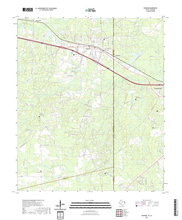 2022 Waskom2022 Print · USGSThe Texas-Louisiana borderlands come alive in this survey of the Harrison and Caddo Parish line during the early twenty-first century. Researchers can trace family history through a wealth of local landmarks including Restland Cem, Jonesville, and the Pine Grove Church of God in Christ Cem.
 - 2024 Map of Greenwood, 2024 Print
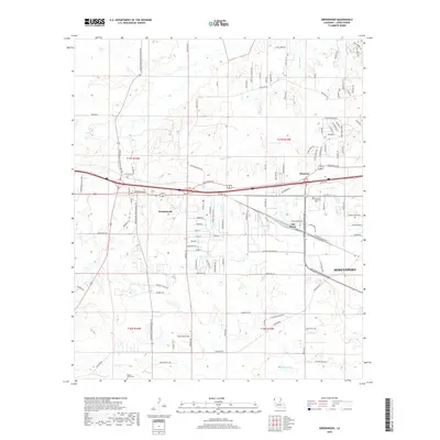
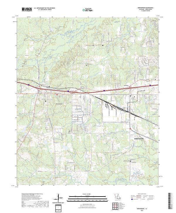 2024 Greenwood2024 Print · USGSWest of Shreveport in the 2020s, the landscape around Greenwood preserves a high density of early community sites and family landmarks. Genealogists and historians can trace numerous burial sites like Bayliss Grave Yard and Jackson Pine Hill Cem or locate Paige Chapel Church.
End of results
Showing maps 1-23 of 23
Top cities near Greenwood
- Shreveport historical maps
- Bossier City historical maps
- Blanchard historical maps
- Waskom historical maps
- Stonewall historical maps
Top neighborhoods of Greenwood
Frequently asked questions
- What are the different types of historical maps available for Greenwood?
- What is the oldest map of Greenwood?
- Where can I purchase historical maps of Greenwood for my home or office?
- Where can I download high-res historical maps of Greenwood?
- Are there historical topographic maps available for Greenwood?
- Is there historical aerial imagery available for Greenwood?
- Where are historical maps of Greenwood sourced from?