Old Maps of Garfield Plantation, Maine
Explore 37 old maps of Garfield Plantation, spanning from 1930 to today. These high-resolution historic maps reveal how streets, neighborhoods, landmarks, and natural features evolved over time — perfect for genealogy, metal detecting, research, and local history exploration.
What you can do with these maps:
- See how Garfield Plantation changed over time: Compare historical maps to modern-day views to trace roads, homesites, rail lines & more.
- View detailed metadata: Each map includes creators, publishers, year, scale, and archive source.
- Overlay maps with satellite & LiDAR: Visualize the past alongside modern tools to explore terrain & human change.
- Trusted historical sources: Maps sourced from the USGS, Library of Congress, and other archives.
- Access maps your way: View online, download high-res files, or order prints for personal or research use.
Start exploring old maps of Garfield Plantation to uncover forgotten places, hidden landmarks, and the deep history beneath your feet.
Garfield Plantation, ME maps
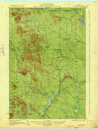
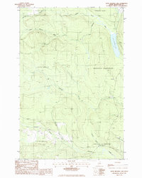
(37)- 1930 Map of Greenlaw
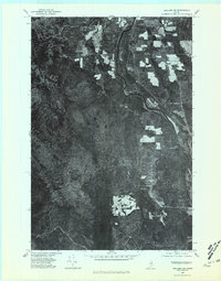
 1930 Greenlaw1930 Print · USGSAroostook County was a hub of timber and rail activity in the early thirties, defined by remote camps and a developing backcountry road network. Genealogists and historians can trace old routes like the Old Military Road and locate sites such as Seven Mile Camp and Greenlaw Crossing.5 unique versions available
 - 1931 Map of Ashland
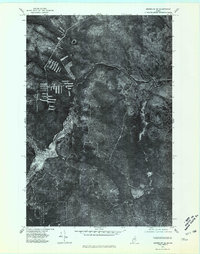
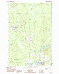
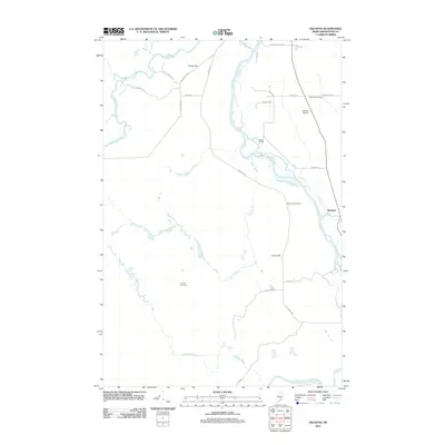
 1931 Ashland1931 Print · USGSAroostook County logging and rail life are detailed here in the early 1930s, centered on the Ashland and Sheridan settlements. Researchers can trace rural school districts from McClellan Sch to Garfield Sch or locate industrial sites like Newlands Mill and the Squapan Dam.
 - 1933 Map of Greenlaw
 1933 Greenlaw1933 Print · USGSAroostook County’s timberlands are shown here in the early 1930s, when river landings and remote sporting camps defined the deep woods. Researchers can trace historic logging routes like the Old Military Road and locate vanished outposts such as Orcutts Camp and The Owls Roost.3 unique versions available
 - 1934 Map of Ashland
 1934 Ashland1934 Print · USGSAroostook County's timber and rail heritage is on full display in the 1930s, centered on the confluence of the Aroostook River and Bangor and Aroostook line. Genealogists can locate family schoolhouses like Rockwell Sch and early industrial sites such as Nowland Mill.3 unique versions available
 - 1953 Map of Ashland, 1955 Print
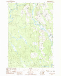
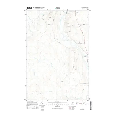
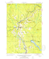 1953 Ashland1955 Print · USGSAroostook County timber and rail networks are in sharp focus during the early fifties, centering on the river valley south of Portage Lake. Genealogists can trace family footprints at Winslow Cem, Rockwell Sch, and the rail sidings of Sheridan and Masardis.4 unique versions available
 - 1954 Map of Presque Isle, 1968 Print
 1954 Presque Isle1968 Print · USGSNorth Woods logging and rail history come alive in this mid-century survey of the Maine-Quebec borderlands. Genealogists and historians can trace the Bangor and Aroostook railroad through timber hubs like Ashland, Smyrna Mills, and Presque Isle.2 unique versions available
 - 1958 Map of Presque Isle
 1958 Presque Isle1958 Print · USGSThe Aroostook timber and potato country is captured here during the late fifties, showing the vital rail-to-river network of Northern Maine. Genealogists and historians can trace the Bangor & Aroostook RR through Mapleton and Ashland, or locate remote sites like Chamberlain Farm and Seven Islands.
 - 1960 Map of Presque Isle
 1960 Presque Isle1960 Print · USGSNorthern Maine during the mid-century was a land of timber, rails, and strategic airfields. Genealogists and historians can trace the growth of Presque Isle and Ashland or explore the remote northern reaches of Baxter State Park and Presque Isle AFB.3 unique versions available
 - 1975 Map of Ashland NW, 1981 Print
 1975 Ashland NW1981 Print · USGSIn the mid-1970s, the northern Maine woods around the Ashland settlement reveal a landscape shaped by river and timber. Researchers can trace the exact 1975 footprints of riverside clearings along the Aroostook River and the winding Machias River.
 - 1975 Map of Greenlaw NE, 1981 Print
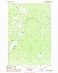
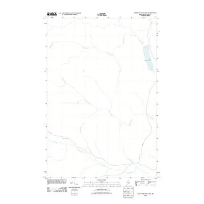
 1975 Greenlaw NE1981 Print · USGSThe deep woods of Aroostook County are seen from above in the mid-seventies, showing the Maine wilderness before decades of modern forest management. Trace the untouched shore of Little Machias Lake and the winding course of the Little Machias River.
 - 1975 Map of Ashland SW, 1981 Print
 1975 Ashland SW1981 Print · USGSAroostook County was a landscape of dense timber and river-side farming in the mid-seventies, as seen in this detailed aerial study. Researchers can trace the winding path of the Aroostook River and identify land clearings near Squa Pan and the Machias River.
 - 1975 Map of Greenlaw SE, 1981 Print
 1975 Greenlaw SE1981 Print · USGSLogging operations and watercourses define this section of the Maine woods in the mid-seventies. Trace the winding path of the Machias River and the isolated drainage of Greenlaw Stream through dense timberland and recent clearings.
 - 1986 Map of Squa Pan
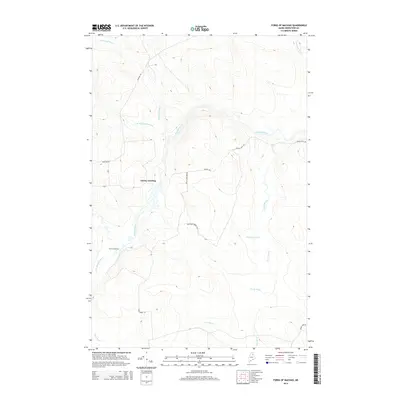
 1986 Squa Pan1986 Print · USGSAroostook County was a landscape of timber and intersecting rivers during the mid-eighties, centered on the junction of the Machias River and Aroostook River. Genealogists and local historians can trace the borders of Garfield Plantation and find landmarks like the Town Hall and Squa Pan settlement.
 - 1986 Map of Forks of Machias
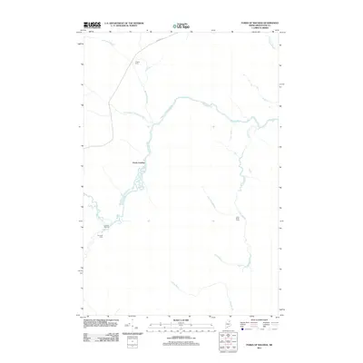
 1986 Forks of Machias1986 Print · USGSAroostook County's remote timberlands are captured here in the mid-1980s, centered on the winding Machias River and its many tributaries. Researchers can locate isolated landmarks like V E Lynch Camp, the Forks of Machias, and Grassy Landing.
 - 1986 Map of Little Machias Lake
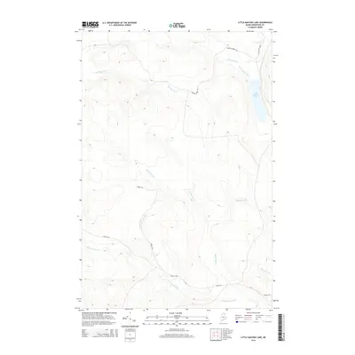
 1986 Little Machias Lake1986 Print · USGSAroostook County timberlands are mapped here in the mid-1980s, showcasing the remote township system and logging networks. Researchers can trace historic drainage paths and access points through Nashville Plantation and along Little Machias Lake.
 - 1986 Map of Ashland
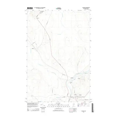
 1986 Ashland1986 Print · USGSAshland and the river valleys of northern Maine are captured here in the mid-eighties as timber and local industry shaped the landscape. Genealogists and historians can trace the residents of Sheridan, Skerry, and the riverfront lots along the Old RR Grade.
 - 1994 Map of Presque Isle
 1994 Presque Isle1994 Print · USGSAroostook County in the mid-nineties shows a landscape defined by timber, rail, and river-valley farming. Genealogists and historians can trace the Bangor & Aroostook RR through small stations and settlements like Winterville Sta, Buffalo, and Sheridan.
 - 2011 Map of Ashland, 2011 Print
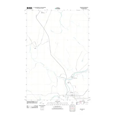 2011 Ashland2011 Print · USGSCovers Garfield Plantation, including Ashland, Portage Lake, and other nearby areas
 - 2011 Map of Forks of Machias, 2011 Print
 2011 Forks of Machias2011 Print · USGSCovers Garfield Plantation, including T11 R7 WELS, T10 R6 WELS, and other nearby areas
 - 2011 Map of Little Machias Lake, 2011 Print
 2011 Little Machias Lake2011 Print · USGSCovers Garfield Plantation, including Portage Lake, Nashville Plantation, and other nearby areas
 - 2011 Map of Scopan, 2011 Print
 2011 Scopan2011 Print · USGSCovers Garfield Plantation, including Ashland, Masardis, and other nearby areas
 - 2014 Map of Ashland, 2014 Print
 2014 Ashland2014 Print · USGSCovers Garfield Plantation, including Ashland, Portage Lake, and other nearby areas
 - 2014 Map of Scopan, 2014 Print
 2014 Scopan2014 Print · USGSCovers Garfield Plantation, including Ashland, Masardis, and other nearby areas
 - 2014 Map of Forks of Machias, 2014 Print
 2014 Forks of Machias2014 Print · USGSCovers Garfield Plantation, including T11 R7 WELS, T10 R6 WELS, and other nearby areas
 - 2014 Map of Little Machias Lake, 2014 Print
 2014 Little Machias Lake2014 Print · USGSCovers Garfield Plantation, including Portage Lake, Nashville Plantation, and other nearby areas
Showing maps 1-25 of 37
Top cities near Garfield Plantation
- Ashland historical maps
- Castle Hill historical maps
- Portage Lake historical maps
- Wade historical maps
- Masardis historical maps
- Oxbow historical maps
See more
Frequently asked questions
- What are the different types of historical maps available for Garfield Plantation?
- What is the oldest map of Garfield Plantation?
- Where can I purchase historical maps of Garfield Plantation for my home or office?
- Where can I download high-res historical maps of Garfield Plantation?
- Are there historical topographic maps available for Garfield Plantation?
- Is there historical aerial imagery available for Garfield Plantation?
- Where are historical maps of Garfield Plantation sourced from?